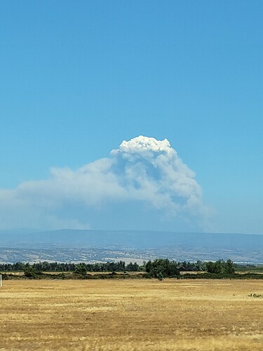
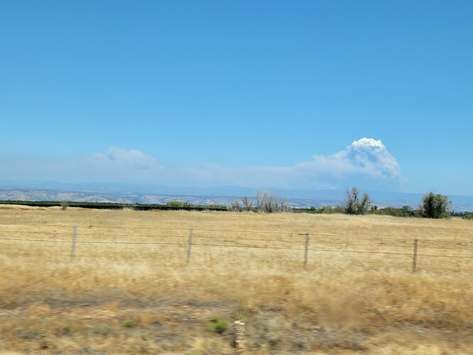
Same cam but in the last hour… trying to figure out if that is a spot in the middle of the screen… with vehicles headed for it… or another vehicle? That alignment seems like that would be VERY bad!
We have been talking about this since it jumped the river the first time, that drainage hasn’t seen big fire for a while and is in perfect alignment with the winds and with the turn in the main canyon there spotting back across is likely
I think I see 5 set of lights…ST?
Think the fair is actually the following weekend due to a scheduling issue.
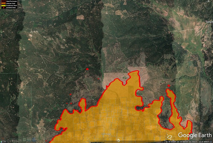
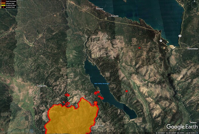
Last night’s IR (7/21/21 - 0300) - is showing some spots way out (4 miles) in front of the fire across Butt Lake. Anyone know anything about this? Looks like there are also some large spots about a mile ahead of the fire west of Humbug Valley).
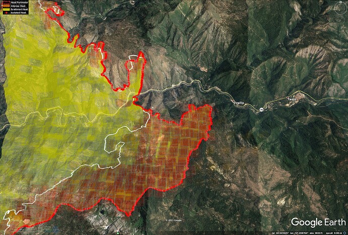
The fire spread about 3 miles up the East Branch Feather River around Virgilia.
I just finished watching the morning briefing and Night Ops thinks a couple of those fires might be lightning holdovers from a couple of days ago.
CAL FIRE | DIXIE FIRE 7.21.21 7AM - YouTube starting at roughly the 3:00 minute mark.
Caltopo has heat to the Butt Reservoir shore:
https://caltopo.com/map.html#ll=40.12844,-121.17513&z=14&b=t&o=f16a%2Cr&n=1,0.25&a=fire%2Cmodis_mp
Copy, thanks for the info.
Looks like it might be running up Soda and Mosquito Ravines to the west of Butt Lake. Dense, dry brush and still some pretty dense timber, in very steep terrain.
Any idea why are they discontinuing live morning updates after today? Seem really helpful as long as this thing is a beast.
Technical question. During the A.M. briefing they used a projection device. Was that a rear projection screen or a T.V. wall? Inquiring minds want to know. If anyone saw it live, how was the clarity and definition with the lighting conditions? Finally, there was a lot of seamless panning and zooming which kind of eliminates PowerPoint. Any idea of display software being used? It seemed to be very legible and clear.
I was wondering same thing! LOL It looked real good to me online. I’m in I.T. and work with front and back projection, spring loaded popup, wall mount tension, electric retractable ceiling mount, etc.
Didn’t see it, but could it have been a Smartboard. They are awesome for presentations once you learn how to use it.
It is similar to a Jumbotron. It’s multiple LED screens linked together and the display is connected to a laptop computer with a person assigned to manipulate the image. Last year on the North Complex West Zone we would create a PowerPoint and use the remote to switch slides as required. There are two 55” (I think) tv’s out behind the wall with additional speakers for the folks who can’t fit in the main briefing area. It works great!
Anyone have an ops map or link to the IAP?
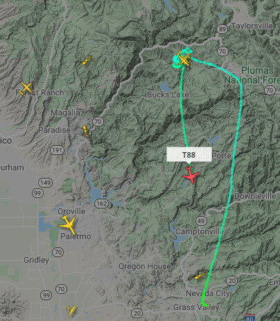
A couple of tankers up this morning . Just getting started. Coming from Stead , Redding and Grass Valley
It looks like they are dropping on the Bucks Lake Wildness Area this morning
Kind of surprised there’s not at least an evacuation warning for Greenville/Indian Valley. It’s much more likely to reach there than Chester, given the lake, the heavily logged area west of Almanor, and the prevailing winds.
AQI for Chester is 265 at the moment with light ashfall, and visibility is “the end of the street,” but I don’t quite see this fire, or the recent lightning strike spotfires, heading this way.
