From the looks of this it is a FS Fire not BTU.
It is a BTU incident. The forest boundary is not always the jurisdictional line, due to swapping DPA’s so they aren’t checkerboarded. But it is confirmed being run by BTU, on a BTU incident number.
7 Likes
Yes Sir, another one of these areas in the state to have a fire that’s NO BUENO…This is not a canyon(place) to hang fire up in at anytime. The troops have their work cut out for them.
3 Likes
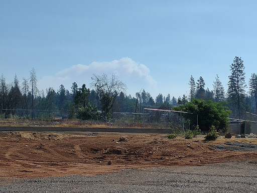
It already building a column at 7:00 in the morning. Hoping they can get around this early but it’s not looking good right now.
2 Likes
Yeah
That 1hr Flea Mtn camera is ominous
5 Likes
Fire activity picking up, heard someone asking to pull back and for positive accountability.
1 Like
Looks like the VIIRS IR data is from about 2am.
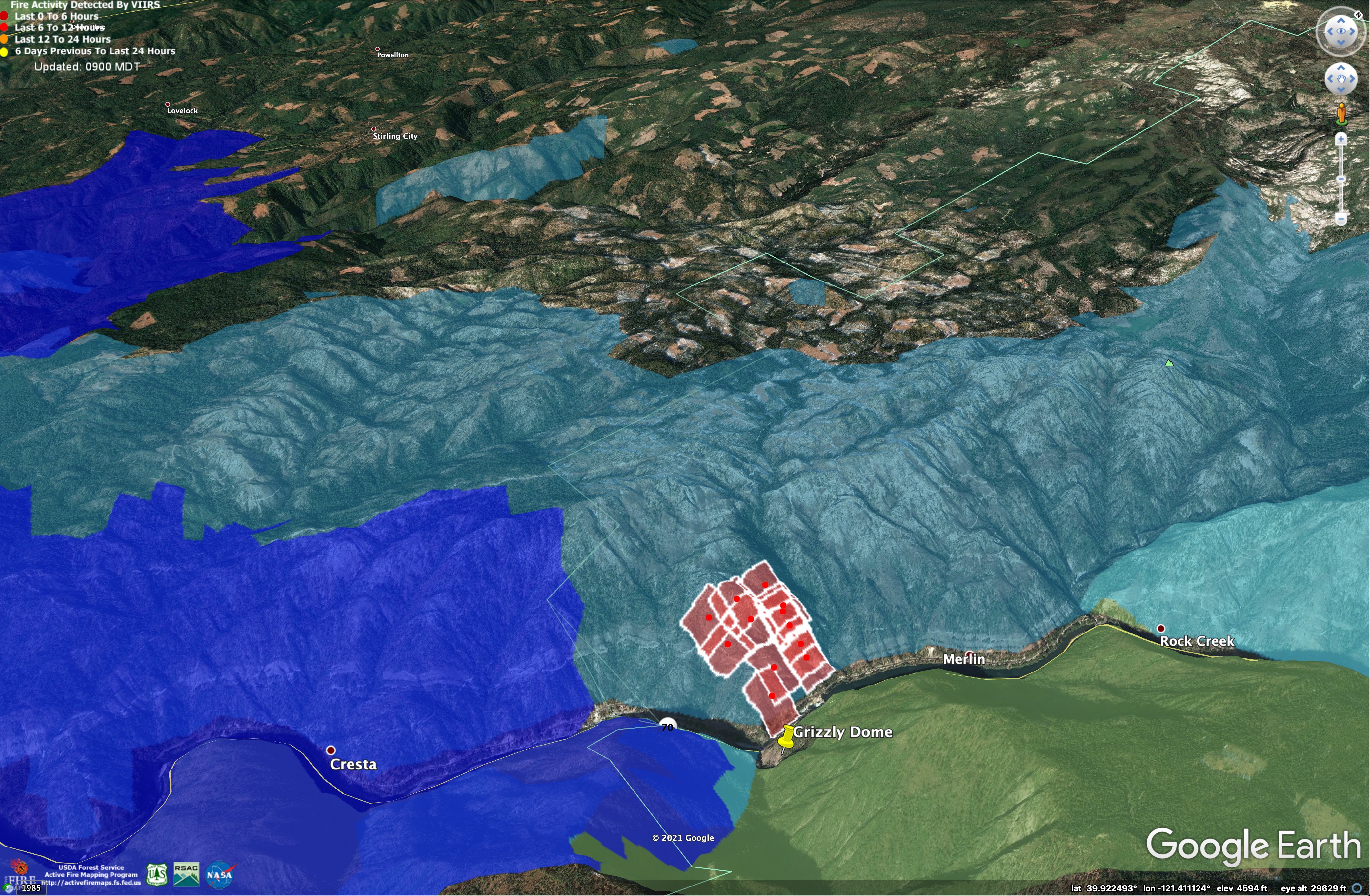
Blue area is 2018 Camp Fire.
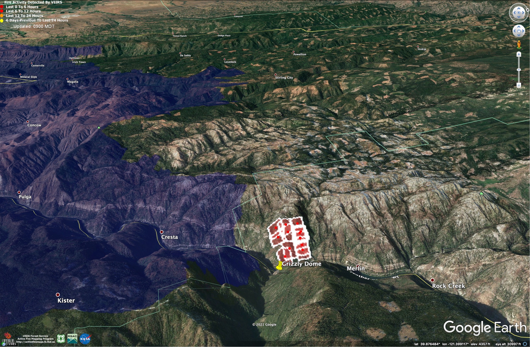
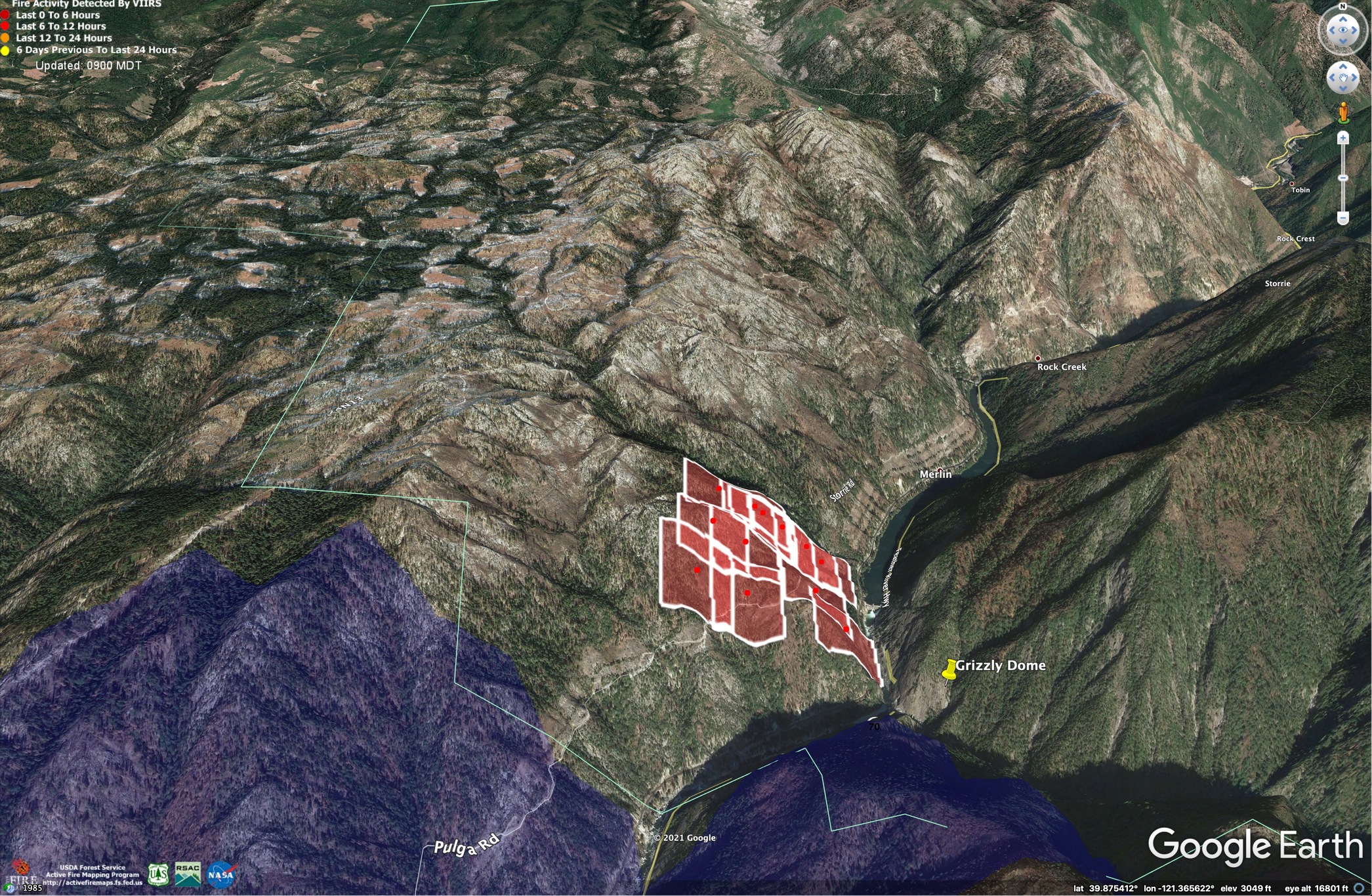
The whole area burned with mixed severity during 2008 BTU Lightning Complex - Light blue on this image.
Here are two Avenza-ready maps from the 2020 North Complex Contingency Branch. Just pulled them off the ftp site, so don’t know if they have as much info as Ehoss’ map…
8 Likes
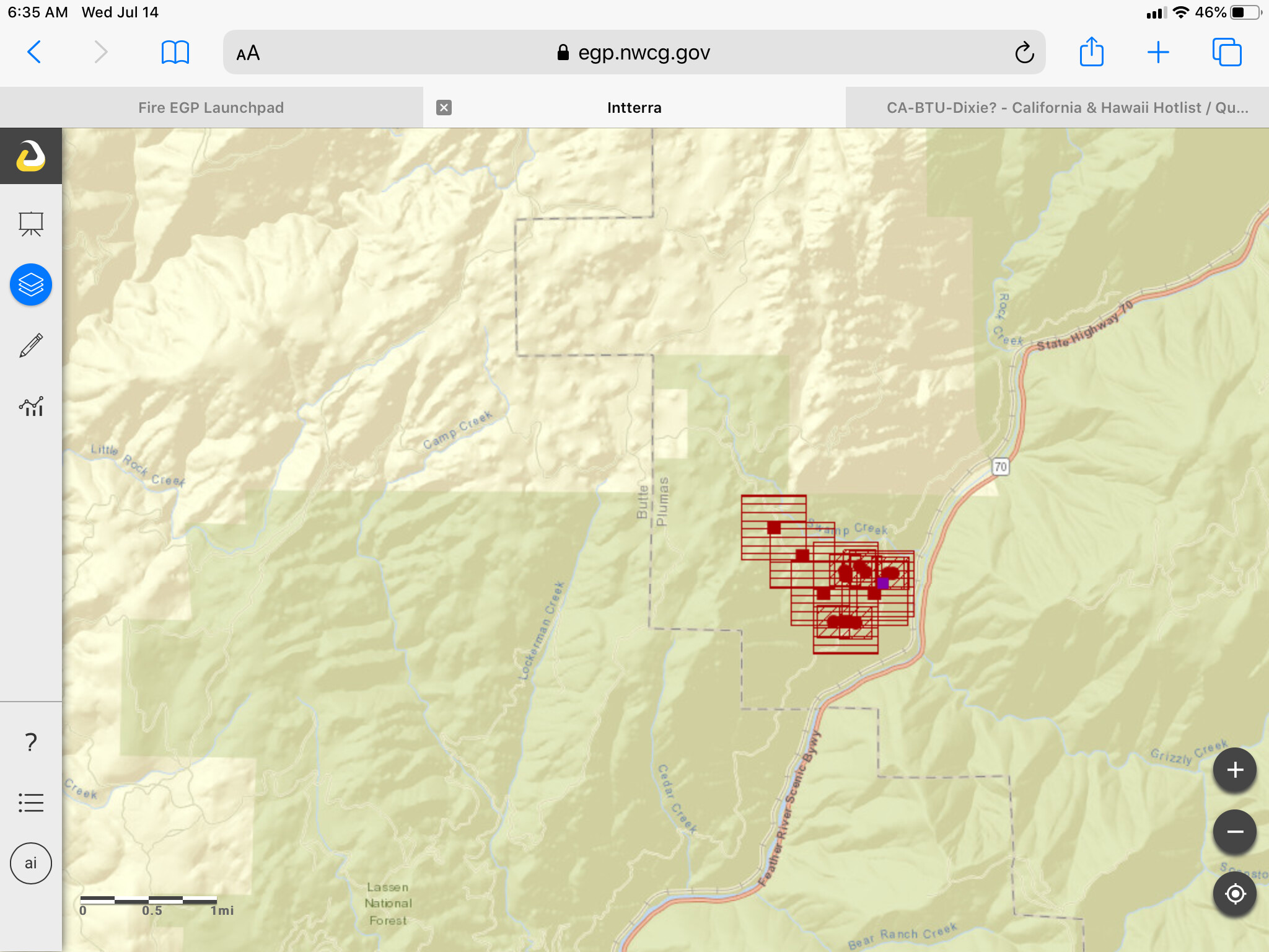
500 acres and 0% containment.
2 Likes
Latest update is the fire is at 500 acres with no containment.
1 Like
AA-210 enroute…
500 with zero containment. This ones in for the long haul! Very impressive Header for 0830.
2 Likes
Sounds like it is now at least 900 acres and making runs up canyon and toward the ridge top (300 U Line). Will be moving back to contingency lines and augmenting the aircraft order for this morning.
2 Likes
300 U line was a lot of the Contengency from last year. Beyond Lynch Meadows there is uninterrupted Timber
STAY SAFE
LCES EVERYONE
4 Likes
Its active this morning on cams:ALERTWildfire | Shasta Modoc
Caltopo maps has it as ( lots of history/old burns in area) wehttps://caltopo.com/map.html#ll=39.87525,-121.39515&z=14&b=t&o=f16a%2Cgoes_0&n=1,0.25&a=fire%2Cmodis_mpll:
1 Like
Now that AA has been over the fire for a while, has there been an aircraft order placed for the day, besides the 2 S-2’s and C205?
1 Like
Orders for a couple LAT’s and additional copters went in about 45 minutes ago.
2 Likes
1200 acres.
2 Likes
It’s a pretty bad setup. The lower atmosphere has cleared out in last few minutes, and the fire is stretching out a healthy column to the NW. It is going to spread fire way out in that direction with long-range spotting and the afternoon upslope winds and terrain are going to want to push it north.

Downslope winds tonight could push it SW toward Stirling City and inaccessible parts of Kimshew Creek Gorge.
Really liking the wind forecast, fire history, and heat detection layers in CalTopo. Great tool!
https://caltopo.com/map.html#ll=39.92961,-121.37728&z=13&b=f16a&o=r&n=0.3&a=fire%2Cmodis_mp%2Cwxd_wgust-06
5 Likes
a look from Paradise . Starting to get a good whiff of the smoke. and away we go… dejavu all over again
caltopo is awesome. thx. Makes me wonder why I live here… damn there are a few fires up here… cray life. lol
6 Likes
Long range spotting visible in Bald Mtn camera.
http://www.alertwildfire.org/sierra/index.html?camera=Axis-BaldMtnButte1&v=fd40729
3 Likes