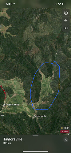
Basically Taylorsville area
Pretty decent precip coming down. I
Immediate structure threat at diamond mountain road and north arm Road at lights creek lane. Dozers are trying to get line around structures.
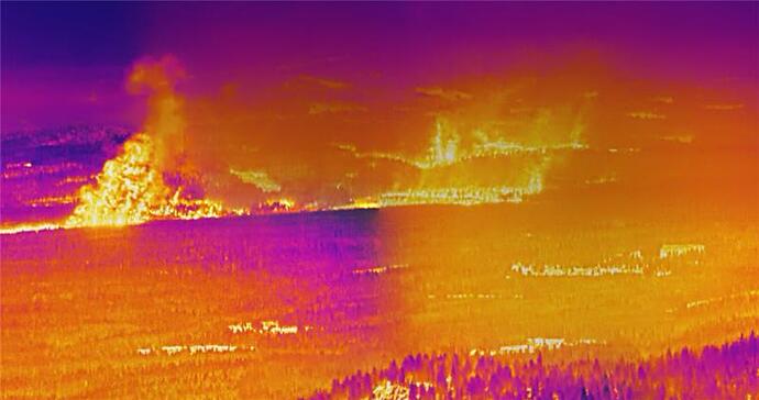
New IR data from 2:30 pm has been posted.
IR Data
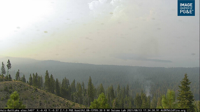
Spot, new start or lightning strike an the Butt Lake Cam
You can watch it build on the 1 hour time lapse. From about 1713 until now
http://www.alertwildfire.org/shastamodoc/index.html?camera=Axis-ButtLake&v=fd40731
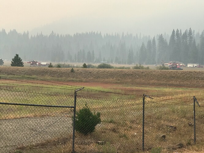
Multiple LE and OES rigs flying out of Quincy.
The fire has been creeping around in that area for 2 weeks.
Any structures being impacted ?
Mandatory for all of Genessee Valley just went out
Northern end of Indian valley.
A longer detailed explanation of the VIIRs and earth data satellites and how they process the detections can be found here by NASA :
https://earthdata.nasa.gov/faq/firms-faq#ed-user-guides
Keep seeing questions about this.
Meadow outside of mineral as of noon 8/13. anybody have info on the Morgan summit spot? I saw it kind of sitting there this morning but my info is likely delayed and the growth was curious once VIRS and MODIS were updated.
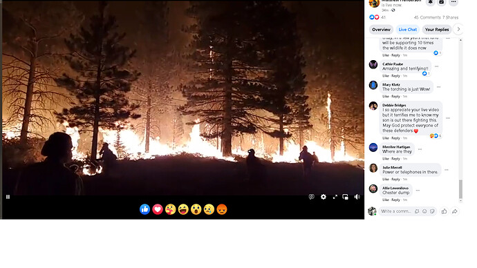
Facebook live facebook stream showing firing opperations north east of westwood transfer station
The fire near Morgan Summit is a separate start caused by lightning. It is not a spot from the Dixie.
Any word on containment? Is this a spot we need to worry about as far as mill creek or do we assume fixed wing handled the containment?
I apologize, I don’t know the technical term, would this (Morgan Summit) be considered part of a complex or a new start? or something else?
No apologies necessary. New start. There were 2 lightning caused fires in the Morgan Summit area. The LNF Almanor district is staffing the 2 fires with support from the Dixie Incident.
