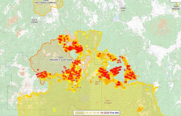
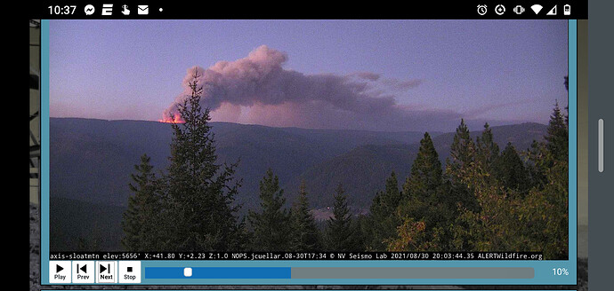
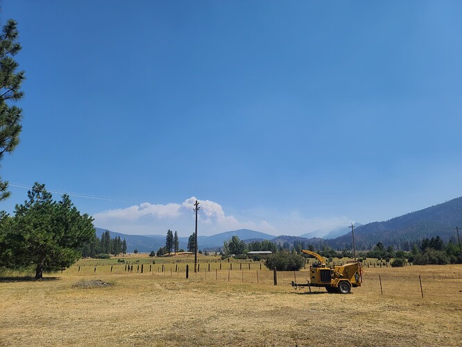
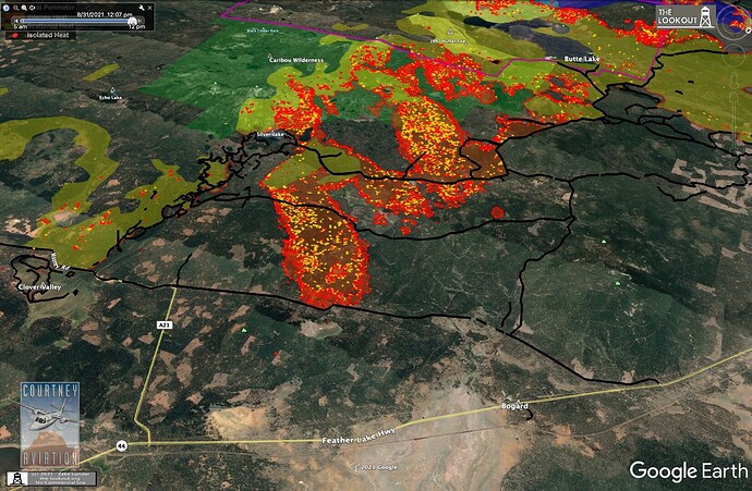
Satellit imagery seems to show they are holding their own up there…
Thanks for the updates. I worked up there many seasons ago and the kid is currently assigned to the Dixie.
Oh yes I am, because in September, Friday the 13th comes on a Monday.
KML files filtered from today’s data package:
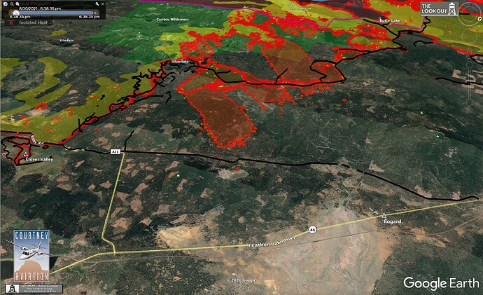
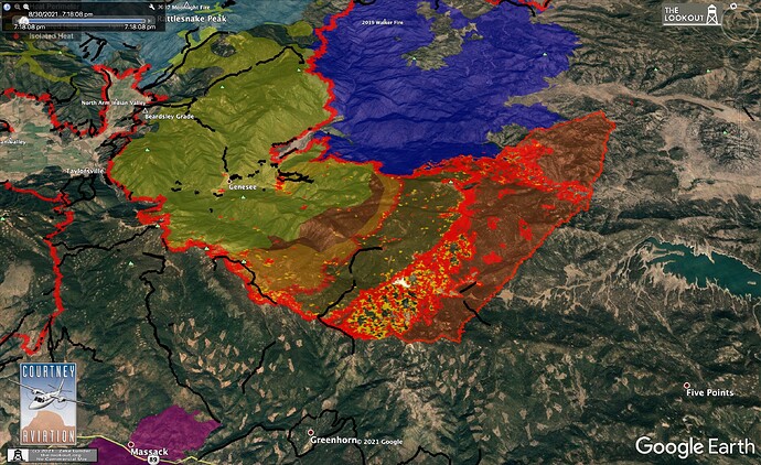
2 areas of major-growth on the Dixie Fire today.
4 miles of the 10 Road which were fired yesterday blew out north of Silver Lake near Bogard for about 3,500 acres of growth with prospects for much more. It looks like that firing intercepted a run that came in from farther from the west, but the line looks lost, so it may end up being a wash…
There was also major growth north of Greenhorn Ranch on Grizzly Ridge. This part of the fire ran 11 miles east, grew the fire 30,000 acres.
Looking for more first-hand intel on how these runs unfolded for reporting in The Lookout.
If you want to share any direct observations, stories, or photos, send me a PM or email zeke.lunder at gmail. All contacts will be kept confidential.
When I download the zip files and open them, I don’t see any kml or kmz files. Are you saying the dozer line kml’s should be in there?
I believe the Walker Mine is an EPA Superfund Site. With the fire actively burning in that area, does anyone have any thoughts on potential effects of a burn in there?
AA talking to ground resources about a lot of spots along the 44 corridor. Sounds like a few across 44.
any mention of the power line or fiber along hiway 44?
A lot of bomber activity working on the run the fire made to lake Davis a while ago. I think they must have been scooping water given how long they were able to stay in the area. Just saw what looked like a twin jet do a run E of the lake. Lots of fire trucks getting familiar with the area… good to see all the hard work going on.
Saw two Bridger Aerospace Super Scoopers working the Grizzly to Lake Davis area yesterday. Back and forth to Little Grass Valley Reservoir (checked on FlightRadar). Very impressive!
Edit: Ah I see what you mean. you downloaded the zip file from the FTP site. No there are not KML files in there. You have to process the data with another tool. I discuss it here:
Also, I have uploaded 083121 files since then:
Hey Zeke, Got any new IR for the Lake Davis area? Thanks…
Why are they trying to fire a North/south running line with a stiff west to southwest wind?
Thanks again…
I’m thinking it was more of a hail mary play the way that thing ran yesterday. But still, with the way the winds were, it probably would not have enough depth to stop anything anyway. Just looking at that little burn and having it spot over the hill proves that. Lookout Milford!!!
