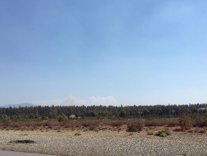
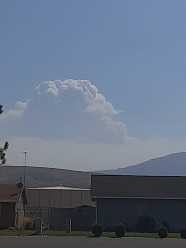
Two S-2s now flying on the fire west of the north end of A-21.
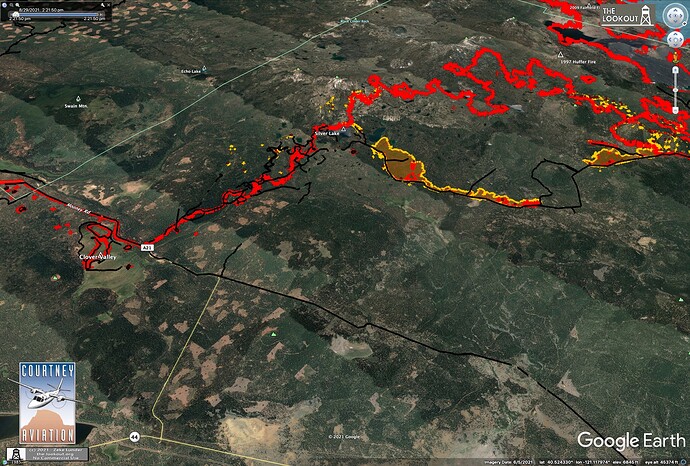
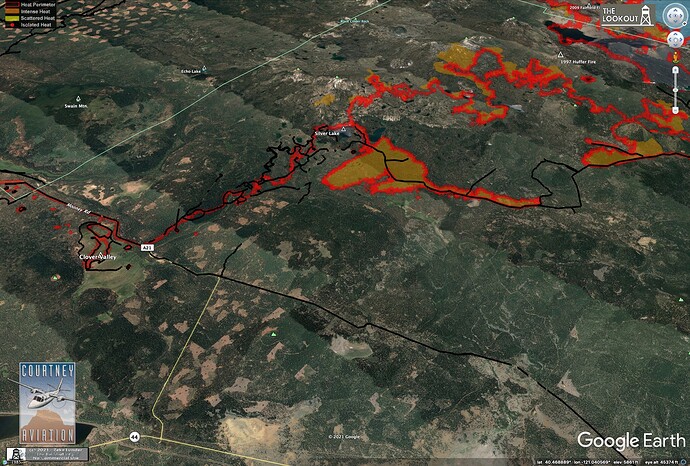
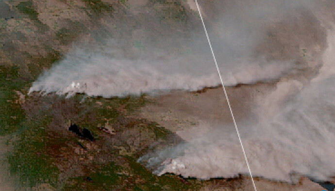
They lost control of a firing operation on the 10 Road north of Silver Lake yesterday. It grew 700 acres east by time of IR last night.
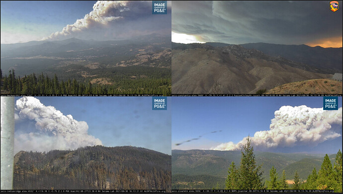
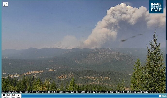
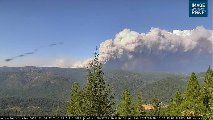
Sorry, the alert wildfire cam is Sloat Mountain Cam, looking at smoke plume that is behind Grizzly Ridge. The circles on the map lines are in the vicinity of Walker Mine and Beckwourth-Taylorsville Rd. In the IR, the “firing finger” on the left is their line along Grizzly Ridge. Greenhorn and Cromberg are off the bottom of the IR image. This is the most active part of the East side of the Dixie Fire.
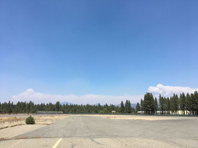
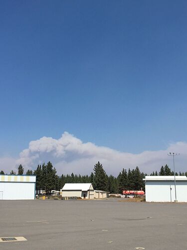
Three different plumes -
Due north (Mt. Harkness at left-of-center, S-2 coming in to land at right):
North-northeast (towards Caribou):
Southeast (towards Quincy/Portola/Beckwourth):
I understand that part but not sure what your circles are and what our triangulation is attempting? forward spread? And why the “gutsy” comment?
The circles were my attempt to pinpoint where the big smoke plumes were coming from between 11:30 and 12:30 when they sent out a widespread advisory evacuation warning and mandatory in the Lake Davis area. Just trying to figure out where the fire is most active, what its forward reach is, and how it is moving. Gutsy because the firing operation along Grizzly seems aggressive and fast. I get that they have to stay ahead of a very active fire, but it is not a strategy that puts me at ease. They have put more dozer line above Cromberg. And they are backing the ridge line with retardant. I thought the biggest threat to Greenhorn and Cromberg where going to be from the drainages above Greenhorn. But now it looks more like a risk from NNE.
Funny how that is…
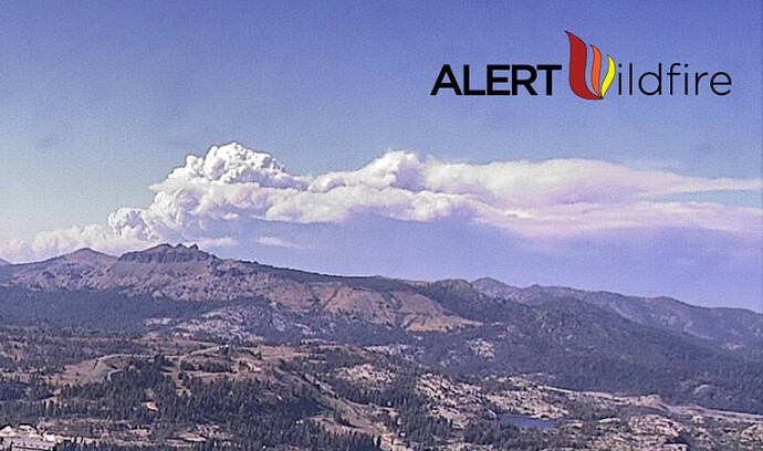
Last one (since it’s so quiet here) from Mt Lincoln. This one is a picture post card for the Alert Wildfire folks!
Just shows-to-go-ya that even the largest (single) Wildfire in CA history can fall out of favor when something more flashy comes along… Guess Ol’ Dixie just doesn’t generate the ‘likes’ she once did…
You mean like during the August lull?
Right… 
Please don’t even start up about September…
Just kinda’ glad it’s, at the moment, heading away from me…
lets hope they don’t keep showing off to get more likes…
 Ok everyone, back on topic please
So has or does it look like the north side is going to blown out to 44?
