The East Zone FBAN nailed it at briefing this morning.
They showed completed dozer line above Cromberg for two days before a dozer ever showed up.
I asked the PIO about the line above Chandler and they stated it was “proposed” even though on the map. It’s in now however…
I think they are still working on the line above Cromberg. I see MAFFS6 headed in on flightradar24 now.
SE? Is that Grizzly?
yes in that general area
Latest IR looks pretty good on Grizzly Ridge. Do you know NIROPS and Courtney flight registration numbers to track on FlightRadar?
N4717V, N501TC
I don’t see a data package posted in the folders last two days, dunno what’s up.
Everything seems to be changing with the new team…
IMT 1 now, right? Hmmm how to ask them… message on their YouTube channel? LOL
Please give the incoming team time square things out during the transition time.
Thanks for all your help! I have been pulling the Ops maps from the ftp server, but till I got the containment line file from you, I was tediously drawing lines in on Google Earth or screen prints of SARTopo.
Just got an evacuation warning for Nervino Airport sounds like this thing wants to to eat up the Beckworth.
Take the time to watch today’s, 8-30-21 Operational Briefing
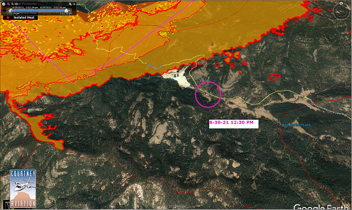
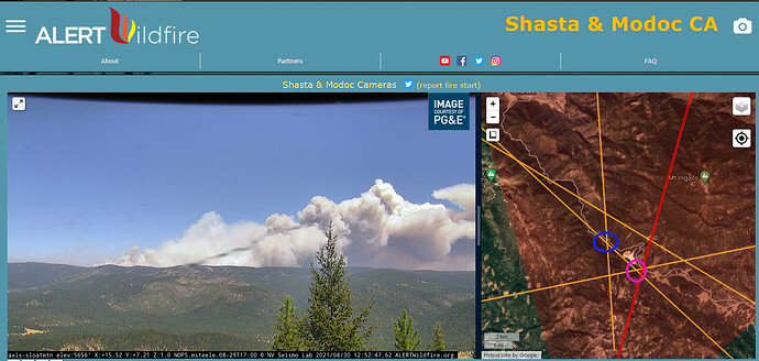
Yeah, looks like we got the “Operation Warp Speed” gutsiest of the gutsy team. Here are my attempts at triangulating. Pink circle 12:30 PM. Can anyone confirm???
What are you looking at here?


