Any chance of getting the latest dozer line kml? Are those available to the public somewhere, or special access only? Those files are super helpful! They save me a ton of time…and time is of the essence right now.
Cal Fire is still on the West Zone
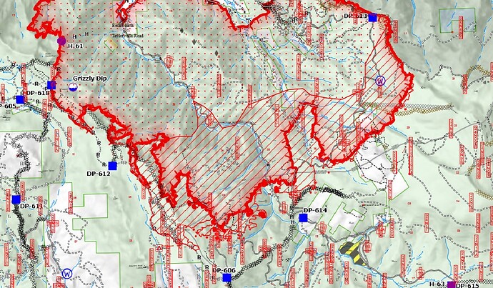
Any chance you could do a quick review of the mess they have on the Dixie along Grizzly Ridge. The IR a little hard to follow on their OPS map. Thanks.
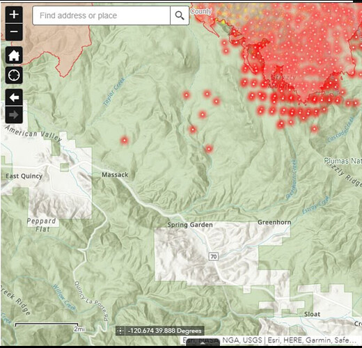
These new spots showing up this morning on satellite IR to the SW (Squirrel Creek drainage) look very worrisome for Quincy, Massack, Greenhorn, etc. Way over the primary line on Grizzly Ridge. Anyone have any intel on this? USFS update this morning didn’t mention it, but the detections aren’t linear, which would indicate them being incorrect… I have family in Massack and East Quincy.
Hi cjc
They are part of the data packages uploaded each day, I don’t see one for today yet.
https://ftp.wildfire.gov/public/incident_specific_data/calif_n/!CALFIRE/!2021_Incidents/CA-BTU-009205_Dixie/GIS/IncidentData/
Then Pyrogeography pointed me to QGIS which you can use to filter the data and get specific results and export to KML. They don’t have the file uploaded today yet. I wrote up a draft step by step example and posted it here:
Since then I have been playing with QGIS more, pretty cool app, I figured out how to add more maps from Google and Topo’s and VIIRS although that stopped working for some reason. If I could figure out how to add current and predicted wind data it would be a pretty comprehensive tool.
You can get briefing maps showing dozer lines like you see in morning briefing videos here:
https://ftp.wildfire.gov/public/incident_specific_data/calif_n/!CALFIRE/!2021_Incidents/CA-BTU-009205_Dixie/GIS/Products/20210829/
Not 100% sure how its coming down off the shoulders of W. Prospect - fast/slow etc. I just dont have accurate intel. Judging by MODIS pixels it appears to be moving “normally” given the slope & conditions. I do know that once it does come off and hits the “flats” its at the mercy of the wind and fires in that “flat country” are a watchout to say the least. It COULD slam the potato buttes and Old Station rather easily if winds allow…
In the Old Station Community Meeting yesterday they discuss it in detail starting at 9:55, go back a little to hear about work done inside Lassen Park:
@mountainman The satellite heat detection on south side of Grizzly Ridge are inaccurate.
Here is yesterday’s:
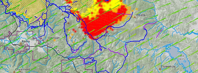
Crossing my fingers the dozer line (blue) can do some serious good on this finger. Purple were tagged as planned line.
Updates from the Lookout … Dixie Fire – Ongoing Updates – The Lookout
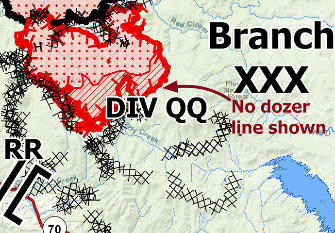
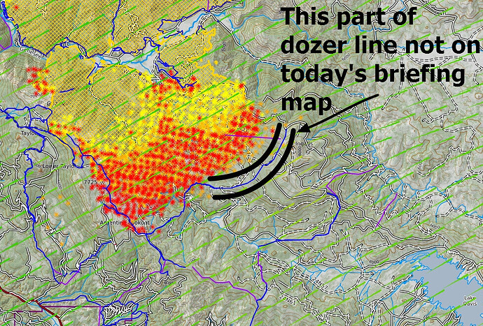
Interesting to find discrepancies in the available data. For example, this PDF from today’s briefing map does not show dozer line where the data package shows there is:
From yesterday’s data, showing completed dozer line:
There does seem to be some incongruity on their maps…
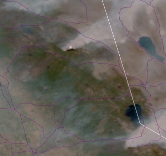
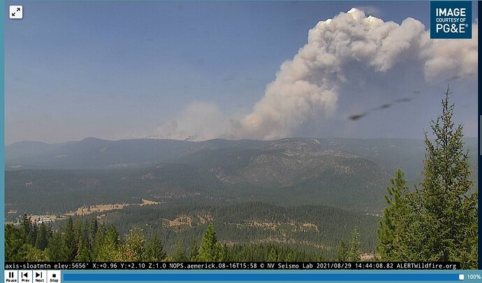
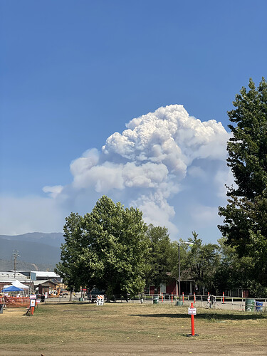
With the header showing on the satellite right now, locations of dozerlines aren’t our biggest issue - they might as well be ant trails.
Yep. I got that…
Looks like clear air down there at least…
Wind shift to WNW…
