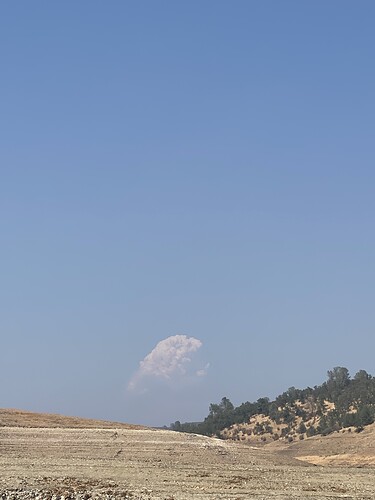
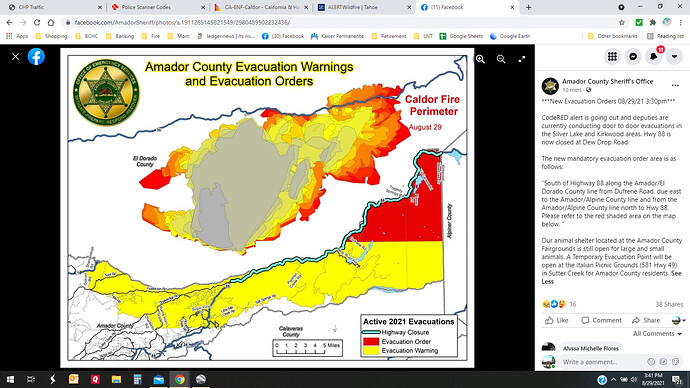
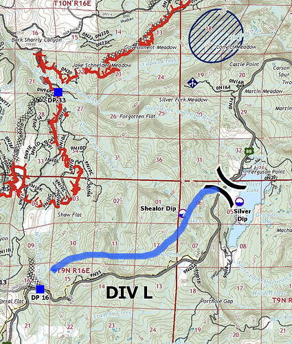
Columns moving towards each other on the leek springs camera.
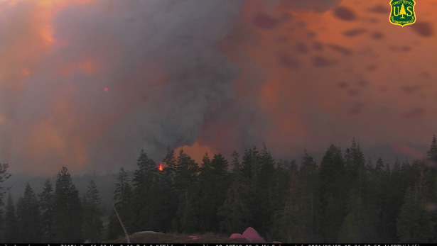
http://www.alertwildfire.org/tahoe/index.html?camera=Axis-Leek&v=fd40740
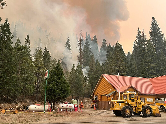
KCRA was live on Facebook showing a firing operation behind the building. Its probably viewable on their page
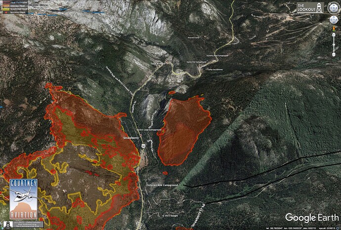
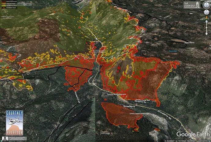
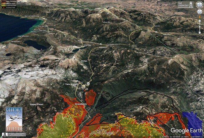
More maps on The Lookout.
I put up some detailed IR maps on The Lookout this morning: Dixie Fire – Ongoing Updates – The Lookout
VLATs assigned and sequencing Div N to reinforce dozer lines
DC-10 T911
DC-10 T912
DC-10 T914
BAE146 T15
Priority 1 - Div N - NE of DP12 to Leek Springs checking fire to stop East Spread
Priority 2 - Div N paint green side of dozer lines to Leek Springs
Priorty 3 - paint green side Leek Springs to Rd 9N30 to Mormon Emigrant Trail
Fire is burning very hot in Div N and L. VLATs requesting water drops to cool head before laying in retardant
4 Super scoopers 281, 282, 283, 284 working Div L Shaw Flat below 8,000 loading from Salt Springs Reservoir to slow and cool well established dozer line slop over
Pending assignment for request for fixed wing retardant in Div D
Fire has been guided around Strawberry. Sounds like fire has progressed all the way to the west bowl of Sierra at Tahoe. Structure prep being put into place on Tamarack Pines road.
Heavy smoke shows on Sierra at Tahoe Camera to the north side of camera. Orange and brown hue to air.
Significant PyroCb building. Closest to Branch 10. As it collapses winds will be significant and erratic and in all directions
Fire has spotted NE as far as Sec 33 JNO Ralston Peak (200mx200m) and progressed E to the NW1/4 of Sec 22 JWO Sierra Staging
That’s solidly into Desolation Wilderness.
Positioning equipment for planned burn show along 88 from DP16 East to Silver Lake. VLATs pretreated South side of 88 in this area. 88 is closed.
NEU just toned out an immediate need Type 3 strike team (did not get the numbers) to the Caldor!
Roseville PD just dispatched a LE team to Tahoe Basin.
Expecting mandatory evacs of Kirkwood shortly.
See picture above. It is mandatory now at Kirkwood as of 1530.

