Mod Note: This forum is for sharing information on specific fires. If you cannot follow the rules, you may be subject to suspension or removal.
Now back to the incident
Mod Note: This forum is for sharing information on specific fires. If you cannot follow the rules, you may be subject to suspension or removal.
Now back to the incident
Ah! I get it now. The ol’ Dixie there wanted to come full circle and get up into Dixie Valley and the Dixie Game preserve. Maye now she’ll be satisfied…
She sure took the long route. Must’ve had a special someone to visit in Indian Valley.
I have been thinking about this for the last week. I remember in the Sugar Fire reading about a really worried owner of property in Dixie Valley, and they just escaped the Sugar. Then 6 weeks later, a fire that started on the complete opposite end of the county (named the Dixie Fire for goodness sakes!) is coming for them again. Crazy stuff! Really hoping they are spared again.
Were you the one forecasting the Inside Slider a week ago?
Ahh. Found it. It was ANVILHEAD…
Is there a way to determine the flight path/area covered by a specific IR overflight? I am aspecifically looking for information on Warner Valley. I know there were some hot spots in the last few days that were enough to warrant helo drops, but I haven’t seen anything on the IR overflights, so I am wondering if they are just covering the perimeter of the fire with the overflights. (I did see the hotspots via MODIS & VIIRS data.)
Thanks
NIROPS uses a line scanner and if you see the products, it does scan the interior of the fire. They dont post their flight path.
Courtney Aviation when flying a NIROPS mission is doing the same.
It all depends on what the mission is, immediate SA on perimeter spread or do you want a multispectral mosaic of all the heat.
So sometimes they just produce a perimeter polygon or line file and sometimes you get that and points and other polys with heat attributes. Isolated heat, scattered heat etc.
Hope that helps. You can download the path of VIIRS and MODIS.
probability of burning into Beckwourth Complex???
There is a 2-4 acre fire on Humbug Summit Rd in the general area between Butte Meadows and Philbrook, outside of Dixie containment lines. It was reported earlier this evening and was being worked by aircraft in the area. Unsure if it is a Dixie spot or a separate incidental- it’s being called the Humbug Incident. I believe it is the same as the heat signature visible roughly below Snag Lake here (not seeing any IR update flights for today in the ftp folder):
Im not sure what I am seeing here, looks like multiple heads to the fire breaking over the ridge by milford
The left image is the fire cresting the ridge and the other is flanking fire beyond the ridge a little ways.
Dixie looking pretty active on GOES 17. RAMMB/CIRA SLIDER: Satellite Loop Interactive Data Explorer in Real-time with GOES-16 and Himawari-8 Satellite Imagery
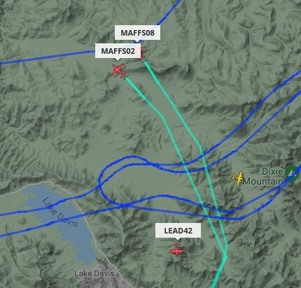
Lot of bombers were hitting it near lake Davis just north of Crocker mtn a few minutes ago.
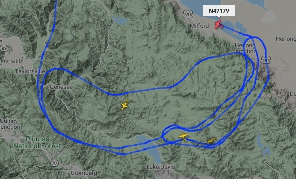
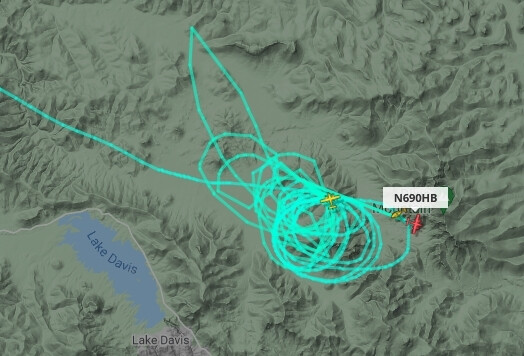
Looks like Courtney is doing an IR scan of that area, focus of AA seems to be along Horton Ridge, tankers flew right over it.


There’s also a pretty big head building up north of Lassen, getting near Old Station, and I’m not sure the A-21 arm is done. Totally normal fire, with three branches of intense activity spread forty miles apart after seven weeks.