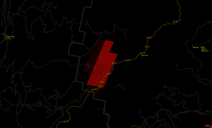
For those just waking up and pulling up VIIRS and IR perimeters. Here is the GOES 17 Fire Temp algorithm as of around 5:20 am. Looks be burning pretty hot all night. 24 hour burn periods in place. Prevailing southwest wind flow should dominate and be strong enough to overcome the typical Jarbo Gap wind effects the next 18-24 hours.
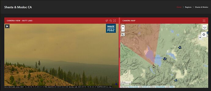
Looking at the Bald & Flea Mtn Camera loops. You can see the fire burning hot. The winds didn’t change direction from up canyon to down canyon till about 0430 on the 3hr loops
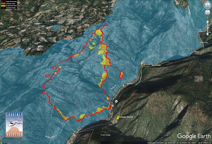
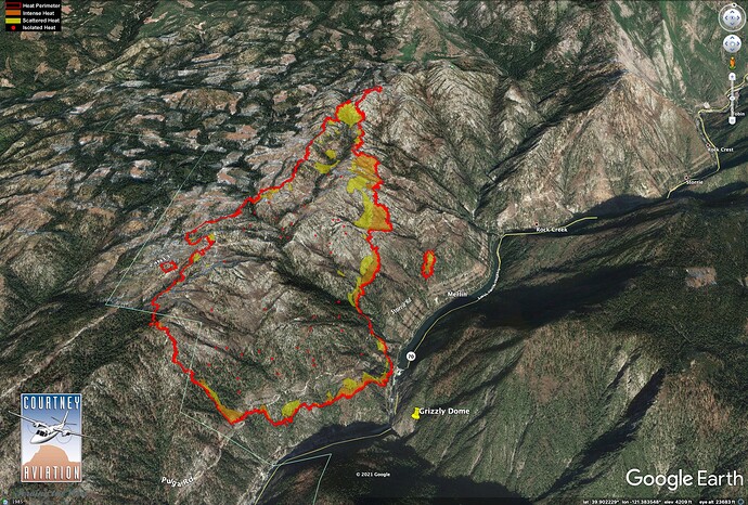
#DixieFire as mapped at 7pm, 7/14/2021. The fire burned yesterday within areas burned in 2008 (blue). Though the head of the fire was often smoked in, airtankers were able to drop dozens of loads of retardant on the left (west) flank. Data source: NIROPS/Courtney Aviation.
Nothing official here, but she seems to be getting her legs going just before noon. Nice column build right now.
It’s lighting up pretty good on the RAMMB SLIDER
http://www.alertwildfire.org/shastamodoc/index.html?camera=Axis-BaldMtnButte1&v=fd40729
Appears to have a spot out iff the shoulder…
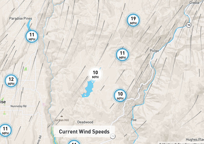
wind speed has picked up a bit . Paradise was socked in this morning with the down slope last night. Started clearing up and the Air Quality dropping back down about an hour ago
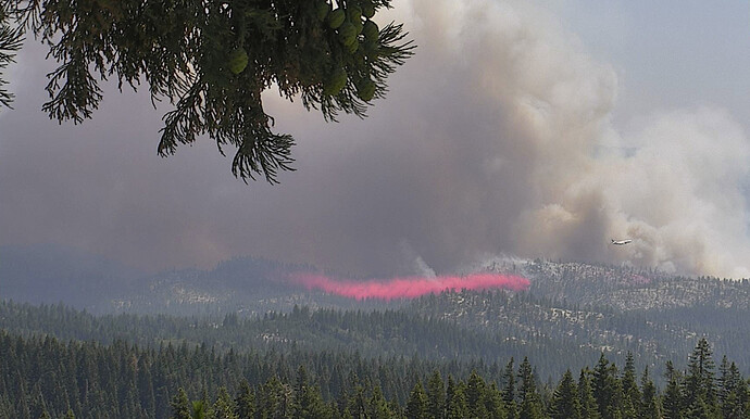
All tankers load and hold, per AA.
A Mandatory Evacuation Order has been issued for all of the High Lakes area due to the Dixie Fire. Additionally an Evacuation Warning has been issued for Rock Creek to Tobin (from the Plumas/Butte County line to the community of Tobin)
Yeah, all that smoke went somewhere else … we’re probably not going to see any flying out of Chester today (except for Air Attack 06, which left for Beckworth a little after 11 this morning, and is still up at the moment), unless the wind changes pretty dramatically. Reminds me a lot of last year, when we got socked in for two solid weeks without being able to fly.
HelCo reporting the fire is now well established in the Rock Creek drainage with significant high tension powerlines overhead.
Mapped at just under 5K, 4,967 acres. The fire is spotting 1/4 to 1/2 mile ahead. AA is going to try and get Tankers engaged again.
Tankers on hold again due to smoke. IC is trying to figure out how to protect the train trestle above the Feather River. Critical infrastructure. It was stated earlier that it was not threatened, but now it seems to be a big concern.
Our water tender just got called see you guys in the AM

