
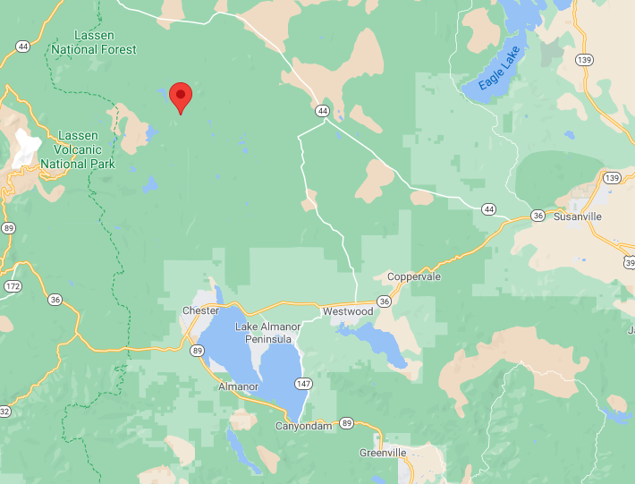
Would that be north of Chester?
1 Like
About 15 miles north of Chester.
thanks, just found it
1 Like
Mandatory Evacs Westwood, Pinetown, Clear creek south of 36 to moonlight ranch rd
1 Like
Guess the the Westwood camp is under evacuation. Stay safe folks
1 Like
North head- Spot fire to Butte Lake.
AA said “Possibly just the main fire at this point.”
East side, spot fire along Diamond Mountain road, near “Buffalo Ranch(?)”
That would be Lights Creek drainage north of Taylorsville.
1 Like

That’s a spot further north just closer to mountain Meadows reservoir.
3 Likes
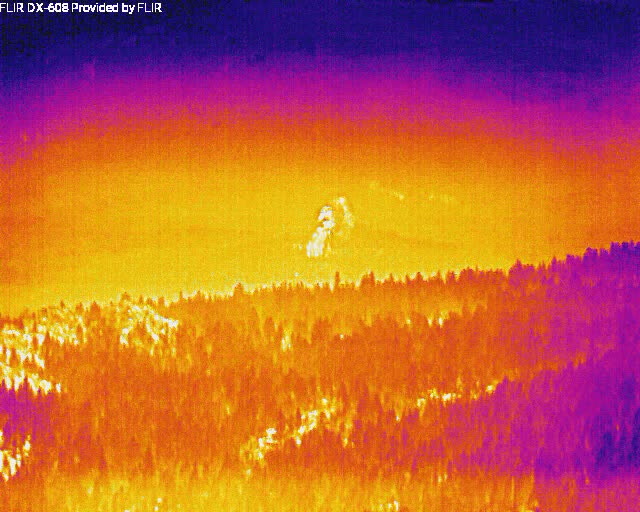
1740: N4717V mapping missing hopped on the radio giving intel on northern most point, he’s estimating Sections 26-25 just east of Snag Lake.
4 Likes
Courtney Aviation false-color LWIR imagery of Lake Almanor West from 7:25pm: CalTopo - Backcountry Mapping Evolved
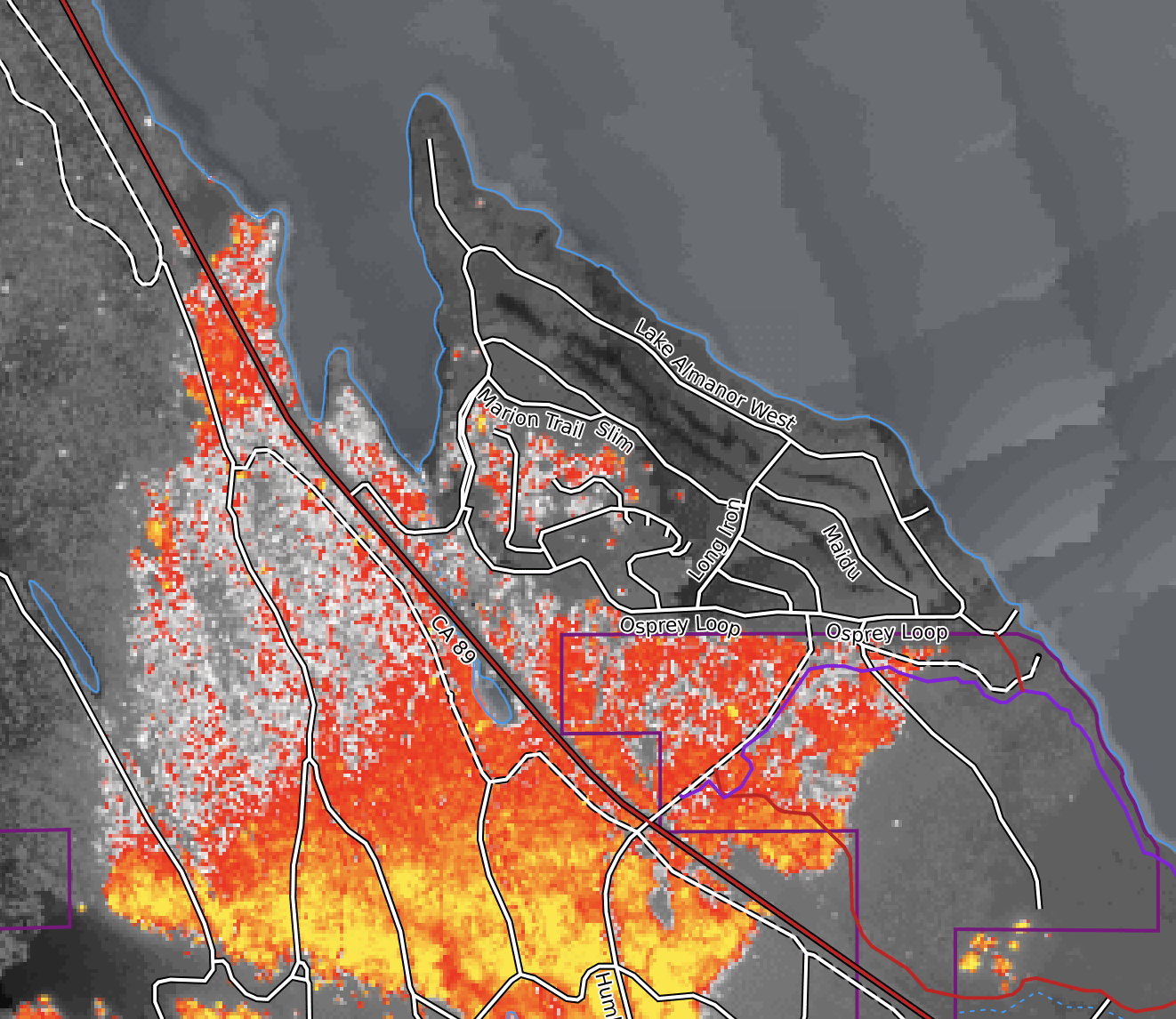
Edit to address questions that were PMd: They publish the image as a single channel (ie each pixel is a single value from 0-255), along with a table mapping those values to colors. The color table they provide is white → red → orange → yellow, but there is no index in the metadata to link a specific color to a specific temperature.
This is different than most other false-color imagery you’ll see, which is developed using different wavelengths for the red, green and blue bands. For example, typical non-fire false color IR imagery that you’d use to assess vegetation is built by using near infrared for the red band, red for the green band, and green for the blue band. This accentuates the difference between near-IR and red; a near-IR image by itself looks just like a standard black-and-white photograph.
The colors are entirely arbitrary, moreso than a traditional false-color image.
As of writing this, all of the LWIR images appear to have been removed from ftp.wildfire.gov, with only perimeters left in the folder.
5 Likes
Lassen National Park Closed:
Entire Park Closed Due to Dixie Fire
[Alert 1 , Severity ,closure ,Entire Park Closed Due to Dixie Fire](javascript:;)All of Lassen Volcanic National Park is closed to all access due to the Dixie Fire.
more
Visitor Center webcam is still up as of 1940, NOT ACTIVE ANY LONGER-LAST PICTURE
https://www.nps.gov/media/webcam/view.htm?id=81B46270-1DD8-B71B-0BE9D202820A8990
Had some nice camping trips around Juniper lake. Fire has stayed out of another favorite area,
Warners valley and Drakes Bad Ranch, so far. Mud pots and hot springs.
2 Likes
432,813 acres and 35% contained.
3 Likes
FIRIS Intel-12 has been up mapping. The KML network is live as they upload
4 Likes
446,723 acres
21% containment
As of the 0700 operational brief
5 Likes