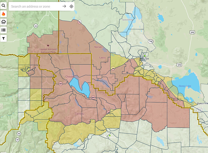
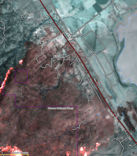
Evacuations are expanding at a fast and furious pace. Two new Lassen County mandatory evac orders and one new warning in the last hour. Latest ZoneHaven map below:
Yellow color is evacuation warning & the red color is evacuation order.
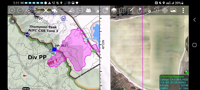
Couple of SEATs out of Stead-Reno now on that Janesville spot fire. Working with AA06, who I believe those two seats have worked with before (the numbers look familiar).
AA06 is based at Stead as are those SEATS 
Here we go again, hopefully everyone gets out safe and the troops can protect Janesville. Got to keep faith.
http://www.alertwildfire.org/shastamodoc/index.html?camera=Axis-ShafferMtn&v=fd40730
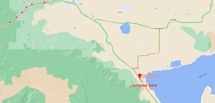
fire has crossed 395 at (hicks rd?). fire about to impact ponderosa blvd also
DATA PACKAGE IS POSTED FOR THE DIXIE - MAPS.TAKSERVER.US
NO NEW IR DATA.
PLEASE BE SAFE TODAY FOLKS.
Dixie Fire - 8/17/2021 Update
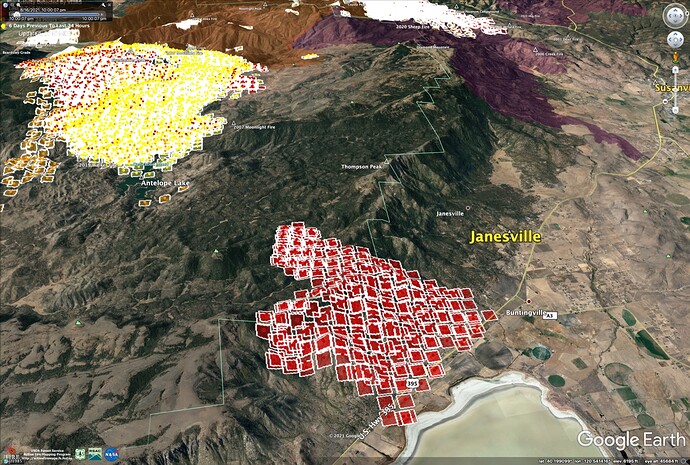
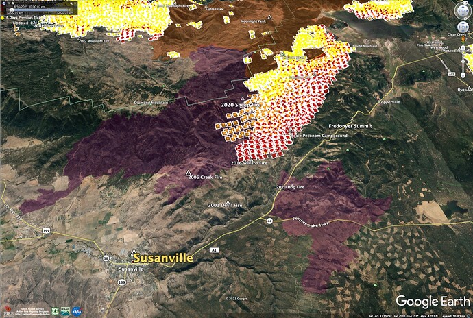
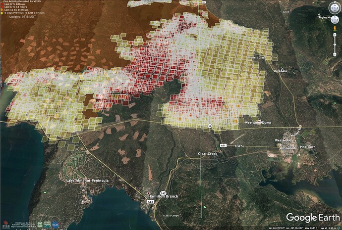
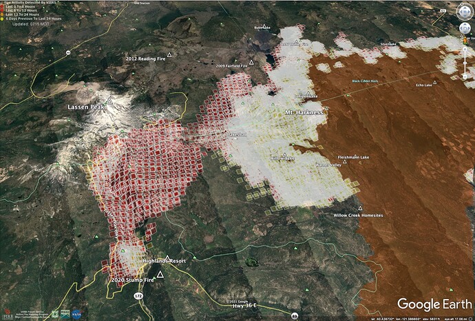
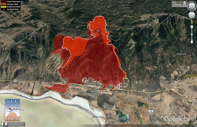
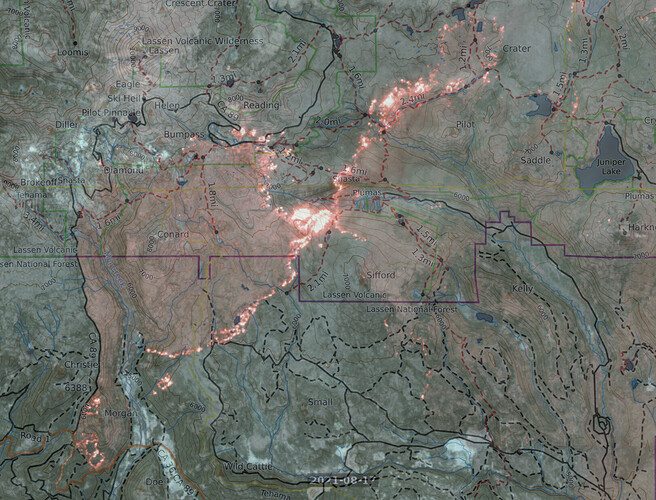
The fires on Morgan Summit grew to 10,000 acres yesterday, and are joining with Dixie. Fire spread over the escarpment into Janesville and toward Susanville. No fire in Westwood, Clear Creek, Peninsula, or Hamilton Branch, yet. Chester and West Shore still safe.
Satellite heat maps from 2 am, 8/17/2021.
More maps and commentary on The Lookout.
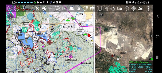
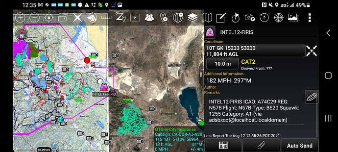
Drone Flight? Nothing showing on Flightradar.
Found it, N57B, Beech C-12 Huron.
Some changes have been made to the Broadcastify feeds covering the incident.
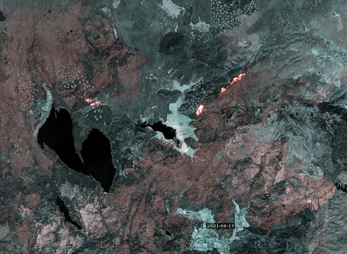
False-color long-wave IR images from the Sentinel satellite pass at noon today - Lassen, Almanor and across from the 395 rest area. https://caltopo.com/map.html#ll=40.30607,-121.01672&z=11&b=mbt&o=sentinel_burn-0&n=1
635,728 acres and 33% contained.

