I can’t seem to find the link
New start south of park fire
13 posts above this one.
thread for it: CA-BTU-Clark 2024??? - California & Hawaii Hotlist / Questions and Discussion - Wildfire Intel
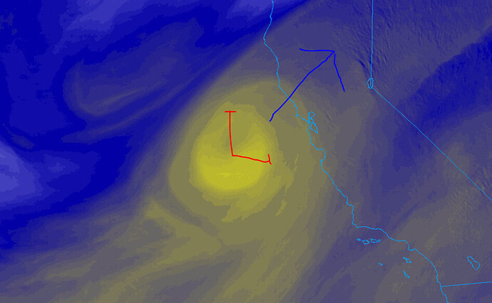
Weather on Tehama Zone
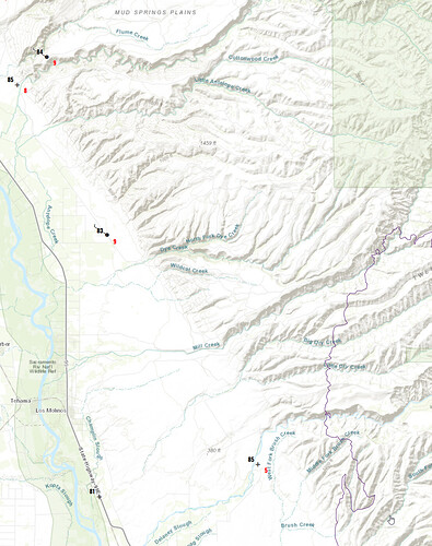
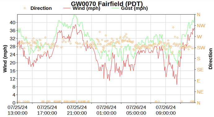
The 3 stations to keep an eye on today for the wind event up the valley, from south to north, and already starting to show a slight SSW influence at 10am:
Branch 10 - DIV E and H
- PGE Reed Orchid Road - mouth of Deer Creek Canyon at base of foothills
- PGE Conrad Lane - mouth of Dye Creek Canyon, north of Mill Creek Canyon. At base of foothills.
- PGE Red Bluff Powerhouse - the top of Hogsback Rd just above Red Bluff. This will give good indication of what the winds are doing at elevation above the canyons and influence across the top once this progresses north. Hogsback Road is one of the primary control objectives before Hwy 36. Will like be a large iron show.
Branch 15 deeper east in the foothills:
- RAWS LNF Portable - located at the eastern end of Hogsback Road, due north of fire.
- RAWS Panther Springs - located in Bucks Flat, DIV J area.
Purple line showing recent fire perimeter with Branch 10 stations
Already running up the east side of Chico Creek Canyon towards 32 per the Platte Mtn. Cam.
Head on a swivel folks
And more coming from SoCal. Looking at how resources are being filled down here it is starting to look similar to what happened during the Caldor with smaller mixed TF’s instead of legit complete STEN’s, whether Type 1 or 3.
I think ventura county was sending some crews, they stopped in friant yesterday.
Still waiting on word for some San Bernardino county ST/TF to get sent. They may be holding on to some.
San Diego hasn’t sent any either it appears. Couple from MVU potentially. Does not appear any local however. Anyone from LA or VNT know of anyone going?
VNC has sent a Alpha S/T, Golf S/T and a Lima S/T
OES S/Ts from XSD assigned to the Gold demobing and going to the Park
As far as I know an A, C and a TF
TF from region 2 got punched out at 0800
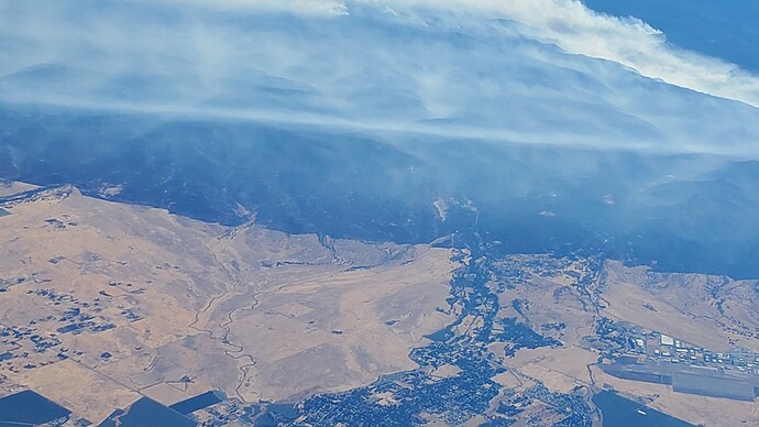
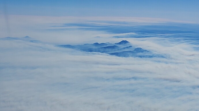
Approx 0915 this morning from 20,000 Feet
The last pic is looking north of the fire… Reminded me more of Bay Area fog…
I totally agree with you sir, you stay safe as well
The air show is pretreating Platte Mtn now.

