Sorry I’ m late but I want to see those Screen Grabs. After 38 years on the ground with crews I can in vision much more through them and don’t have the time (or ability, I’m old) to find them when they do.
18 Likes
some of the heavily-thinned fuel break areas barely carried ground fire at all
The IR perimeters were showing an island of green in there for days after the lighting operation. I kept hoping to wake up and find they had blackened it all overnight - finally seems to have filled in.
2 Likes
Watch Duty is reporting that evacuations in Butte Meadows, Jonesville and Inskip have been downgraded to warnings.
2 Likes
4 Likes
So currently at 401,199 its 4th thats. freaking nuts.
4 Likes
It’s doesn’t appear there is any incoming weather that could cause drastic increases in fire growth? There minimal smoke on cameras and it appears to be fairly clear this afternoon. Yesterday was chugging but today seems much different.
Any opinions or thoughts? I imagine it’ll continue to creep up Mill Creek but it doesn’t seem like it’ll really test there containment lines unless Mill Creek really blows up one day? Thoughts?
3 Likes
Tonight’s Lookout Livestream looks at the fire effects of the Park Fire on forested lands. We check out a progression map and satellite imagery of the fire’s burn patterns captured on 8/1/2024. https://youtube.com/live/wX08LKeRPUY
12 Likes
I think page 16, 17 and 18 of todays IAP outlines what’s in store for Branch 18.
1 Like
For some reason, IAPs are not being entered into the NIFC FTP site.
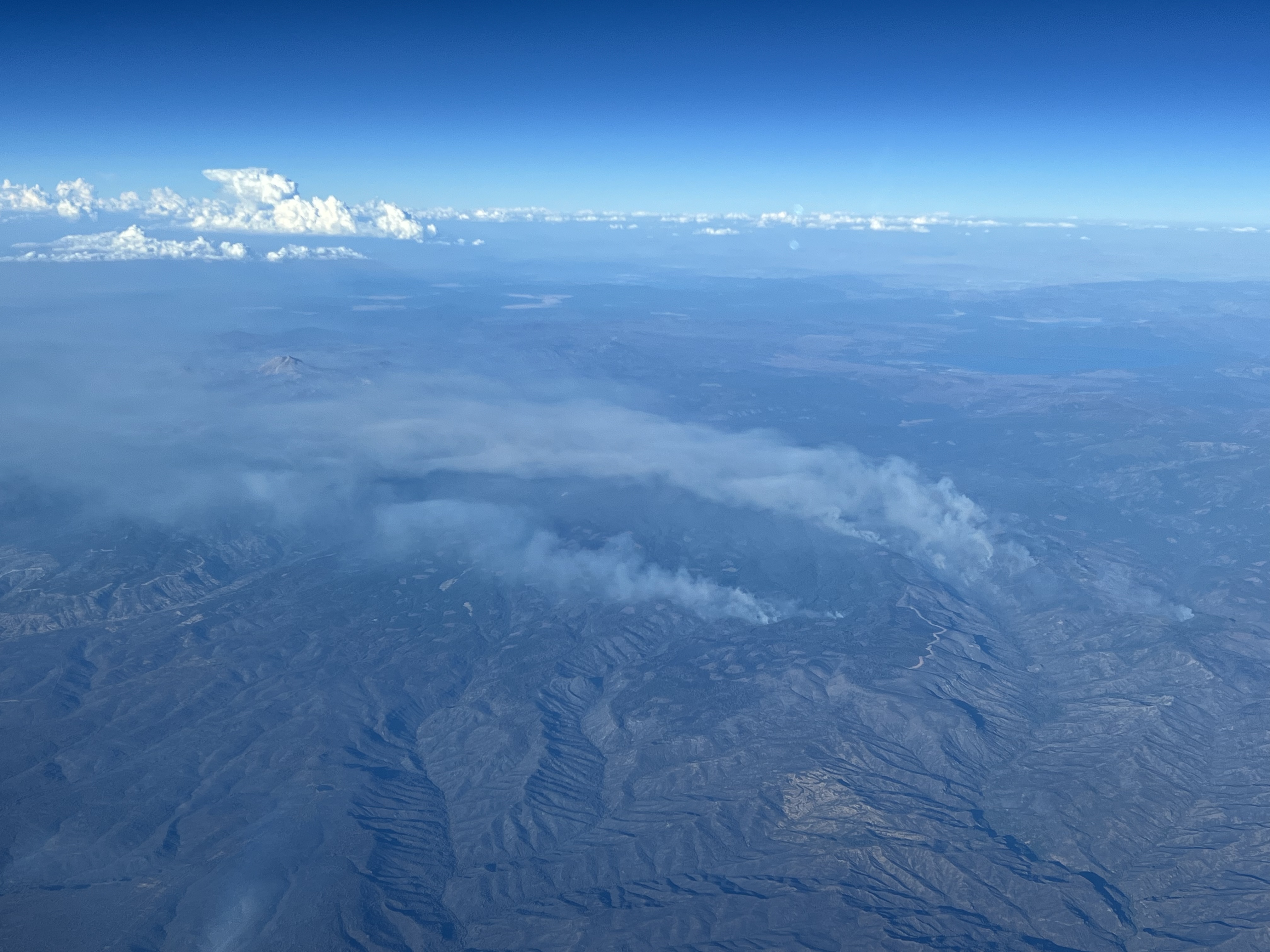
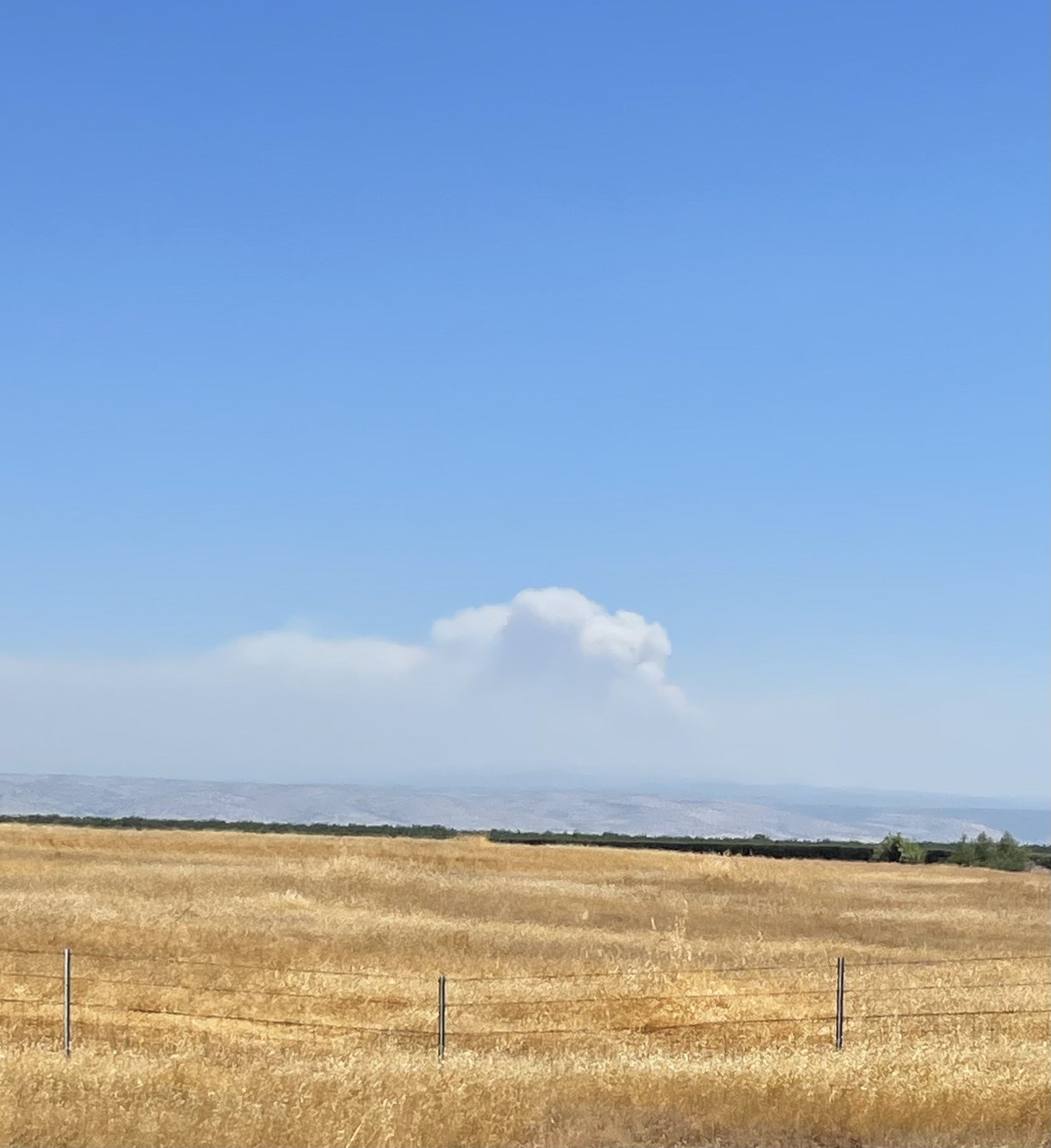
Looks like a good amount of smoke production today. Lots of spots popping up on cameras. Anyone on this incident?
1 Like
Yeah there’s new spot fire happening. Out of our division to hit it though
1 Like
Where division?
Don’t remember, in Branch 15
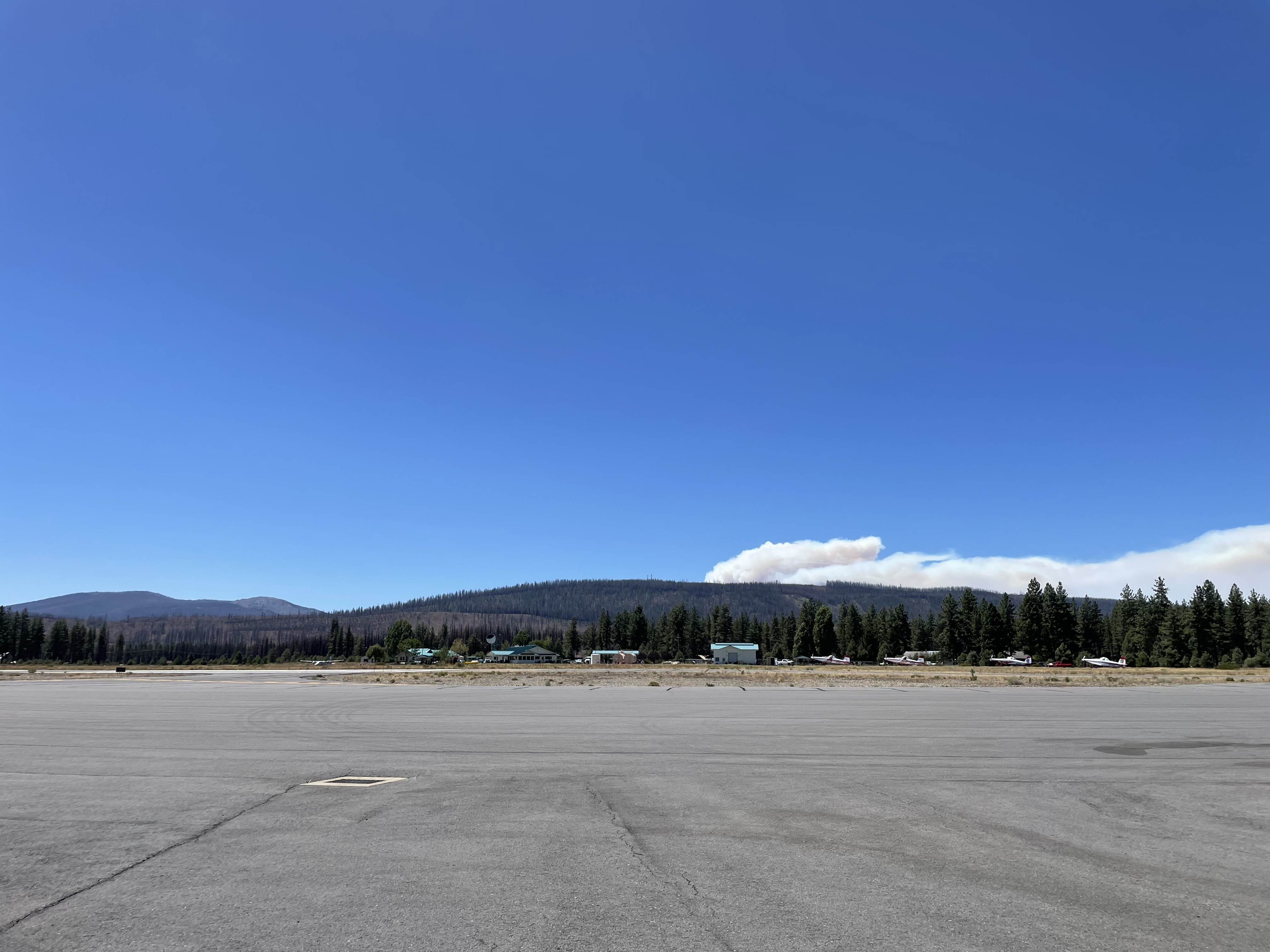
Just spent the evening at Windy Cut. The Deer Creek portion of the fire was pretty quiet. The big smoke production looked like it was all over in Mill Creek, from where we sat.
9 Likes
4 Likes
pulling resources out in TW and TU. headed to TRA
8 Likes