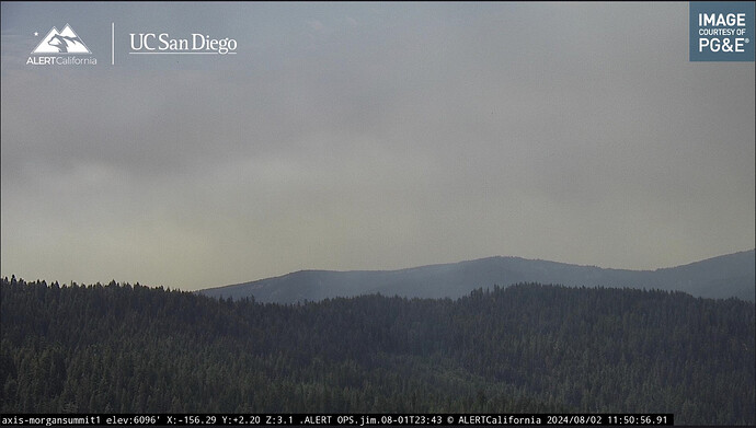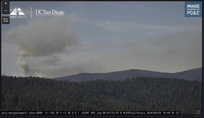
Looks like wind and slope have briefly aligned in the Panther Creek watershed. Cams showing part of the fire going on an uphill jog in that area.
Won’t see anymore from me.
That last one was pretty good.
Two-hour timelapse says smoke. ALERTCalifornia - Morgan Summit
How’re you guys finding these cameras? For those not assigned to the incident, I really appreciate coming to this thread and seeing the screen shots of what the cameras are showing. Keep them coming!
several places, wildfire camera feeds are found:
- https://ops.alertcalifornia.org/
- https://alertwest.live/
- https://app.watchduty.org/ - they’re incorporated into Watch Duty’s map view
There’s other places too, but those are most of em
Tanker 914 (VLAT) northbound over the heel of the fire. ATGS requested it to start a retardant operation from Mill Creek rim to Deer Creek. (also requested 2 T-1’s and 2 T-3’ tankers, but they are not showing yet on radar.)
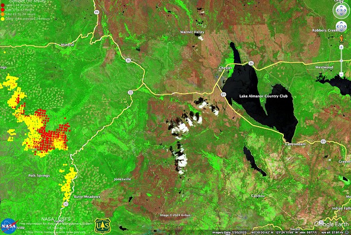
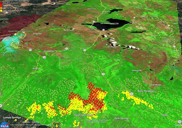
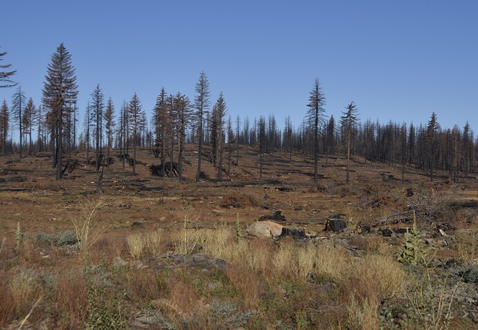
Here are a couple infrared vegetation images showing the high severity areas of Dixie Fire (red) and salvage logged areas around Chester post-Dixie that will protect Chester/Almanor from this fire if it gets that far.
The salvage areas are very cleaned-up.
thank you for update shot,
Good Evening. Any updates on the fire activity after the thunder cell went through?
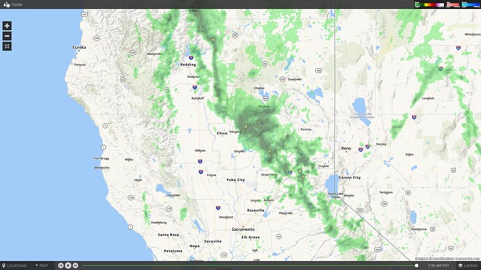
I see no thunder or cells… the radar is deceptive in times like this, with very dry air below 10,000 feet. Practically nothing is reaching the surface. Also no lightning flashes detected from goes satellite that I can tell.
Thank you. I didn’t think there would be any rain but I thought the unstable atmosphere might affect the fire at the head.
we have had zero weather today on this fire. closest lightning strike over 100 miles away. zero precip.
Got three drops yesterday in GR-002. Hoping for more today. Let’s clear this air.
We got some wetting rain on our way out this morning from Division Hotel.
