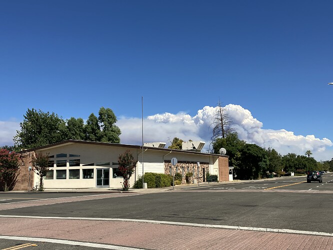
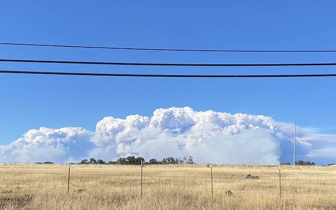
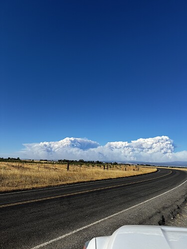
Fire Behavior reporting a rotational column detected in the area of Campbellville, which is exactly what I believe @imetfromhotlist was stating would happen around this time
winds are out of the southwest 12mph . Evacuation “get set” just extended into Shasta County for zones 5000, 5010, 5020, 5030, 5040, 5050, 5060, 5070-A Highway 44 corridor.
this scanner feed is focused on the park incident now
AA210 talking to Helco said he was going to look at where the northern boundary of fire is. “I have a feeling this thing is going to go to Lassen Park”
He made 1 lap well north of 36, I’m guessing they’re anticipating it hitting 36 relatively soon
based on the view from tuscan butte and satellite data its close to or at antelope creek
https://ops.alertcalifornia.org/cam-console/2462
Anyone know what’s on the Deer Creek cam? New start?
Whatever it was looks like they squashed it quick thankfully!
Link to Shasta Cnty S.O. fb page with their evac info…
https://www.facebook.com/photo/?fbid=872435068247497&set=a.229723459185331
vlat 912 diverted to SCU creek.
there appears to be a spot fire east of 32 and south of lomo
AA will get 1 more drop outta 912 as the Creek Fire does not have an ASM at the moment
They are pounding it with retardant, still trying to get ground access to it per AA
The Sat heat signature loop is moving at a jarring rate across the landscape. Has anyone seen it move so fast before?
The area covered by evacuation warnings and orders is becoming massive, stretching across four counties. Butte County:
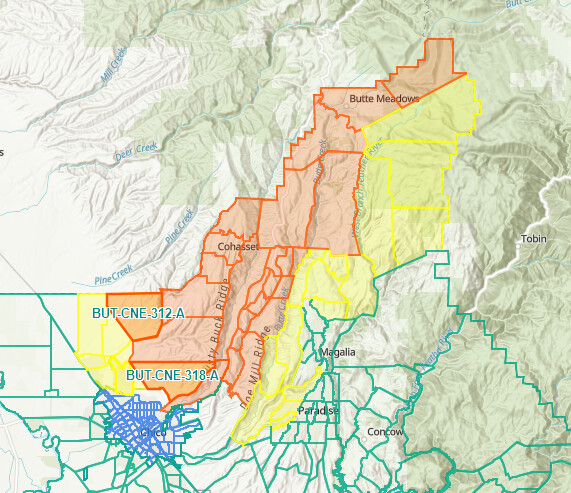
Tehema, Shasta and now Plumas County:
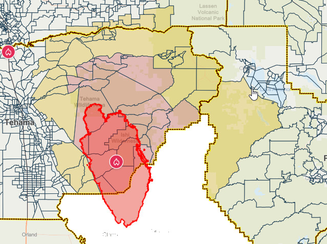
Looks like one awfully big box.
If it burns out to the Dixie scar, and gets east to Bear/Camp, it’s 650,000 acres. It looks like it wants to endrun Dixie to the west, though.
I have been wondering when the 1992 Fountain Fire will reburn, on Highway 299, but I never imagined a scenario where that fire might start in Bidwell Park!
