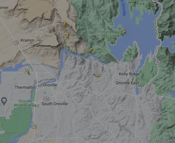
Wind has shifted and fire is becoming more active
I would not be posting any specifics on the accident folks. Let any details come from CF or the Unit. A lot of people read this site including family of those on the incident. Just wise to let any notifications come from CF etc .
Fire activity looks like it slowing down. Did it run out of fuel or wind shift? Hard to tell
Does anyone have a link for the IAP for today? On our way from la county
Updated acreage?
Action News reported 3568 acres but I’ve only seen that number posted by them.
All: Please refrain from speaking off topic and stay the course. Although the news media posted the accident, let’s allow the local unit and/or IMT to release any further information.
Thank you,
Mod-FJ
3,568 acres.
It looks like they have released the fixed wing . Watched them fly back to their bases Copters working the area

They put this one to bed today real quick 

Per Yubanet
Edited to remove evac areas
- Incident Name: Thompson, Oroville
- State: CA
- Lead Agency: BTU
- Size (acres): 3,568
- Percent Contained: 7%
- Estimate of Containment: July 15, 2024
- Personnel: 1,962
- Structures Destroyed: 4
July 4, 2024 at 7:16 AM
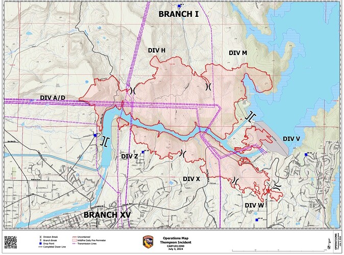
Control Objectives
Keep the fire North of Hwy 162
Keep the fire South of Red Tape Rd
Keep the fire East of Table Mountain and Haul Rd
Keep the fire West of Hwy 162 and Loafer Creek RdPlease go to the AHJ for current evacuation information. The Yubanet information cited appears to be quite old. Several zones are now reduced to Warning.
Butte County is prompt updating this important information online.
Authoritative data for evacs for Butte County.
Lots of resources staged at Thompson Camp out of Chico per buddies that are there. Supposedly staged for any IA to the area? He said mostly all OES staged.
The Thompson is looking pretty dead on the “dam cam”.

