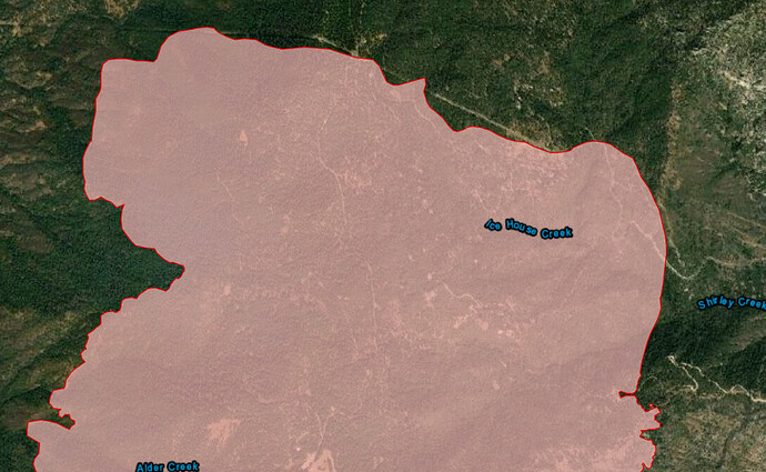
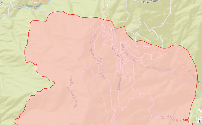
PIO map from the IMT Experience
Used to be some really good roads to the south of the fire from Rancheria down to the river. But the smart people that love trees got them closed. But it’s good dozer country that far south with lots of grass in a normal year. Probably not much there this year.
AA 4 lats and a couple helicopters are trying to keep it out of Alta Sierra and Shirley meadows.
Heard AA before cut off about sure to get some clean air Sunday due to weather, in fact it’s looking pretty good now. High confidence is what I gather from that conversation about getting a air tanker show Sunday.
I will admit the wind pattern we are seeing, or the pattern I haven’t seen, is somewhat odd in my book. The winds tend to blow down slope with quite regularity each afternoon, and typically drive the fires to the Lake edge. Other than the first day or so I really haven’t seen it like I would expect. Having that much fire that high on Greenhorn Summit with Shirley and Ice House Creek right there, leaves me with an uncomfortable feeling. For me, with my experience there, it is a matter of when and not if. I hope folks keep that in the back of their minds - just in case the typical returns.
I remember arriving the 2nd day of the Stormy fire right after the camp burn over and seeing the fire burn down hill. I grabbed a few pictures of it and our Strike Team from CNF looked at each other and shrugged. Went against everything we had been taught. But then again while driving up the canyon at 4 AM, I thought trees were jumping out at me, trying to attack me.
The Kern Canyon. Most will need to use it to get to the fire. Be aggressively defensive. You will be greeted by a yellow sign that says “trucks over 30 feet rear wheels to kingpin not advised,” a baseball type sign that provides weekly updates to the number who have died in the Kern River, the first of many “S” turns, and a sheer granite wall on one side and a drop to the river on the other. It is not fire engine or crew buggy friendly. Two trucks can’t pass each other in many spots. Boulders hang over to remove your vehicle mirrors, and it was often listed as an “unavoidable” accident on the report for our department if you hit the wall trying to not hit something else or go over the side. Dozers? Pilot car, patience, and nerves of steel. Be safe!
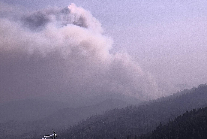
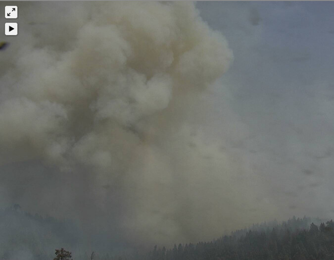
French fire showing large column growth; look at 1 hr playback:
http://beta.alertwildfire.org/region/sierra/?camera=Axis-BreckenridgePeak1
How often does caltopo update?
Every 4-5 hours I think.
The data for Caltop is arriving every 3 hours but the process that creates the maps is another 1-2 hours for a total of Yes. 4-5 hours.
Really want to read in depth from NASA, whom process this data:
https://earthdata.nasa.gov/faq/firms-faq#ed-user-guides
Here is another NASA product. ( it doesn’t have the same quality of location data I like of caltopo) or I am I missing a layer for more ground landmarks?
I think you can see from the map that there is only a thin line of a “better” direction for the fire to go. The other options, northwest, northeast, or east are not what anyone wants to see. The wind overlays can be deceiving because they are dependent on how AGL they reflect or correspond.
Bravo55 is Lead and AA is up over the fire.
Tankers are inbound 163, 02, 164
I didn’t hear and can’t hear the command repeater (too low elevation) to catch the aircraft order.
Tactics traffic is too low an elevation except for the AA to hear.
Looks like tanker 910 is enroute as well. Currently over the canyon.
S/T9341C enroute from SLU
AA , Lead and branch agreed that air is too poor for fixed wing. About 2 hrs ago.
Retardant line along hwy 155 will be built with copters. Eight of them on the round robin now for 2+ hours.
Possible not all the copters will be used for the hwy155 strategy.
SNF sending 1 type 3 engine code 3 to fire too. Something is concerning them…maybe fire expected to push the 155 line??
I heard yesterday the request for aerial ignition system.
Quite a bit of radio activity on the Walkers with aircraft use as well and 2 spots they are dealing with.
Can someone post today’s IAP?


