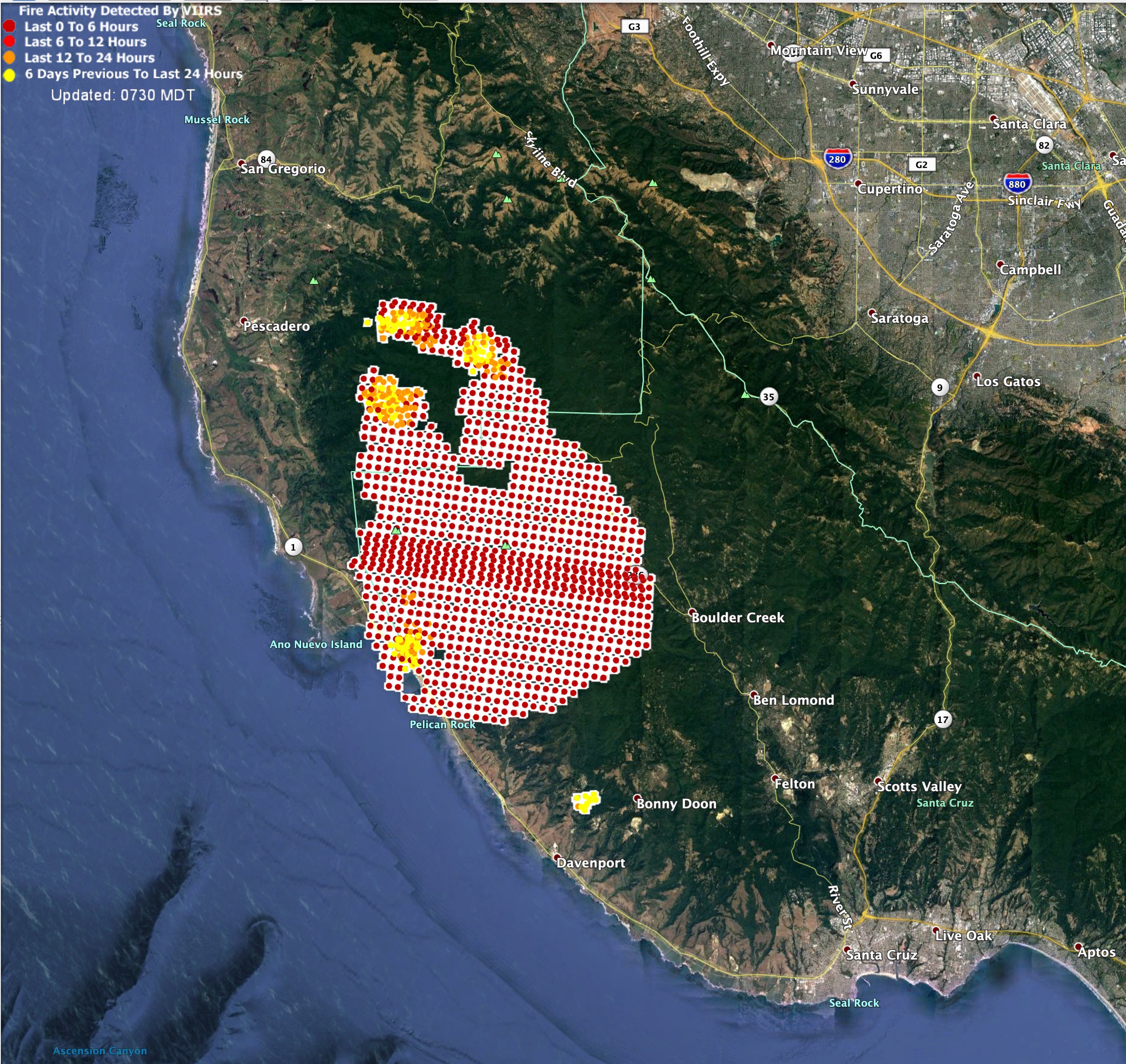
VIIRs from 2am, 8/19/2020.

Has a location for ICP been determined
Skypark in Scotts Valley
Out of all the clusters, this one scares me the most. Thousands of remote structures and many communities in those mountains with narrow roads. A true design for major destruction. Being able to stop a moving fire in that fuel is almost impossible. I remember them saying they had fuel brakes six blades wide on the Austrian Gulch Fire and rats and varmints would dash across while being on fire. The only break is Hwy 17 from Los Gatos to Santa Cruz. Lots of tall stands of Redwoods.
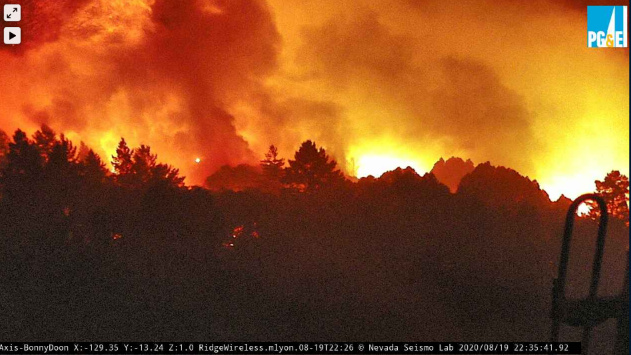
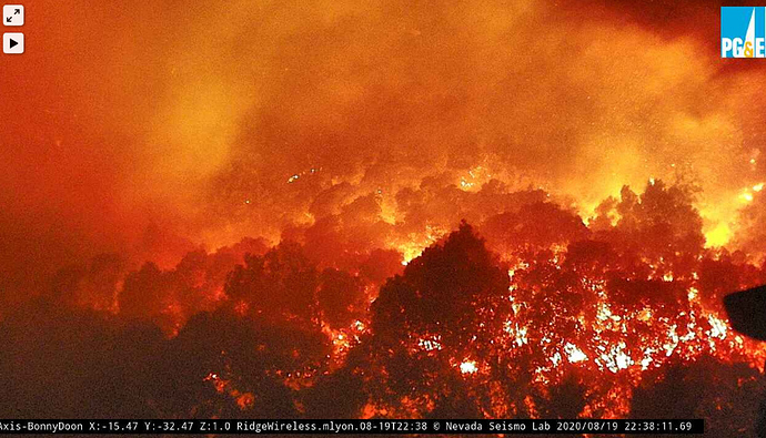
Hearing rumors of multiple structures lost in the Boulder Creek/Bonny Doon areas. Anyone able to corroborate this or an updated map from thus morning?
My wife has a home up there and has talked to locals who confirm lost homes in Bonny Doon. I have not seen “official” losses but between those reports and scanner traffic I think its a given
Something just cooked off…
http://www.alertwildfire.org/southeastbay/index.html?camera=Axis-BlackMtSCC&v=81e004f
Saw on the weatherwest weather blog either a new fire or a spot well ahead of the fire…showing on MODIS
Those people just watched their house burn down on live tv  pretty much sums up 2020
Does anyone have the IAP for the incident? Or the command/tac/air frequencies for monitoring the activity in the Boulder Creek/Felton/Ben Lomond area? I’m over on Summit trying to keep an eye on it for me and my family. Thanks.
I know the command is Command 2 151.265…Not sure of the rest of the freqencies
All the way down to the Ocean already.
Thank you. That helps.
Thank you. Much appreciated.
Is there a scanner feed for the fire in bonny dune area?
25k acres and 20 structures destroyed…very early estimates. Damage assessment teams requested which will surely raise the numbers
Branch 5 reporting running crown fire on Empire heading towards Bonny Doon…wants all resources moved

