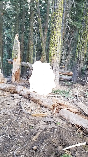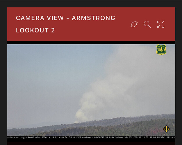
Spent some time on the Dixie and the Caldor. Assignments were like 10’ scrape, 8000’ in 4 hours, drop hazard trees and trees threatening the line. The fuels looked like this:
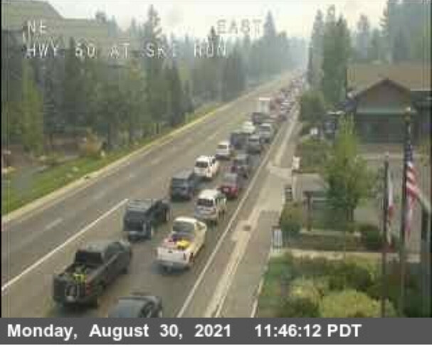
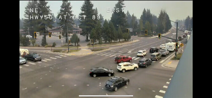
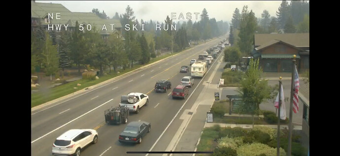
I’m surprised they shut down highway 89 north as an evac route so soon.
Scout Peak repeater and microwave site threatened. Fire cutting dozer line around the site.
What’s the likelihood this thing wraps around to Myer within the next few days? Those southwest winds seem like a real issue but I’m not familiar with fuel and topography of the area.
The Tahoe Basin is relatively flat… however it sits in a bowl… it wouldn’t be so much terrain driven through the basin as it would be wind/weather driven
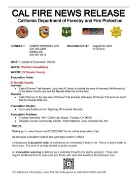
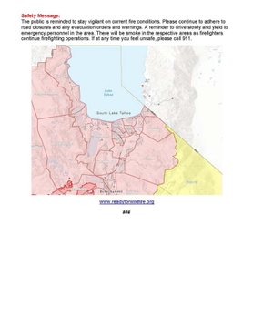
89 North along West Shore is part of the mandatory evacuation area… all the way up to Tahoma.
Thinking future applications- not today.
Its fixed, the backhaul in that area is having issues…
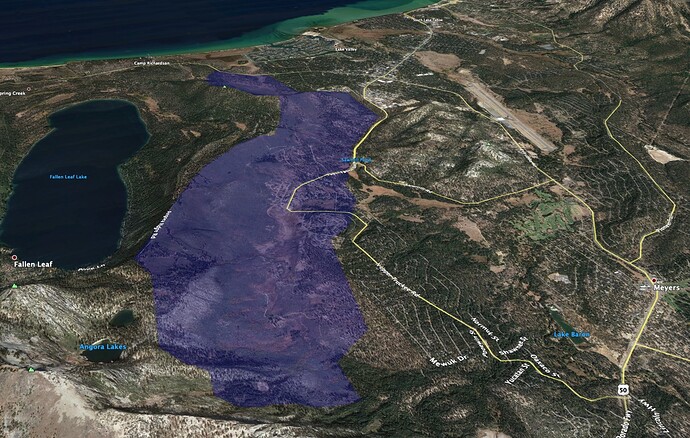
2006 Angora Fire pushed hard to NE with SW prevailing winds. Watch out of alignment of prevailing winds and streets/structures burning house to house.
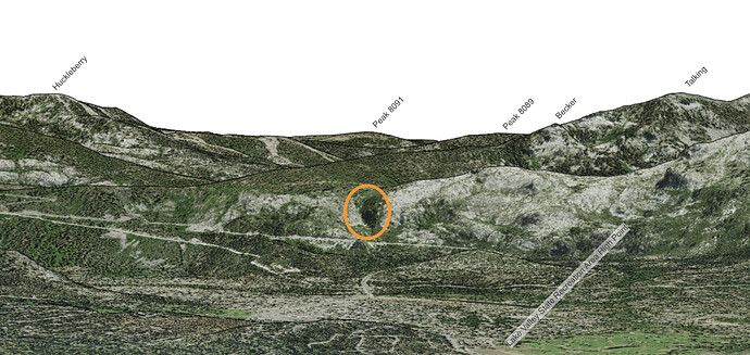
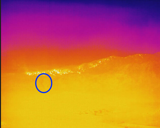
Do you know which peak the FLIR is showing activity coming down off of there? Flagpole? Becker?
Re-attaching an image from https://caltopo.com/view#ll=38.9274,-119.9316&e=30&t=,n&z=7&c=-1.47,-134.9 for reference. It’s hard to make out terrain on the FLIR image, but you can generally pick out the drainage that I’ve highlighted in both images, and use that as a reference point. The face with the drainage is above 50, the face behind it is above (West) of Echo Lake.
That fire started on the N side of 50 and the Angora ridge kinda guided it toward NW but slowed it down getting to Fallen Leaf Lake. This time, if it gets established in Xmas Valley and on the N side of 50 wow. It would have Pioneer Trail and steep terrain to get into if things go bad.
Probably the active area on the E aspect of Leek Springs
There was a spot outside line in division p on the IR map west of leek springs.

