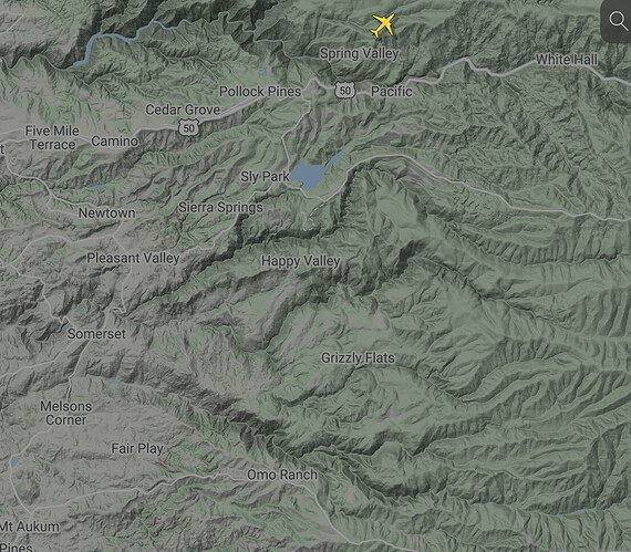
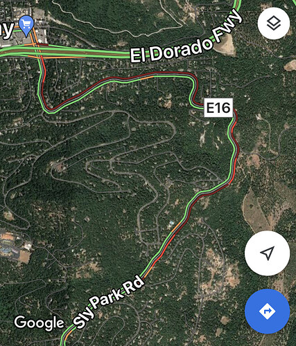
Yes, but before those kick in latter today, if this thing keeps going the direction it’s going, the head is likely to be well north of Sly Park Reservoir making the problem even worse. Right now they’re reporting just over 2000 threatened structures, but that number is sure to go way up.
Looking and gauging the heat on the Danaher camera, and the current push, it is very close to MET, and when it crosses MET, it is a relative short distance, fire wise, to Hwy 50. So yes, I’m sure 50 is their next line in the proverbial sand.
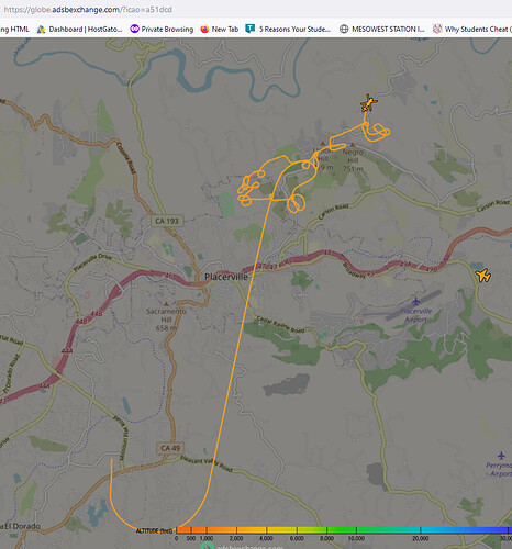
Checking https://globe.adsbexchange.com/
Theres not even an Air Attack up over or around #CalDor. The closest just did a loop around Latrobe area. Not sure if they have the ability to turn thiner tracking off and on
Good amount ash falling in South Lake Tahoe. Smoke is filtering the sun. Luckily it is staying pretty high so Air Quality at lake level is OK.
Stay safe.
IC just asked Camino about AA. AA is assigned, but not yet staffed. There is one copter up. I sure was hoping to see one heck of a big air show by now!
All federal aircraft should’ve been available at 0900.
Limited aircraft availability I’m guessing they’re banking their flight hours for later in the day
PG&E helicopter checking power lines
AA17 ETA 10:10am per Camino
Copy that. Thanks. I was wondering why they were north of 50.
Looks like the IR ship (N57B) is possibly mapping the fire right now may have a better idea on size soon
http://www.alertwildfire.org/tahoe/?camera=Axis-ArmstrongLookout2
This camera angle would suggest the heat being at Jenkinson Reservoir, perhaps beyond.
Have you seen a current 205 for the Caldor? If so, can you please share?
Flight radar has been sketchy for several months.
Been watching those Armstrong cameras all morning. The heel of the fire sure has come back to life. Looks like it’s forming a new head moving off to the east.
Cross reference with the Red Corral1 and you can really see the heel heating up
KCRA Live on Facebook is live over the fire.


