KCRA just reported roughly 6500 acres.
Type 1 team on order, sounds like Cal Fire Team 6.
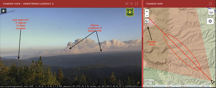
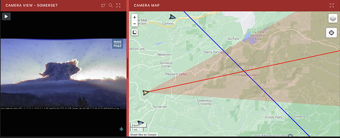
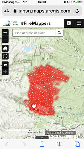
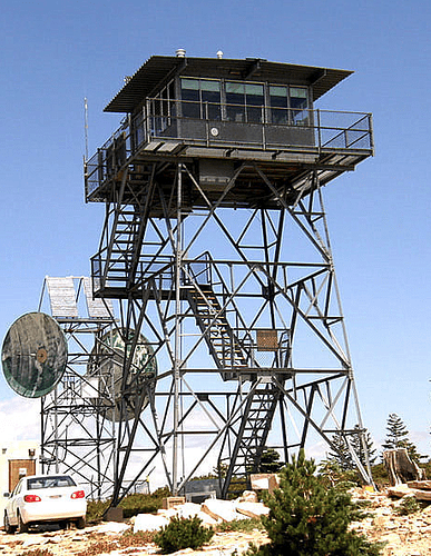
Hope Im wrong… the red line is in the middle of the column. This would mean past Grizzly Flats? It the camera view finder, you can move it side to side. Is this the max left and right, in conjunction with the “viewshed?” Anyone have a better idea of how the camera pointing works?
If I was in Sly Park Hills, I would be taking my coffee with me…
Heavy smoke & raining light ash on the North Shore of Lake Tahoe from about 22:00 last night.
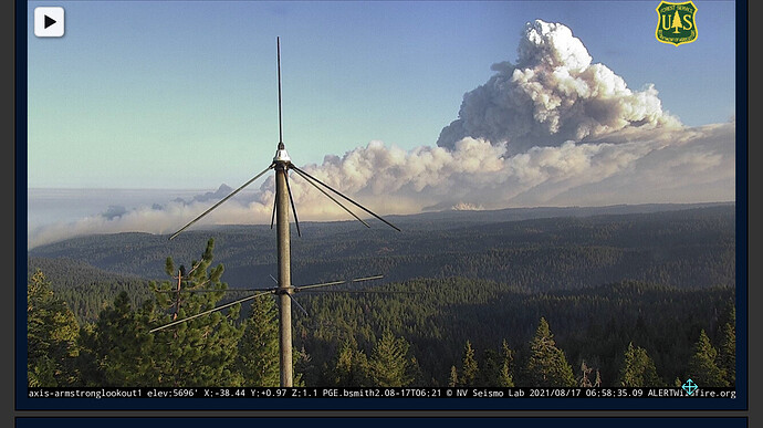
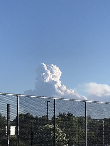
Column very visible from Modesto and Turlock. Really building this morning
Yes, it is past Grizzly Flat and Mandatory e-vacs are now all roads off Grizzly Flat and Happy Valley Rd east of E16
It appears to be headed currently for the King fire scar.
Affirmative IMT 6
While it seems far, I would have expectations they are already looking at HWY 50 and everything in between. No one would have believed the Dixie was crossing 395
No question about Hwy 50. It’s only a mile or so from it from the current heat map. It looks like it is headed right for the Pacific RD office. But the north side of 50 is all grass because of the King fire.
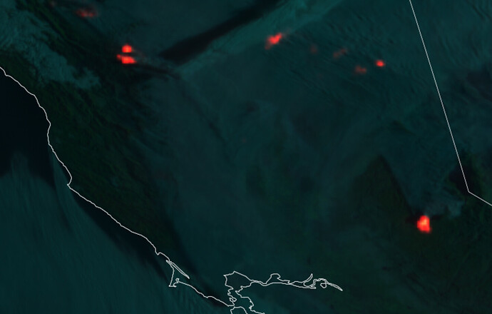
From what I have read… VIIRS and MODIS pass over us 2 times a day… These two satellites are more “tech” than the GOES. But they are susceptible to anomalies as you mentioned. Solar panels can even set them off. Heat in the smoke column can set it off too. So yes, don’t rely on just one measure. I can remember the exact details but I would steer you towards some of the NASA web pages that explain how they work and their limitations. By the way, GOES is about a 10 min updated pic, but it’s very broad. Hope that answers your question
Hopefully it will stay mostly east of Sly Park Reservoir and cross 50 in the area of Pacific. That will keep it more on the Forest. There are many many fewer structures on that side.
It’s about 2 miles south of Mormon Emmigrant Trail east of sly park lake, not 2 miles from Hwy 50
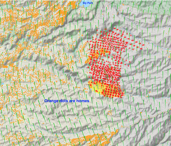
North to NE winds are going to push this into a lot of structures. Check out all the orange dots which are homes.

