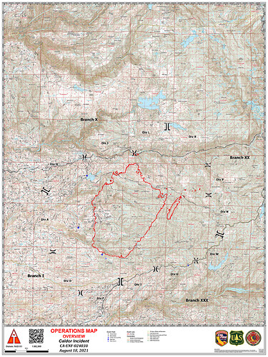
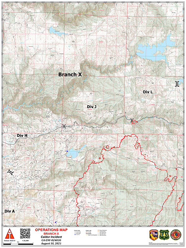
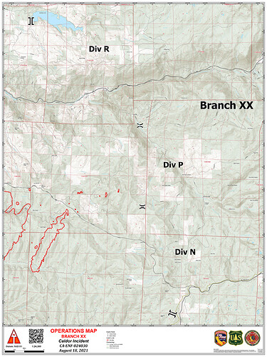
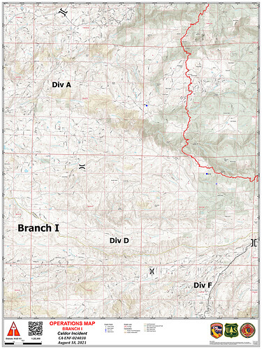
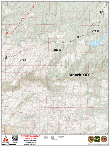
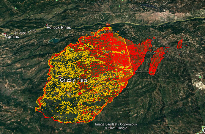
Per AA and a mapping flight, 41,188 acres…
30 acre spot 1-1.5 miles out
Wind is coming out of the southwest now, leek springs shows blue sky and the growing spot fire.
ABC 10 (Sacramento) reporting 60,000 acres. Not sure of their source.
Calfire says 30,000 as of 17:00 per their community meeting:
Last night the entire South Zone Quick Reaction Force of night flying aircraft mobilized to this incident. The S-76 intelligence aircraft, 2 Chinooks, and an S-61.
the placement of the town of 'El Dorado does
not make sense to me. the town of El Dorado, in the county of El Dorado is much south of Camino…actually south east of Placerville.
I believe you meant southwest…
I’m guessing on @Baldy map that is either in reference to the “El Dorado” highway (50) or it is how that particular map has inserted a place name for the county.
ok, you are right, south west. at any rate, the labeling is misleading.
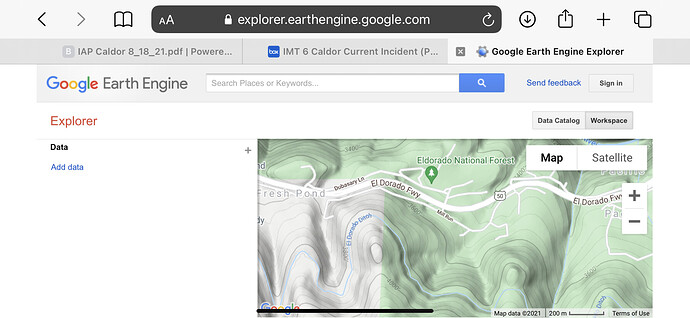
Green lettering on Google maps or earth indicates national forest, park, or outdoor point of interest.
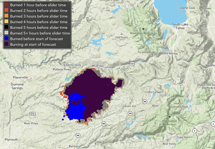
Here is the 24hr Pyrecast prediction on movement. (Purple & Blue currently and already burned). Hopefully this holds up considering the weather forecast with much less movement in the next 24hrs vs the last.
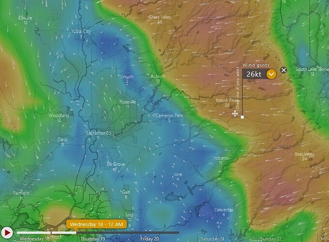
Pyrecast is underpredicting fires by a factor of 2-3x this year. Looking at forecast wind gusts for tonight it could make a monster run to the west.
Do you have an estimate for time of wind shift? From the line, that would be helpful. All estimates have been way off.

