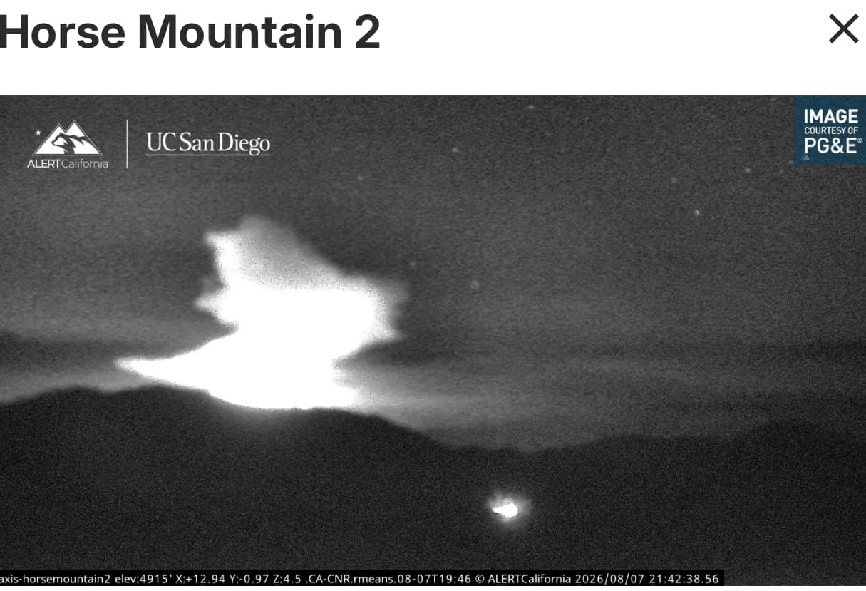
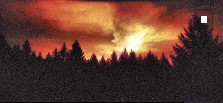
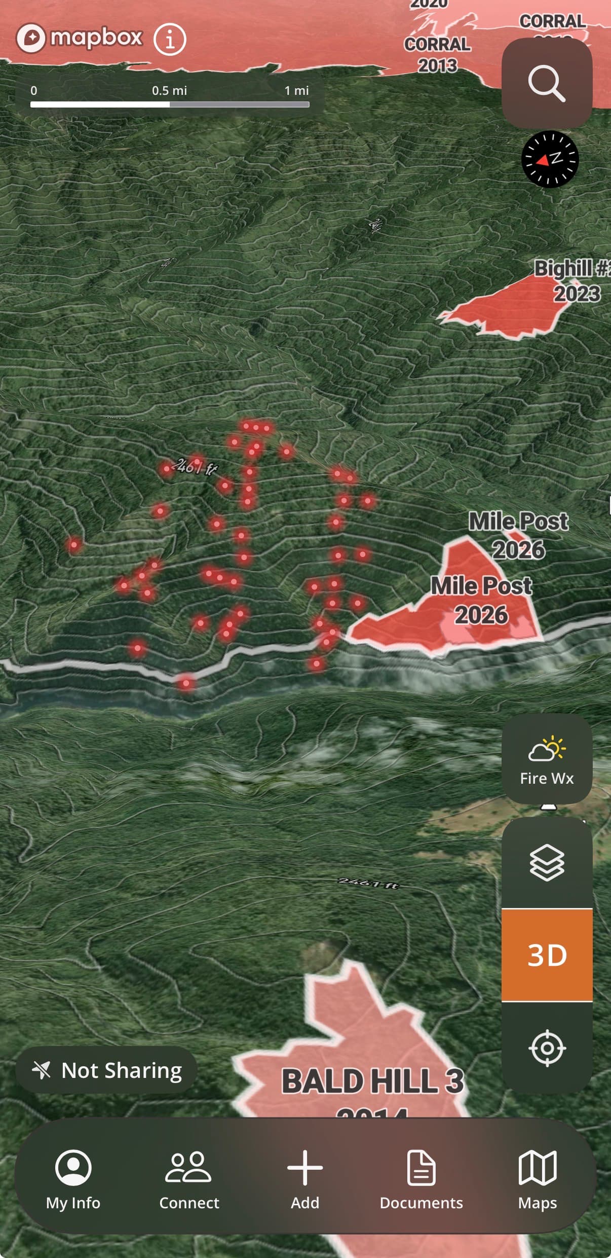
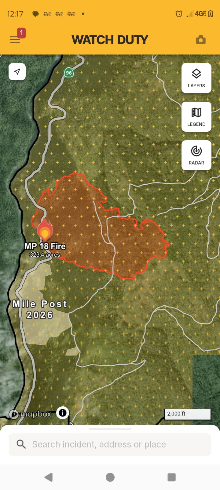
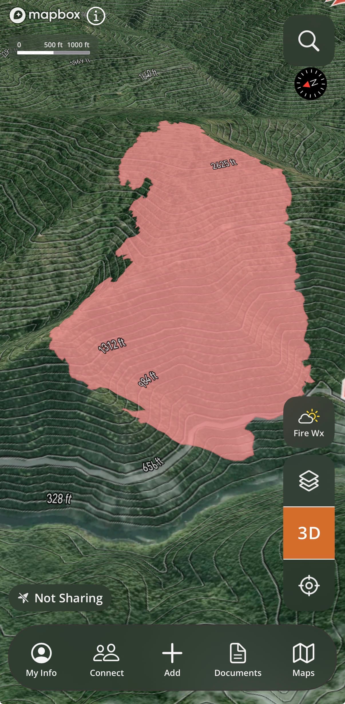
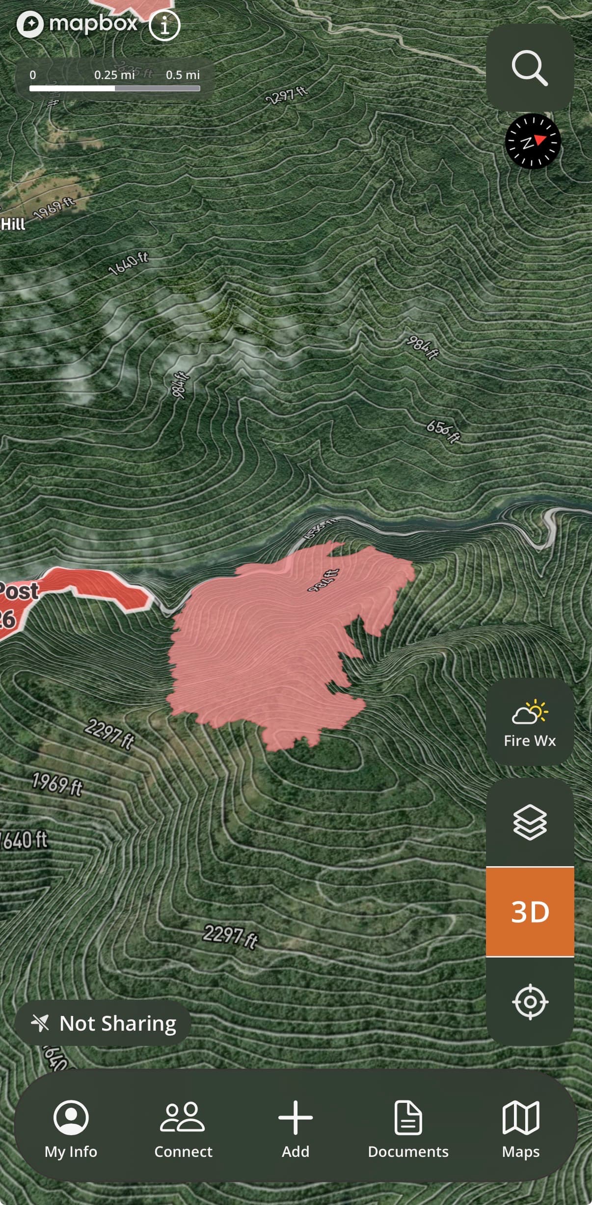
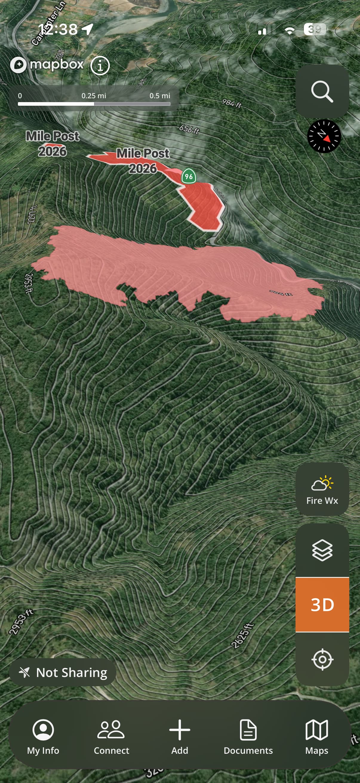
Fire off Hwy 96 just north of Hoopa.
Anyone have better info on this?
Fire off Hwy 96 just north of Hoopa.
Anyone have better info on this?
Sounds like 30 acres slow rate of spread.
HWY 96 closed, short range spotting, limited access, steep terrain.
Quite a header for 30 acres
This is the 4th start this year on that stretch of highway. Either a pothole keeps bouncing chains, or someone really wants that whole hillside black.
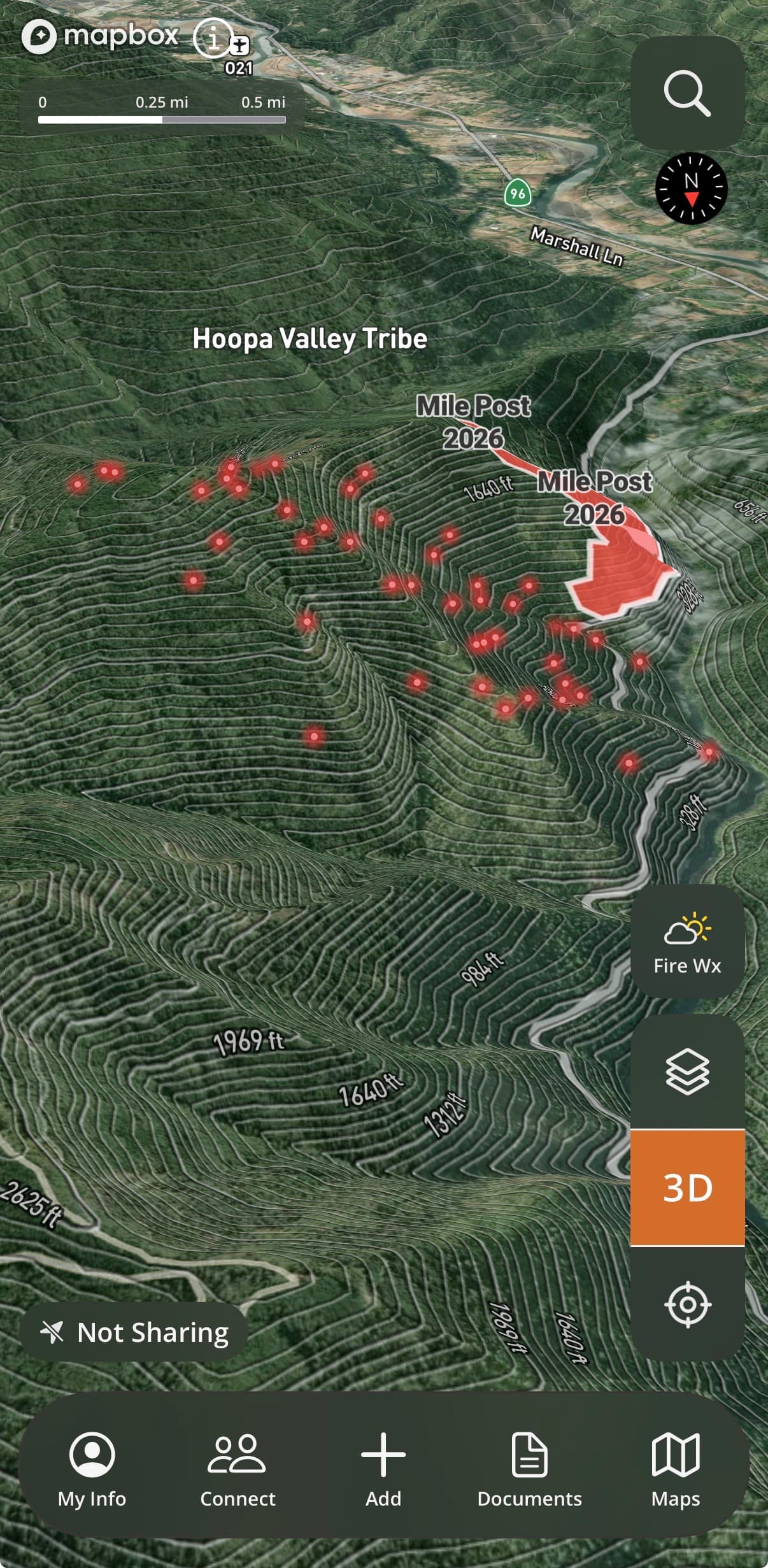
This one is ventilating substantially higher than the “Mile Post” fire last month was ever able to.
I was the USFS Patrol in Orleans for many years. there is a long history of Arson on the square and surrounding area. One year in the 1990’s there were over 300 starts. At one point, the FBI tried to tackle the problem but with limited success.
One man’s ‘arson’ is another’s ‘cultural fire’. People in Hoopa have burned the land to get what they needed from it since the dawn of time. Not saying that this one was started for a cultural purpose, but Hoopa and the Klamath in general is a tough place for outsiders to try to understand or control, on every level, and fire just happens to be one of the most visible ones.
Very interesting place…I was on a fire there in the mid 2000’s. The bar code looking tattoos on the females lips were pretty wild. But doing some firing and structure protection we came across a little compound near the river. A FS person stated that compound was so remote doing WWII a lot of rich a famous kids were hidden there. Lily Tomlin was one of them. They were put there incase Japan invaded the the Western United States. It’s still remote in my eye’s.
Spent a lot of time up there on severity. A couple 2 week vacations there we ran something like 32+ IA’s in 14 days. And I believe at one point they held the record for most arson per capita in the US. A majority of there income came from timber sales I I believe. Now with the known arson and the price of salvage timber, it’s mind blowing they would do that to their own income stream. A majority of there wildland fire dept are good guys and aggressive IA responses. But there were some known questionable ones.
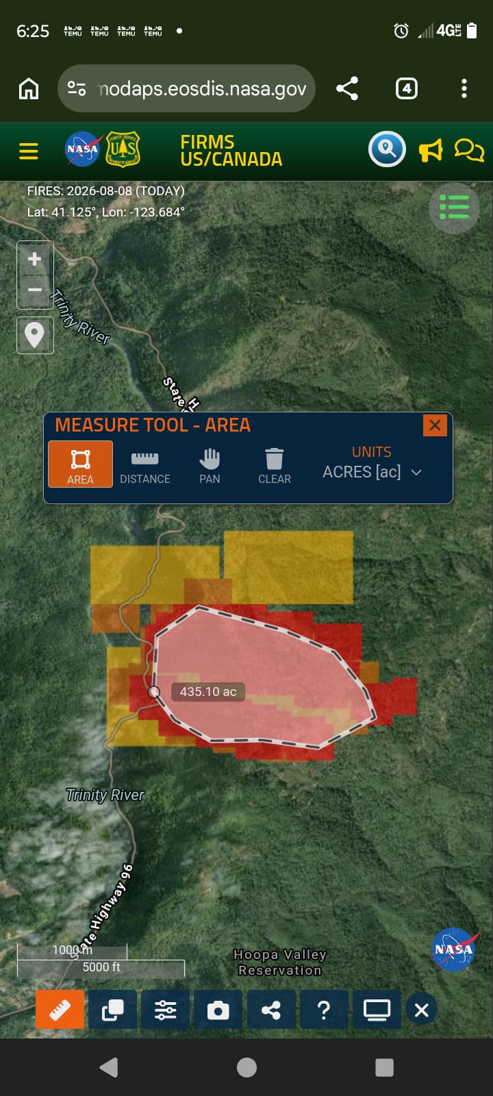
300 acres.
Very good estimate lol.. last night HUU toned out
Some additional crews and engines in the evening. Fires crossed Norton fire road.
3rd ish Topo map with the heat signature and fire history
When we get a map of the fire I’ll update with the map.
AA overhead now.
324 acres still waiting for the map.
Is this SRA or FRA? If it’s SRA any update on if there is a request for resources?
I believe it’s FRA as HUU said they are assisting.
With the exception of portions of the valley floor being LRA, everything else in that area is FRA until you get to Weitchpec. Here is link to the states mapping system for SRA/FRA/LRA.