Dexter, Vegetation Fire, Mono County, New North of Bald Mountain x West of Pilot Springs Rd Federal DPA, FRA, Inyo National Forest Start Time: 0935 · 116 acres grass and timber, 0% contained · Moderate rate of spread · Thunderstorms currently over the incident · 82 degrees 23% RH, wind SW @ 3 mph, gusts to 24 mph
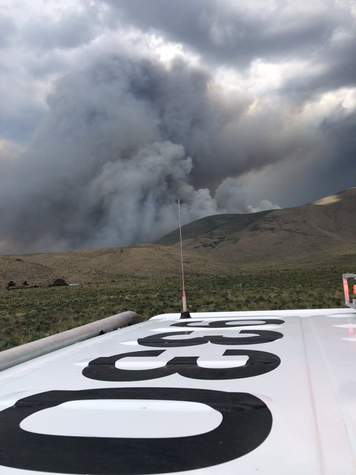
Sounds like a thunderstorm sat over the fire for a bit this afternoon, and now reports an hour ago of wind shift, crown runs to the south, extreme fire behavior, and immediate evacuations. Mono County assembling task forces of whatever they can get for structure protection. Sheriff is staging Bald Mtn Rd at 395.
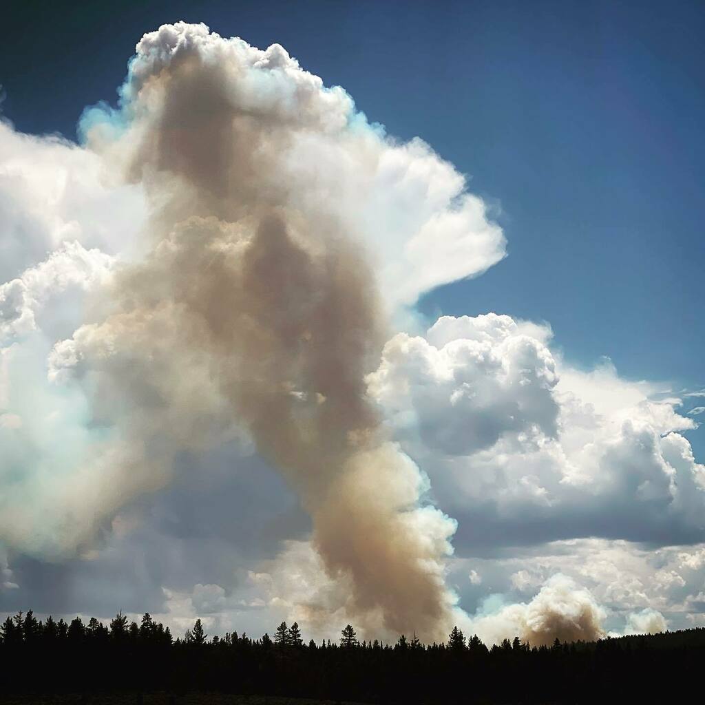
About 232 acres right now, fire is experiencing a rapid rate of spread and torching under the influence of outflow winds from a T Storm sitting over the fire.
5:27PM 7/12/2021 VEGETATION FIRE #DexterFire in Mono County near Bald Mountain. The fire is at 250 acres and is 0% contained.
Thunderstorms producing strong erratic winds grounded resources as per inciweb.
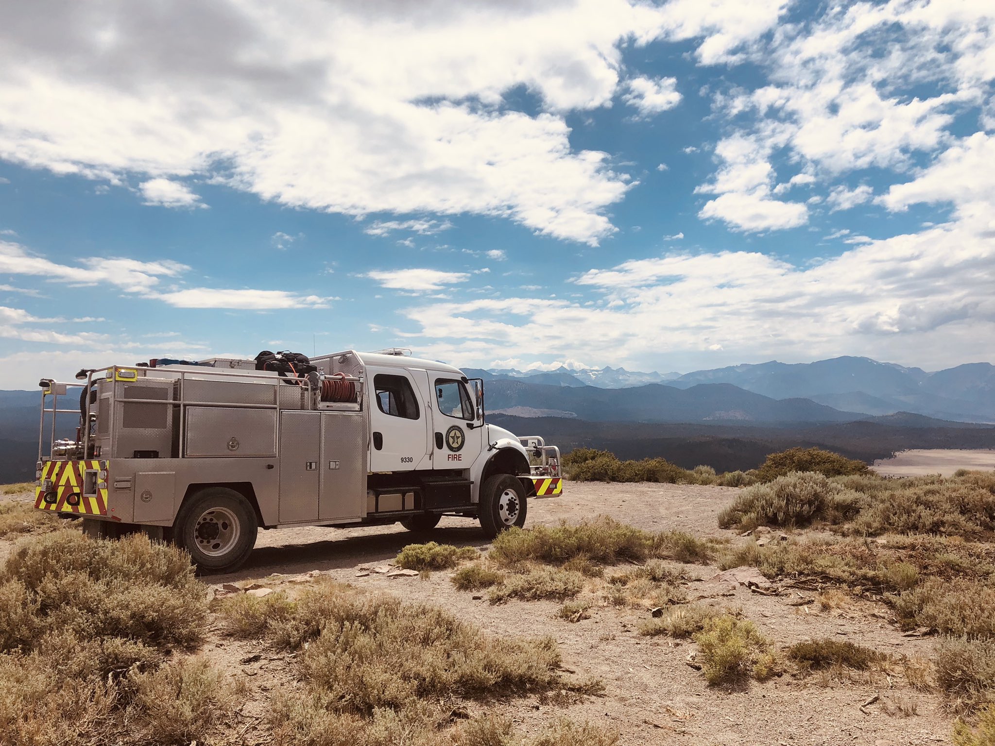
Thank you Texas for Staging at the [#DexterFire] on structure protection. Lightning strike fire roughly 1,000 acres burning near Bald Mountain. 0% contained.
If it is anything like last year, the are going to make it a big Rx burn. I was stuck as a DIV last year making plots for them to burn at night, and this lasted for my whole assignment.
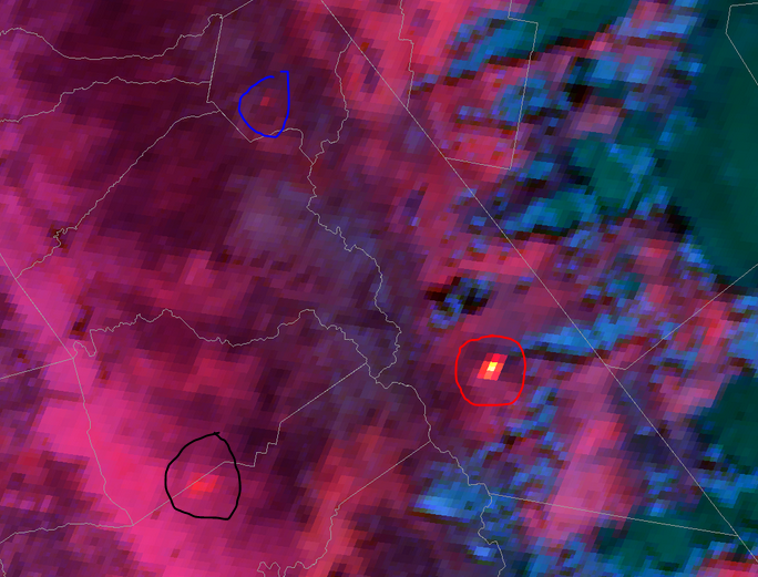
Most of the t-storms are now to the east. However the heat signature is very strong for Dexter (red circle). Note the River fire is Black circle and Henry Fire the Blue circle.
From South Ops as of 1900 on 7/13/21:
· CAIIMT 14 (Watkins) mobilizing. In-brief 07/14 @ 1600
1,400 acres (+474 acres), grass and timber, 0% contained (-5% containment) · Active fire behavior with crowning, wind driven runs and running · Evacuations warning and orders are still in place · Road closures in the area · Structures threatened