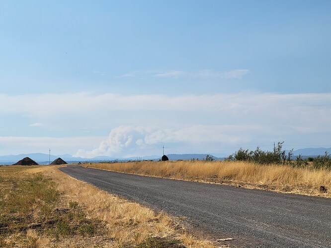
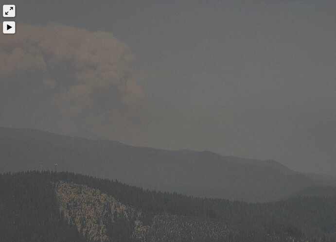
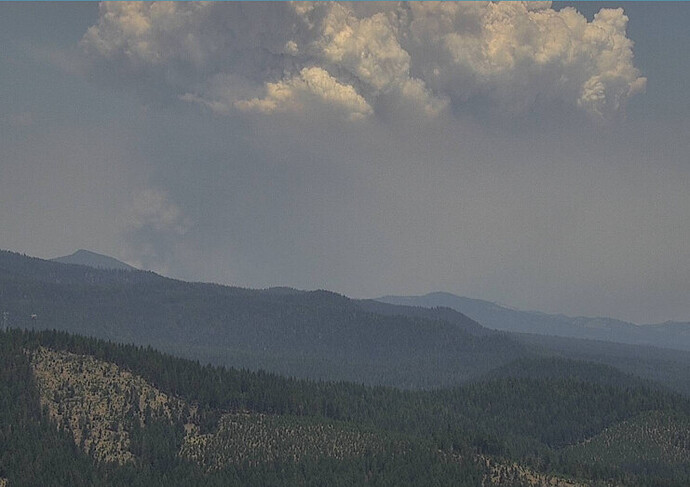
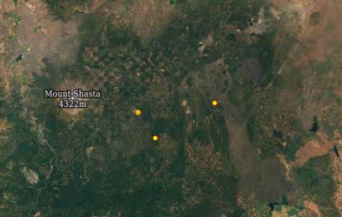
Fire started from lightning strike Aug 1st, burned through the Community of Tennant yesterday (Aug 4th). KNF is reporting it is already over 20,000 acres (up from 2700 reported the previous day). Within a few miles of where the Tennant fire was earlier this summer Not finding a lot of info otherwise.
Wuddup Chet.
While there are not a lot of updates, there is an existing Q&D thread for Antelope fire here;
Thanks. I looked in the Q&D list and somehow missed that.
From North Ops as of 1850 8/1/2021:
85 acres brush and timber, 0% contained with a moderate rate of spread. There are no current threats reported.
From Siskiyou County Sheriff’s Office approx 1900hrs 2 August 2021
An EVACUATION ORDER has been issued for the community of Tennant, California. Please leave the area immediately.
From North Ops:
2,700 acres brush and timber, 0% contained. Active fire behavior with group torching and long-range spotting observed. Evacuation Orders have been issued for Tennant, Bray and Antelope Creek Ranch. Evacuation Warning for community of Tennant. Threats to private timberland, critical wildlife habitat, and to historical and cultural sites. A Red Flag Warning issued for gusty winds and low RH on 8/3 and 8/4. SW Type 2, Team 4 (Schwope) ordered, in-brief at 1800 tonight.
Any updates?
Anyone know the Tac / command channels?
The Northern Siskiyou feed has a lot of the command traffic. Northern Siskiyou County Fire/EMS Live Audio Feed
Just toned out a lot of Siskiyou County FDs for immediate need engines for structure defense at Tennant.
- Fire is currently impacting SW Tennant.
- Air Attack estimating 13k acres.
- Video update at 15:30 from Operations Section Chief Buck Wickham from the Southwest Area Incident Management Team 4: https://fb.watch/7aRhsmp-2l/
Is Tennant still standing this morning?
I heard however not confirmed that 6 structures were unfortunately lost. Again this is not confirmed.
Shortwave moving into the area is making it very unstable. Expect a lot of lightning strikes on any thunderstorms and dangerous outflow winds.
The fire is producing lightning now.
Air Tactics FM 173.9875
Air/Ground 169.200 and 173.850
Rotor Vic/TFR/Briefing 127.050, 133.225
Did this fire crank today?
Siskiyou County evacuation map. This has the most frequently updated fire area info I’ve seen.
34,400+ acres as of yesterday around noon according to USFS. Spreading mostly to the east, driven by winds. 0% containment.


