State ID: CA
3 letter designator: KNF
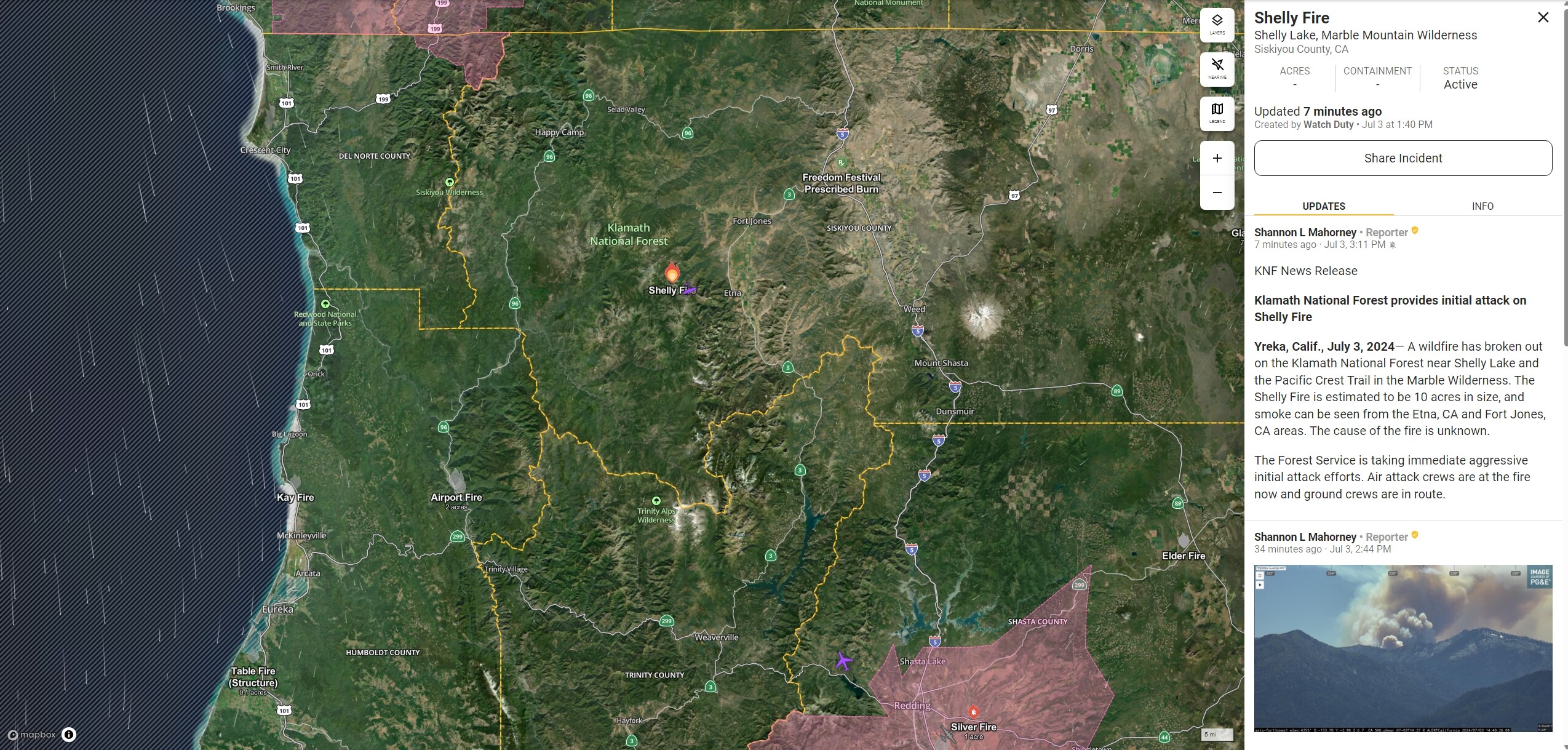
Fire name: Shelly
Location: Shelly Lake, Marble Mountains Wilderness
Reported acres:
Rate of spread:
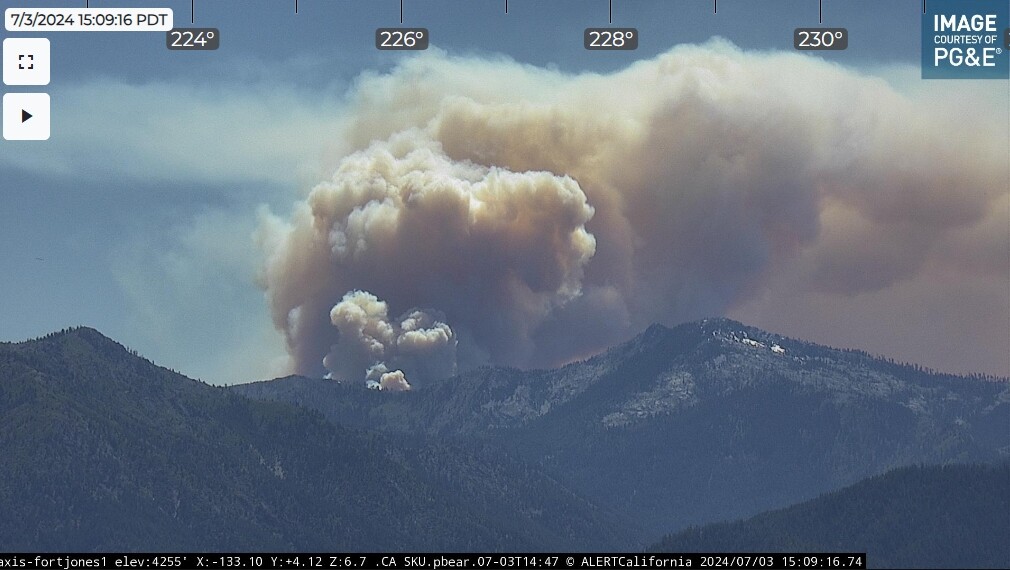
Report on Conditions: Rapidly growing column, spotting 1/4 - 1/2 mile
Structure threat: None
Resources: 5 helos, 2 tankers
Hazards:
Weather:
Radio channels:
Scanner link: https://www.broadcastify.com/listen/feed/28507
Webcam link: https://ops.alertcalifornia.org/cam-console/1650
Agency Website:
4 Likes
Heard estimate of 100 acres with multiple spots from AA
5 Likes
Team 12 is on order
57B mapped it at 224
4 Likes
Nine Jumpers out of RDD were part of the IA.
5 Likes
tak data package posted for the shelly http://maps.takserver.us
2 Likes
2 posts were merged into an existing topic: CA-LPF-Lake??
This might help::
https://ftp.wildfire.gov/public/incident_specific_data/calif_n/!2024_Federal_Incidents/CA-KNF-005159_Shelly/
1 Like
tak data package posted http://maps.takserver.us
2 Likes
As of 0230 this morning, 790 acres (+273) and progressed about a mile north into the Kidder Creek watershed. Evacuation warnings have been issued for the North Kidder Creek Road area.
7 Likes
TAK data package posted at http://maps.takserver.us
3 Likes
Fort Jones cam 
1 Like
I believe that to be the SRF- Boise fire, not Shelly.
1 Like