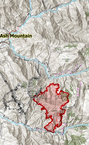
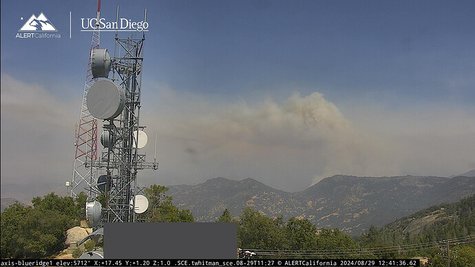
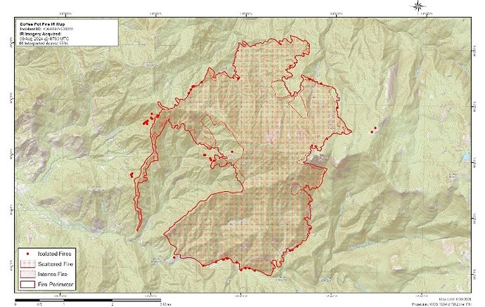
You would think if ignition were going well some sort of containment would show? 1-3% any info?
Had rollout issues?
https://www.sfgate.com/bayarea/article/coffee-pot-fire-grows-sequoia-national-park-19728728.php
Nothing has crossed south fork drive, that’s a large area they are slowly firing off plus firing off cinnamon creek instead of the hand line they put in on the ridge east.
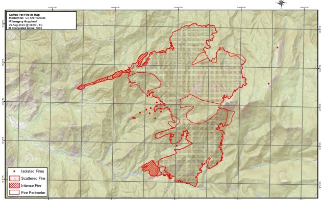
They fired down cinnamon creek to salt creek fire road and the dozer lines there, they’ll probably take fire down to south fork drive.
Do you believe evacuations are precautions in the event firing doesn’t go as planned rather than an event occurring that wasn’t expected?
Or were the evacuations from the article already in place and not due to the recent ignitions.
IR last night shows 5683
It’s the portion of south fork drive that will be getting ignitions soon. The zone with mandatory evacuations is inside the box. This was part of the plan and blown out of proportion by the article.
I figured as much so tried to do some digging. Sadly I expect people within the profession to reference the article as an excuse to point towards management of the fire failing without researching anything.
Now my web singers are loaded for that dinner table conversation🤓
You would think that, given the spectacular runs we have seen fires make in the last ten years, SFGate would be more careful in describing a 1,400-acre increase over a day and a half as the fire “exploding”. They should probably put in a resource order for different verbs.
Current fire activity:
I was about to comment it’s definitely got a definitive column on it today, unlike the last few days.
I am pretty sure that is all the burning operation to secure the perimeter. Today and tomorrow it looks like they are going to burn several thousand acres to bring fire to the containment features on the Three Rivers side of the incident.
Yep, from what I’m hearing from the Inc. , just hoping they keep it where they want it.
Looking at the weather for the next week, they’ve got today and tomorrow to get after it before we get back into triple digits and multiple days of it.
Firing in division c is progressing down to south fork drive.
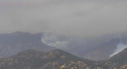
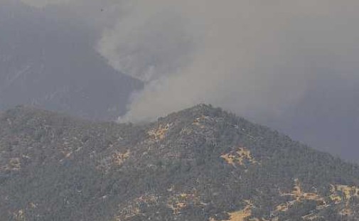
N50X is mapping the fire.
The heat shown down cinnamon creek was a mapping error.
They fired the handline down salt creek ridge to south fork drive.
Is KNP considered federal? Or is this being managed as a state fire?
unified command with State and Federal

