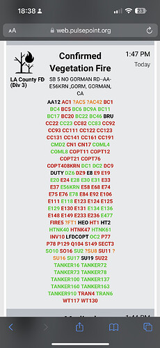
State ID: CA
3 letter designator: LAC
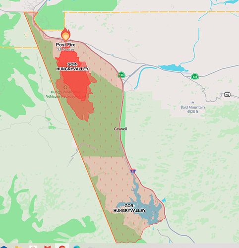
Fire name: Post
Location: Interstate 5 and Gorman School Rd
Reported acres: 3600+
Rate of spread: Rapid
Report on Conditions:
Structure threat: Yes, Hungry Valley evacs in progress
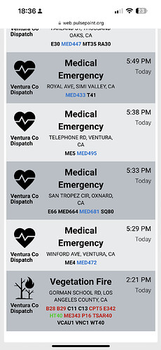
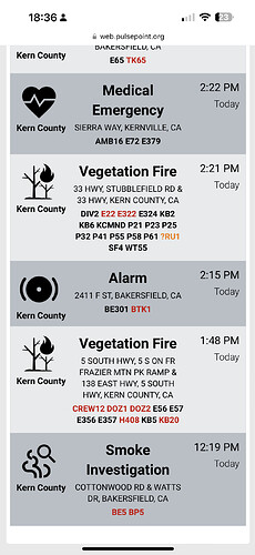
Resources: major response from LAC, KRN, VNC & ANF
Hazards: Transmission lines
Weather:
Radio channels: LAC V-1
Scanner link: Los Angeles County Fire V-1 Live Audio Feed
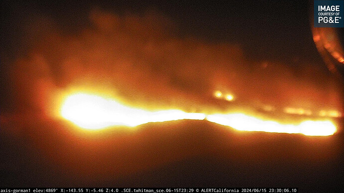
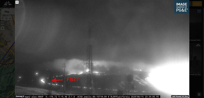
Webcam link: ALERTCalifornia - Bald Mtn Tower LAC 2
Agency Website:
SPOT Weather as of 1913hrs
ADS-B map of aircraft working the fire
https://globe.adsbexchange.com/?SiteLat=34.782&SiteLon=-118.882
As cutoff time hits this will certainly change, though the map is pinned and the link should work just fine for tomorrow
ST9310C has arrived from RIVERSIDE RRU
Significant spot outside the line on div A parallel to i5 near the heal. Asking hello to verify.
Update: 10 acre slop
Intel24 is over the fire.
The slopover in DIV B is making a significant run
FS77 is approximately there near the 138 / 5 split
Approximately 11,000 acres now.
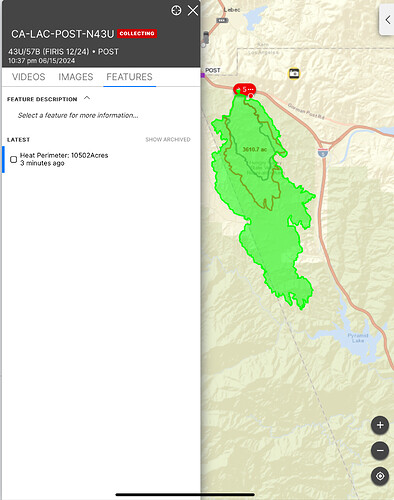
UPDATED: INTEL24 reports 10,502 acres
Per FIRIS fire has been mapped at 10,502 acres.
Appears they are setting up the ICP at Castaic Lake. Evacuation Warnings for Goldenstate area and Paradise Rance.
XLC 1201A (BUR BC1/MPK BC6, BUR E13 & E16, GLN E25 & E27, PAS E36) enroute to ICP at Castaic Lake.
Also, PAS WT34
Here are the extended attack frequencies assigned to Post. Did not see an A/G assigned but it is LAC so they might have their own internal procedure vs CalFire’s typical.
- Air Tactics 166.6125
- Rotor Vic 123.175
- CDF Tacs 28, 29, VFIRE 24, 25, 26
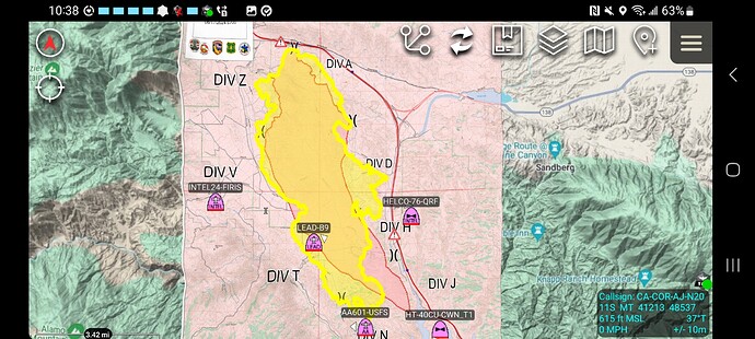
Ops map is posted on FTP.
I have a TAK data package posted (its just the ops map) at http://maps.takserver.us
Its in the DATA & INCIDENT MAPPING folder
NOTE the OPS Map did not use the FIRIS perimeter but at least you have the division boundaries.*
Per Cal Fire, the fire is at 11,000 acres and remains at 0% containment. Air Attack has requested 3 additional helicopters.
Red Flag Warning from 8:51am 06/16/24 to 3:00pm 06/17/24.
12,266 reported.
