State ID: CA
3 letter designator: LFD
Fire name: Palisades
Location: Michael Lane; Pacific Palisades, CA
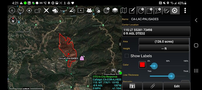
Reported acres: 100
Rate of spread: moderate
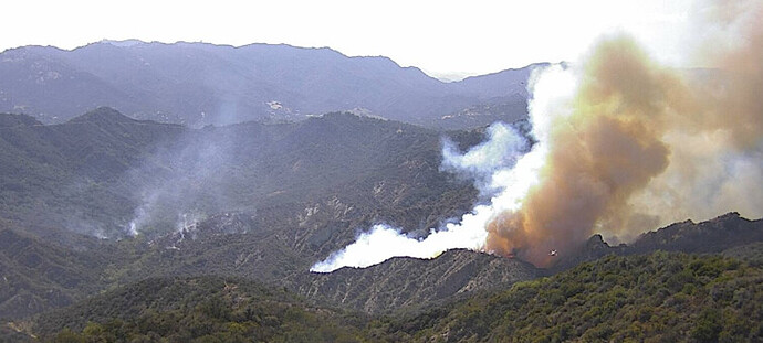
Report on Conditions: fire started last night and suppression efforts were hampered by marine layer, the fire is now up and running this afternoon. Potential for 500 acres
Structure threat: yes, resources responding to Santa Maria Road x Topanga Canyon
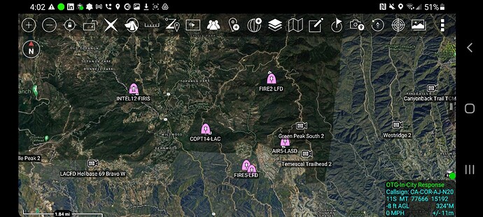
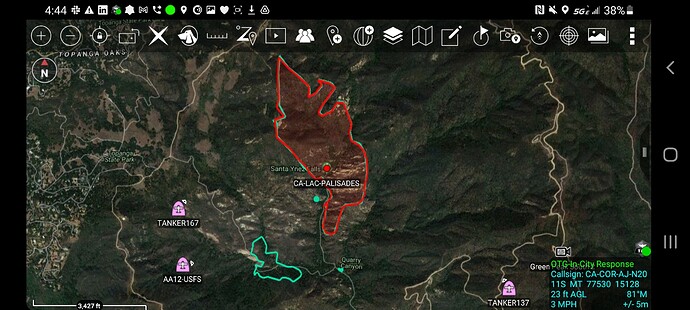
Resources: LFD, LAC, AA12, T70, T71, T72, T100, T137, T167
Hazards: steep terrain, heavy fuels
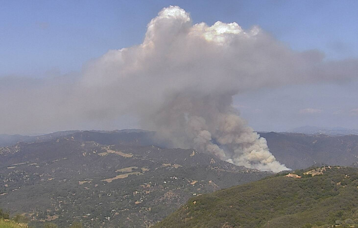
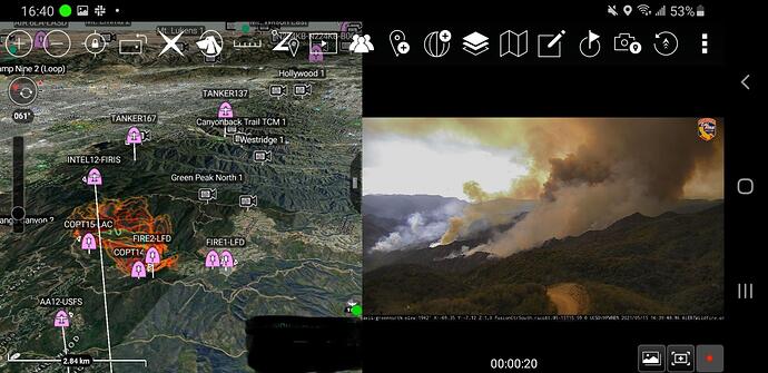
Weather: Onshore winds with Catalina eddy. Temperatures are in the mid 60’s with 15-25 mph winds. RH 50-70%. Atmosphere above is slightly unstable leading to pyrocumulus development.
Nearest PWS
Radio channels:
Scanner link: Los Angeles City Fire Live Audio Feed
Los Angeles County Fire - Blue 12 and V-5 Live Audio Feed
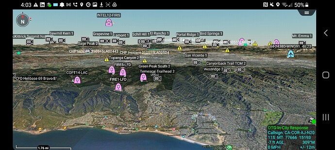
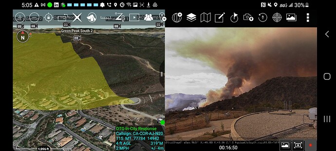
Webcam link: Green North
Green South
Temescal Trailhead 1
LACFD Helibase 69 E
Agency Website: https://www.lafd.org/
Helco is requesting 2 additional type 1 Copters. Ground access is difficult.
Live Video: Live News Stream: Watch FOX 11 Los Angeles
Click ‘Sky Fox’
AA12, at 167, 137 ; all off SBD
AT requested 4 additional tankers
AA requesting 4 more tankers any type.
150-200 acres per AA
Tankers enroute: T-72, T-100 from Hemet and T-70, T-71 from Ramona.
Communications Plan:
LAC:
Admin Blue 3
Command LAC V-4
Tactical Vfire 25 and VFire 24
Air to Ground: LFD A/G
Victor 119.975
Air Tactics 21
LFD
Admin LFD T-5
Tactical LFD T-12
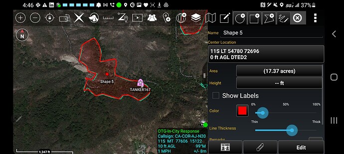
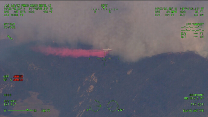
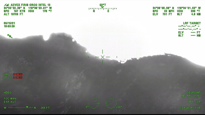
The fire is still making a decent push and is about 50 yards from jumping Topanga Fire Road. This will pose a structure threat at some point, there is chatter about initiating some evacuations. This fire is creating a pretty good heat signature and a Pyro Q at about 10,000 ft. Impressive fire behavior for May in the Marine layer.
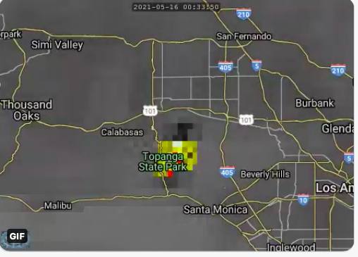
Looks it spotted to me.
