AA-12 over the fire now doing their first lap.
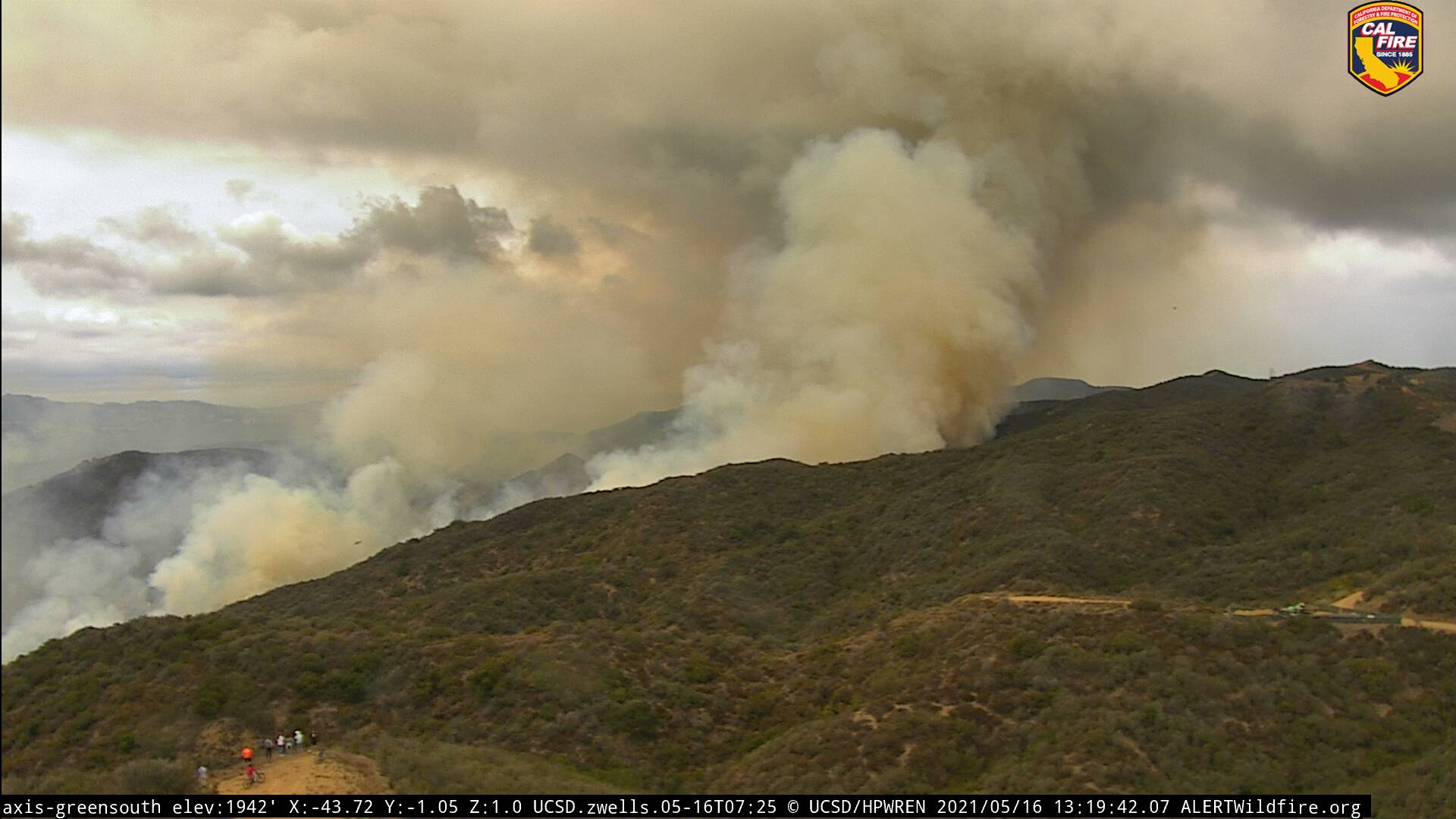
Notice the people in the bottom corner.
AA12 returning to SBD, unable to make it into the incident due to weather.
2 Likes
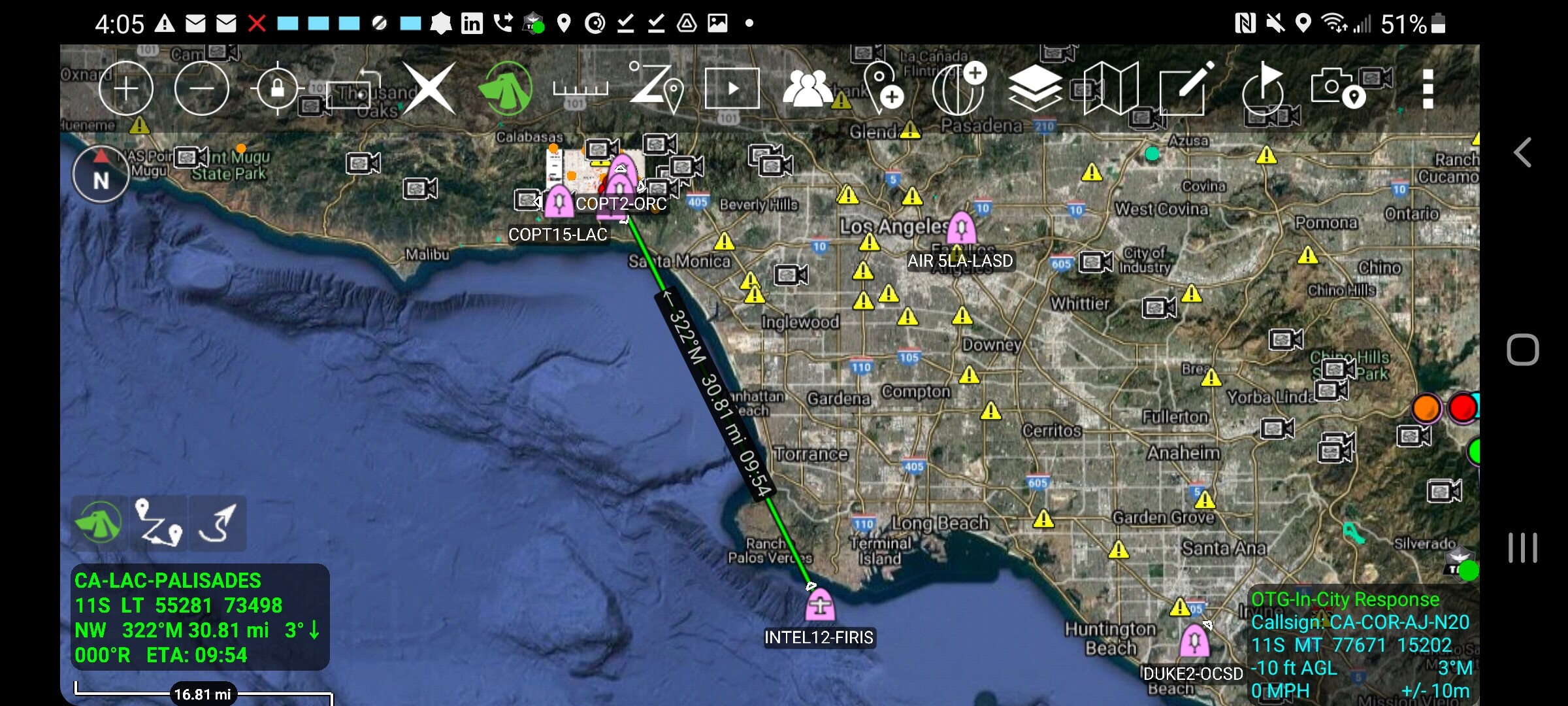
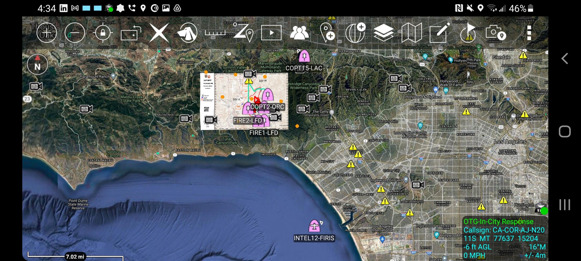
VNC Copter and OCFA copter are both being committed to the incident.
2 Likes
Flew AA relief on (Green Meadows) when onshore winds took over. Very rugged terrain and nasty turbulence for fixed wing ops. Grounded the air tankers, kept chasing main fire with the rotors.
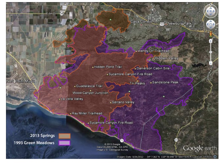
Green Meadows (1993) vs Springs Fire (2013) maps.
4 Likes
Per ABC7 fire up to 1,325 Acres, evacuations remain in place and LASO still looking for the suspect.
1 Like
live video
2 Likes
Ops is ordering an AA again to try to get some retardant in on Division Alpha before sunset.
Helco thinks they will have a better chance this time.
Looking at the live video, seems that it is a flanking fire on both sides. Handlines are going in, and there appears to be dozer contingency line down the flanks.
3 Likes

South ops is inquiring on cloud deck height before they launch AA 12.
1 Like
Sounds like 3000 foot ceiling is too low for AA to return
1 Like
Wind has switched somewhat on the left flank, and fire has crossed the drainage. Fire on that flank is getting more active than I have seen the whole time the helicopter has been up videoing.
Losing all the non LA City ships back to their respective jurisdiction, except for the VNC ship.
1 Like
I think the Green Meadow started near a golf course in Thousand Oaks and burned west on a Santa Ana. It then got turned around and blew onshore and made a big run back to the east.
About a week later, the Topanga Fire started and the Green Meadow tacked on some acres as well.
I was a young buck, bit the old timers told me it would be a once or twice in a career fire, I have had about 20 of those since 93…
4 Likes
I was on the fire last night, no fire history in this area since early 1970! Its in big ugly coastal brush (20 to 30 tall) with a lot of dead underneath, steep rocky terrain, and historic low fuel moistures. This is about 30 miles south of the fires you are talking about
4 Likes
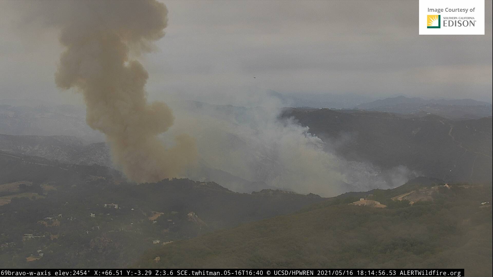
I think this is where the fire crossed the drainage on the left flank when I was watching the Live stream, the wind had switched from the rest of the fire in that area, at the time. Heading towards the Topanga Fire road.
2 Likes
They are hitting the road hard with the helicopters they have, it will be tough since the others they had have returned to there bases. On the plus side fuels and terrain look more favorable.
1 Like
Law enforcement is being requested for Entrada Road and Colina Drive in Topanga for evacuating citizens. I think this is right where this flare up directly heading towards.
2 Likes

yes I thought the were in the same locations basically
Anyone have problems with the incident map on the ftp site? My avenza doesn’t like it.