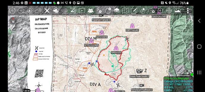
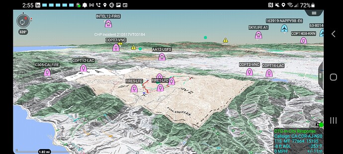
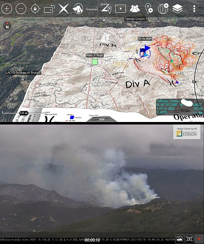
Data package for 051721 posted at http://maps.takserver.us/ for ATAK users. Well I anyone can use it. Its all the maps and IAP in a zipped folder for download. So you could download and unzip and put in any program you like. ATAK users just download the zip folder (dont unzip it after download) and import it using the import manager in ATAK. Remember to choose Data Package not Imagery. Enjoy.
Still not opening in Avenza. Possible it’s not georefrenced?
All the maps i downloaded today were georeferenced. Just checked one in avenza. Works fine
AA12 is over the fire.
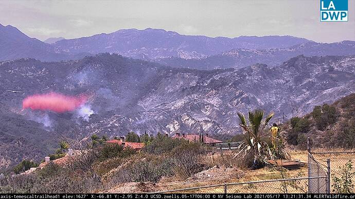
Ops is requesting an addition type 1 and type 2 copter through AA. Also tankers are inbound.
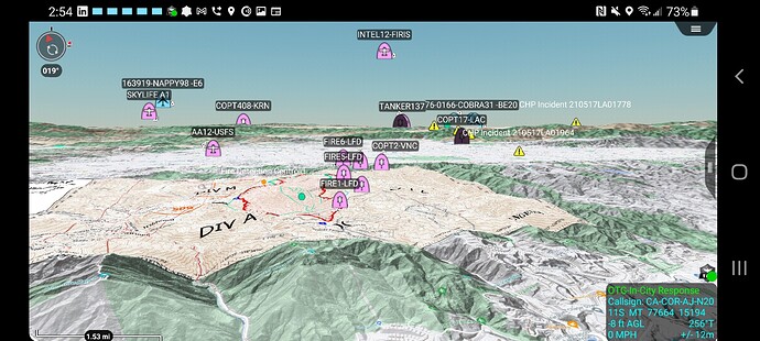
Over the fire currently is,
AA12, LA Fire 5, 6, LAC 12, VNC 2
Copter 16 from LAC and Copter 305 to fill the orders for the type 1 and 2 helicopters.
The ISR ship is going to launch again to recon.
FIRIS Remote Sensing is in Green overlaid on the ops map. Remember they are going off of an IR camera so cold areas of the fire might not be as easily seen
ATAK Data Package posted http://maps.takserver.us/
No IAP posted to FTP.
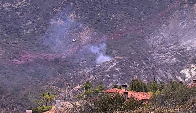
40 x 40 spot reported outside the lines, requesting copters to assist.
Still learning this program, following your tutorials… legit! how did you get the aircraft on there? Is that on a server.
@Station2 yes thats on a server. PM and lets talk.
DATA PACKAGE UPLOADED FOR TODAY. NO IAP.
http://maps.takserver.us/
Helo’s working a spot at the heel
