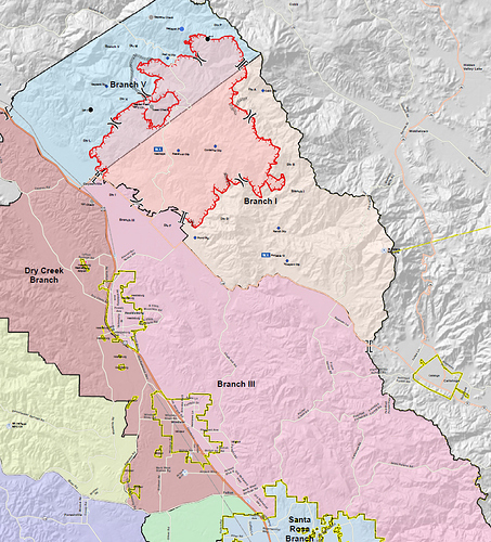
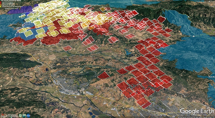
Sarah: Holy cow those places are all far beyond the fire’s footprint from last night’s branch map i looked at early this morning. I imagine that map is quite outdated now after last night/this morning’s winds.
Live map. It updates every 4-6 hours.
No problem! It has surely changed. I like these footprint maps since I use a few different “live” trackers. But, they aren’t really being updated frequently enough compared to how the fire is growing. I appreciate you sharing them when you do.
54,200+ acres w/ containment down to 5%, 94 structures destroyed & 17 damaged. 80,000+ structures remain threatened. 2 firefighters suffered burn injuries today per the Cal Fire press conference.
EVACUATION ORDER has been issued for the Markwest/Larkfield Wikiup area due to a fast moving wildland fire. EVACUATE IMMEDIATELY www.socoemergency.org
4 VLAT’s, 4 LAT’s assigned, putting in retardant near Mt. St. Helena in Divisions B and D.
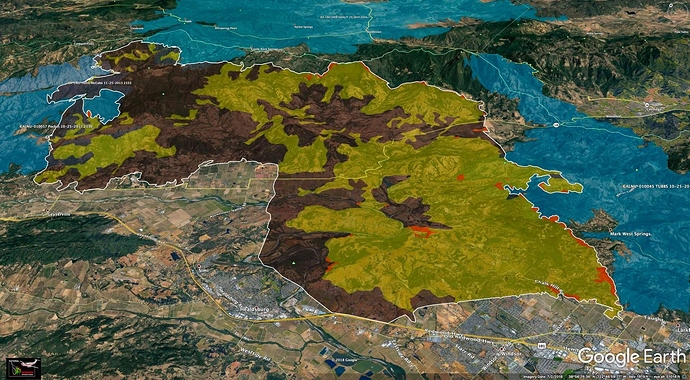
Last night’s IR in Google Earth, 1am on 10/28.
White is the fire perimeter, black is cold, yellow is scattered heat, red is intense heat.Blue is recent other fires.
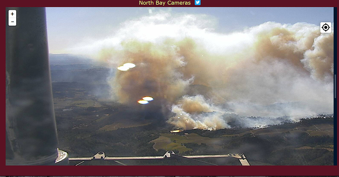
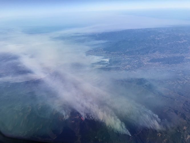
Here’s a view from my brother’s jet from about an hour ago w nearly the same perspective as the map.
Todays OPS Map link…
Spot across the line division Bravo…if not caught, will reach Middletown area in 24 hours
Middleton or Middletown (lake co.)?
Sorry, Lake County (fixed it)
74,324 acres with 15% containment, 90,000 structures threatened, 123 structures destroyed (57 of those are residences). 20 structures damaged,
Jim, you were correct. Its Middletown.
Link to today’s OPS map…
Link to fire progression map…

