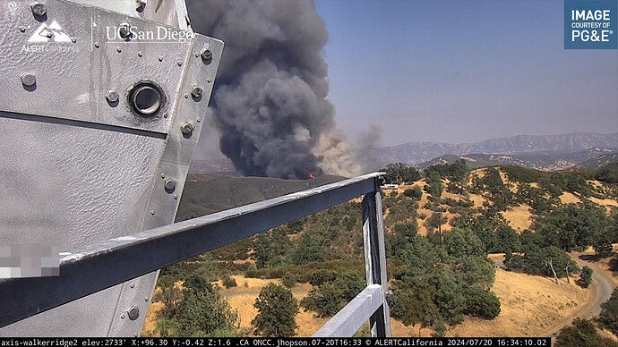
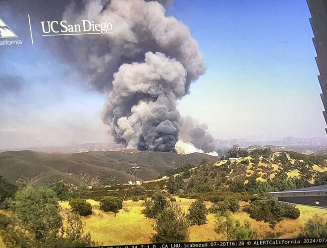
Large dispatch put out by St Helena, they are reporting at least 25 acres RROS. Either Walker or Ridge IC, large column showing on the Walker ridge cam.
Ridge Incident, HWY 20 and Walker Ridge.
Thank you for the correction, 8 additional water tenders requested
Units enroute reporting approx 250 acres, still not on scene. 2 major shoulders. Looks to be moving quick
10 additional engines and 6 Tankers on order.
That looks like it is very much in the area where they were working very hard to keep the Sites Fire away from. Looks like it is running north into the Indian Valley Reservoir area.
T90 - 100 acres RROS, potential for 1000, no structures
Westside view:
Sites fire was one mountain range to the east and a ways north of this, I am pretty sure.
Lots of brush here…long way to run.
Aircraft assigned: A8CE, T85, T86, T90, T91, T93, T210, H601, HT-6PG
ASM and VLAT on order:
1651: ASM can’t be filled and will be Lead 47
Can’t seem to make an IA thread, “title has already been used”, maybe someone else can take a shot?
Concerned with the possibility of hunters in the area, IVR is a popular OHV area, trying to get an estimate on how many people could be in there
The VLATs was diverted to this start from the Long Fire.
-Long fire requested 6 LATs
Please try creating an IA again only add 2024 at the end. That name is already in our archive database
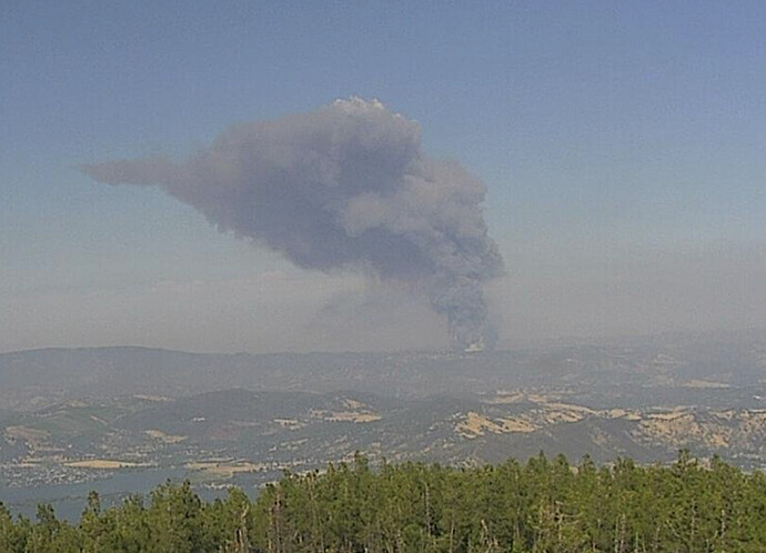
With the east view from Lower Lake cam, it looks like it is also headed into the Site scar. They did say two major shoulders. Hoping they can get some air on this and reduce those two Major Shoulders to 2nd Lieutenants or less.
AA REQ - 4 T1 Tankers, and 4 T2 or better Copters
My old unit… 2013 walker fire anchored here, ran to the east, 2015 Pawnee fire to the West and North 2015 Rocky fire burned to highway 20 from the south. That corner of Walker ridge has not burned in a long time and the 10 year old fire scars will not contain it.


