State ID:CA
3 letter designator:LPF
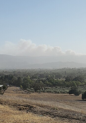
Fire name:Alisal
Location:Upper Alisal Guest Ranch
Reported acres:100+
Rate of spread:Rapid
Report on Conditions:
Structure threat:Unknown
Resources:
Hazards:
Weather: 40+Mph wind
Radio channels:
Scanner link:I’m listening to “Santa Barbara County Sheriff, Fire, Aircraft and Marine, Lompoc Police / Fire” using the Scanner Radio app, you can listen to it by going to Santa Barbara County Sheriff, Fire, Aircraft and Marine, Lompoc Police / Fire
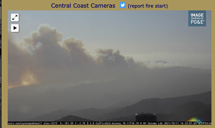
Webcam link: Santa Ynez Peak 1, Blueberry 1, Refugio 1
Agency Website:
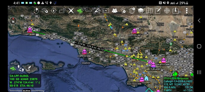
Incident now called Alisal, please change to CA-LPF-ALISAL.
Initials comms staying with SBC com 3 and CDF Tac 4, unsure if Air has switched over to FS freqs.
Per SBC copter 308 fire is backing on the north side of the ridge twords Alisal lake with a decrease in intensity.
Releasing Tankers due to turbulence.
SBC copter 308 OOS mech possible 30 min delay.
Mandatory evacs requested for Arroyo Quemada, Arroyo Hondo and Tejiquis cyns down to the ocean.
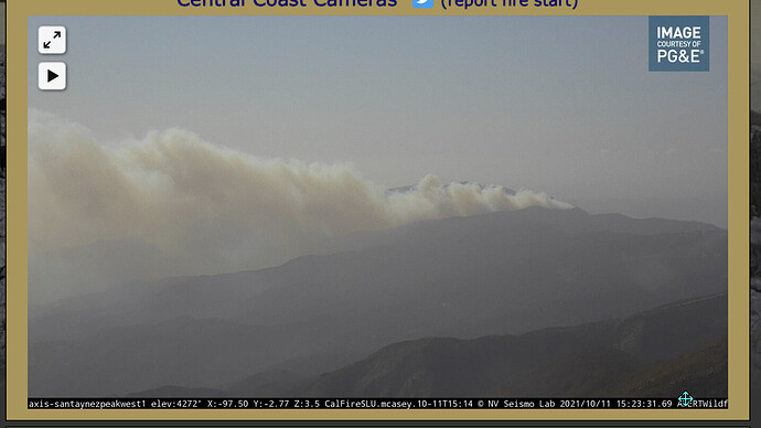
This is from the Santa Ynez Cam 1
Initial temporary ICP @ Refugio state beach @ the entrance to Refugio Cyn And HWY 101. GPS 34 27.872N. -120 4.054W
5 immediate need Type three S/T
2 Lima’s
10 Hotshot crews.
Mandatory evacs for Refugio Cyn.
I heard the report as at least 500 acres potentially 1000.
It was a typo, you got it!
