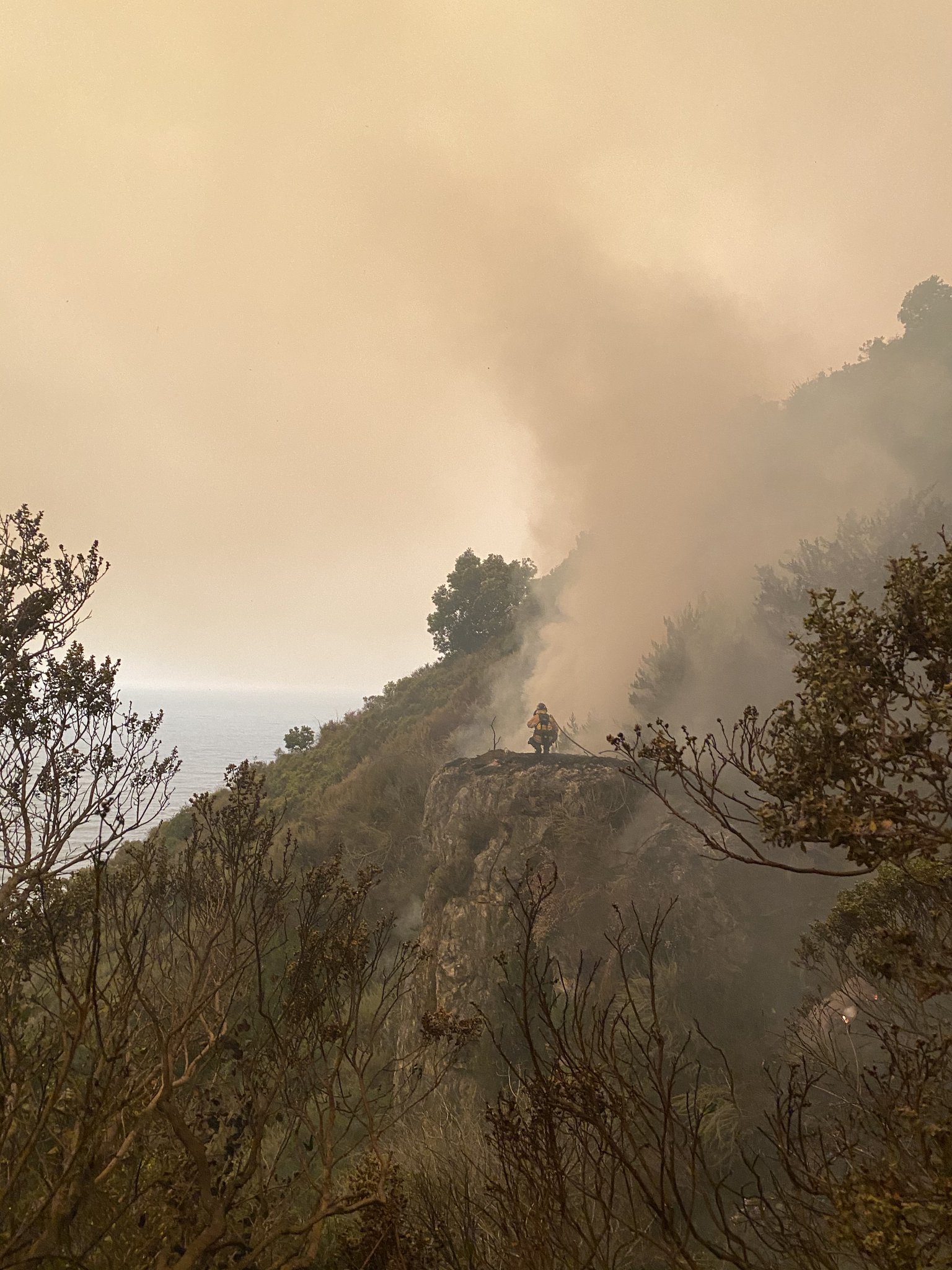
I am at the fire. We are calling it roughly 6,700 acres. It still hasn’t reached Coast Ridge Road, but mostly will today. A lot of effort is going in to protecting the structures and the Hermitage.
8 Likes
Approximate location?
1 Like
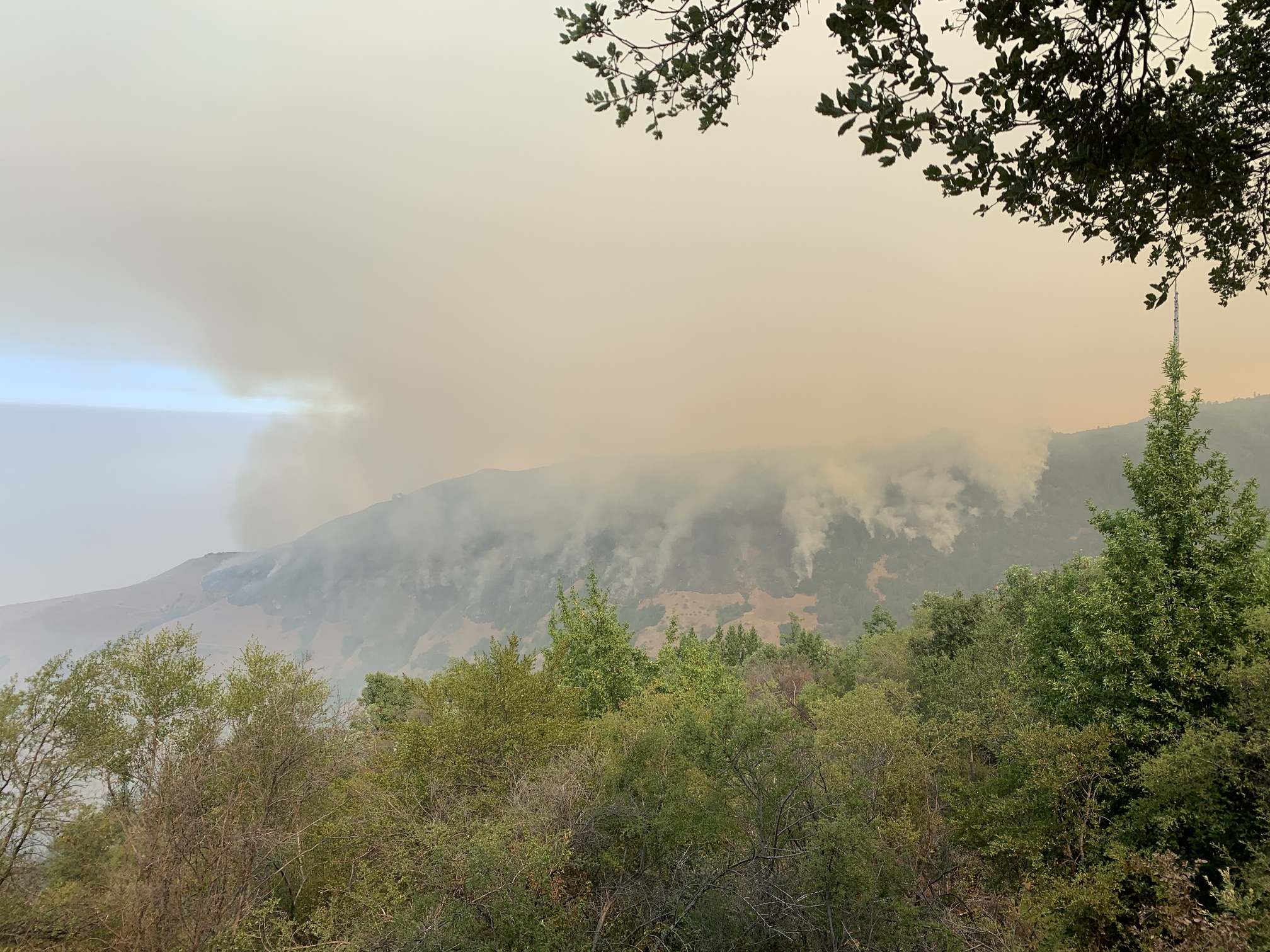
Looking north at Gamboa ridge from south side of Vicente creek
1 Like
Is there an online scanner?
Transitioning to a Type 1 fire team.
2 Likes
Which team?
- CA-IMT1 Team 2 (Minton) will in-brief on 8/20 @ 1000, Monterey District Office
3 Likes
Dolan IC stated it had come down Gamboa Point and is in bottom Vincente Creek drainage.
1 Like
Jumped highway one early this am around 4 am. Don’t know if it is controlled on the west side or not. Several houses on that side, Jumped at MM 30 between Dolan Point and Rat Creek
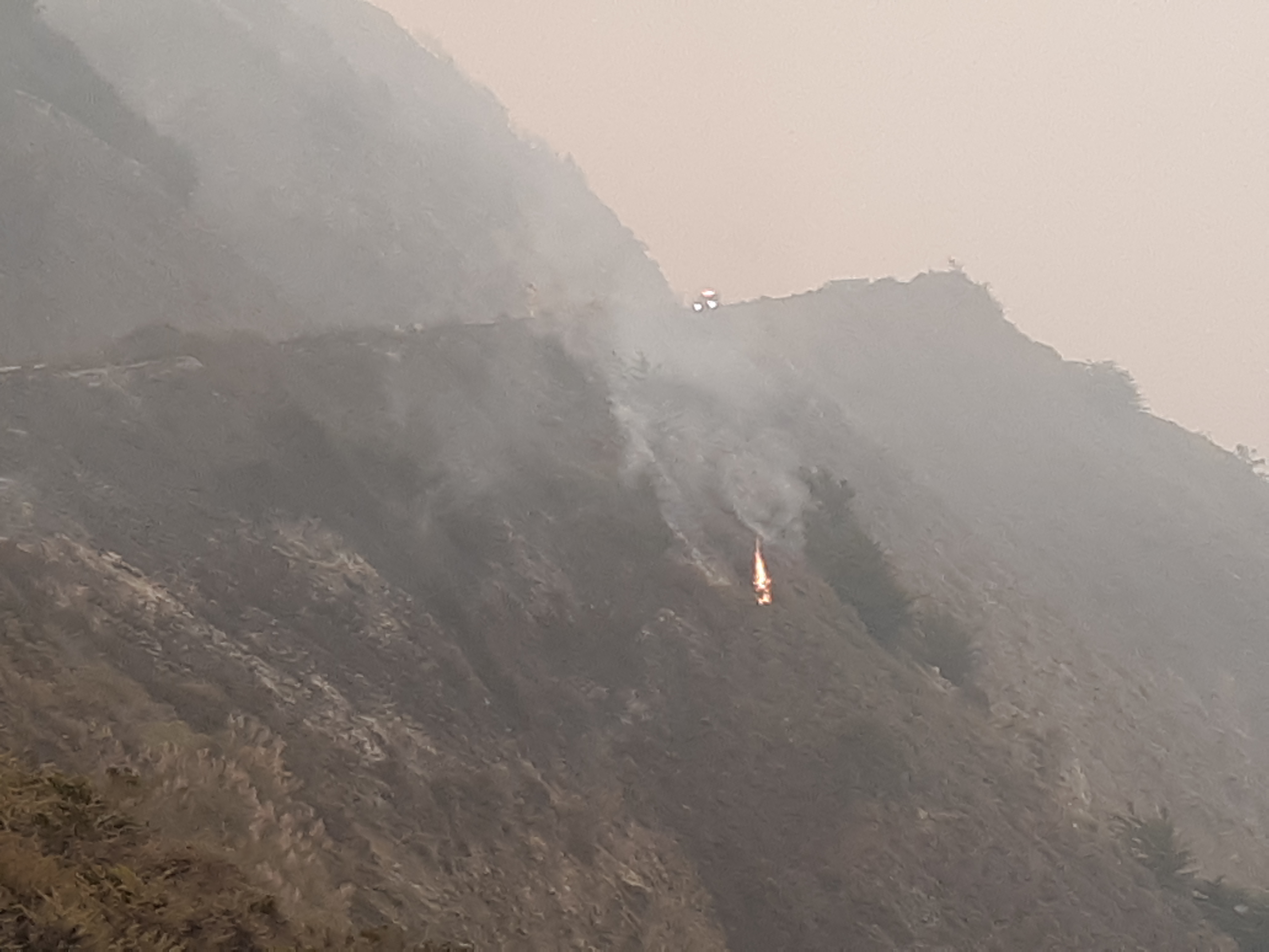
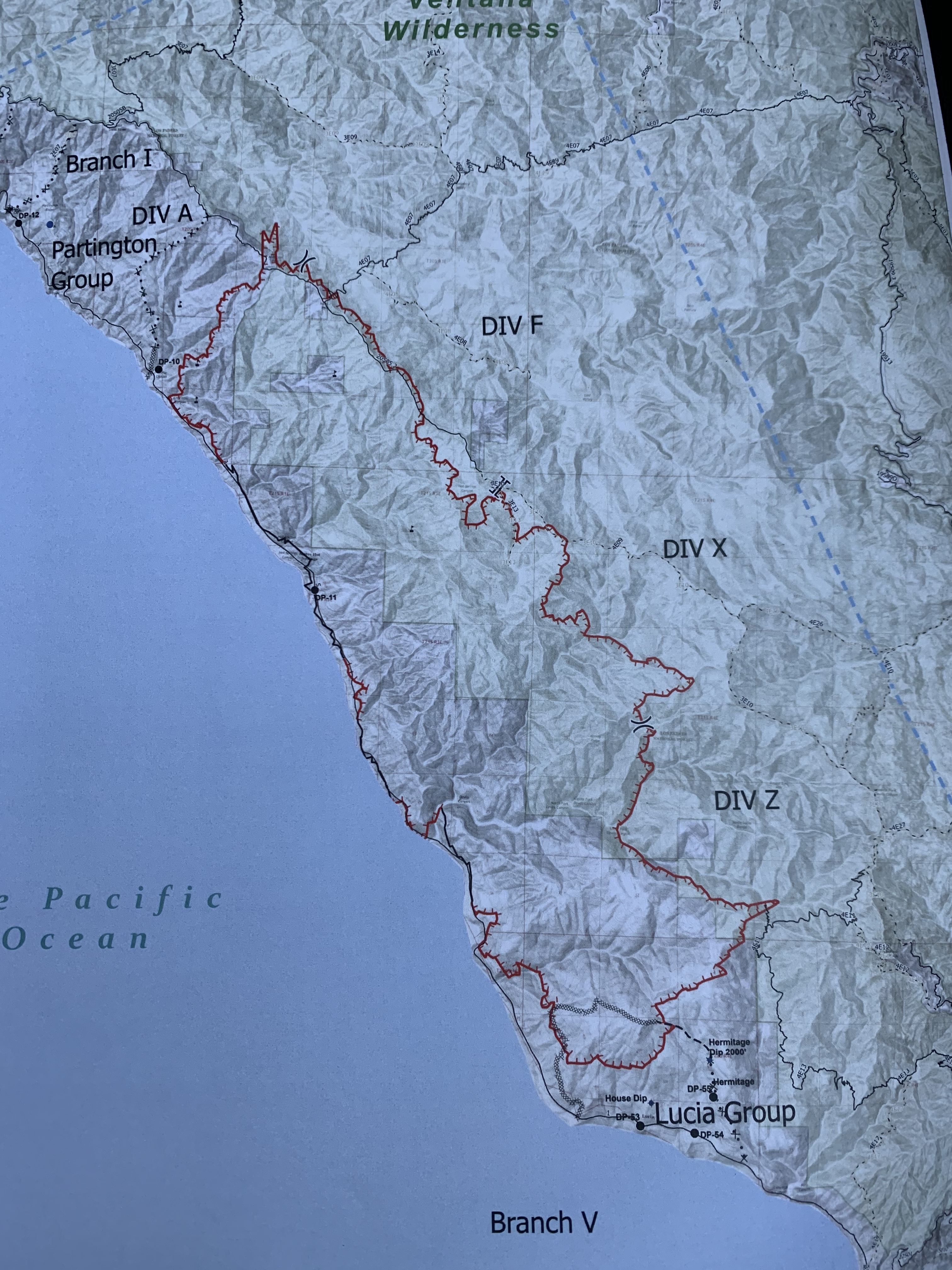
The fire has reached Anderson Peak, crossed the North Coast Ridge Road, made a major push toward Cone Peak, and is wrapping around the north and eastern side of the Hermitage property. When the fire was in line, there were runs with 200 -300 foot flame lengths. The fire spotted over the dozer line that was being constructed around the Hermitage. It is now a matter of individual point protection as the fire moves through all those structures and sites.
5 Likes
That is not good at all. Those are two of our major comm. sites for the Forest.
XLC 1202A just demobed from MOC incident and en route to the Dolan.
8/24 8:00 pm update: 20,091 acres; 15% contained.
3 Likes
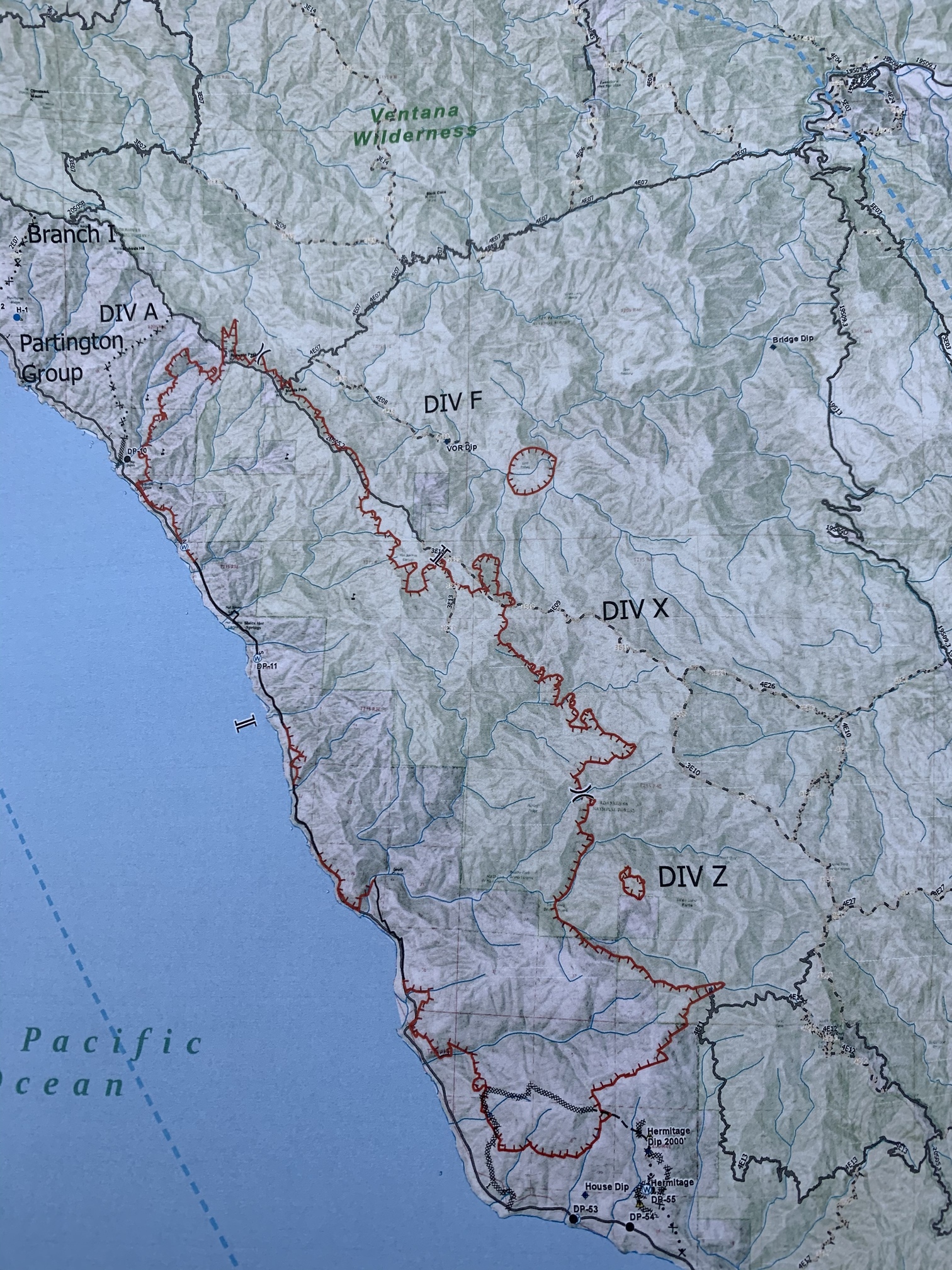
Word is that the large spot east of the DIV F/DIV X break is a mapping error.
2 Likes
I’m pretty sure that is an accurate representation. I heard the radio traffic day before yesterday. Do you have more info?
2 Likes