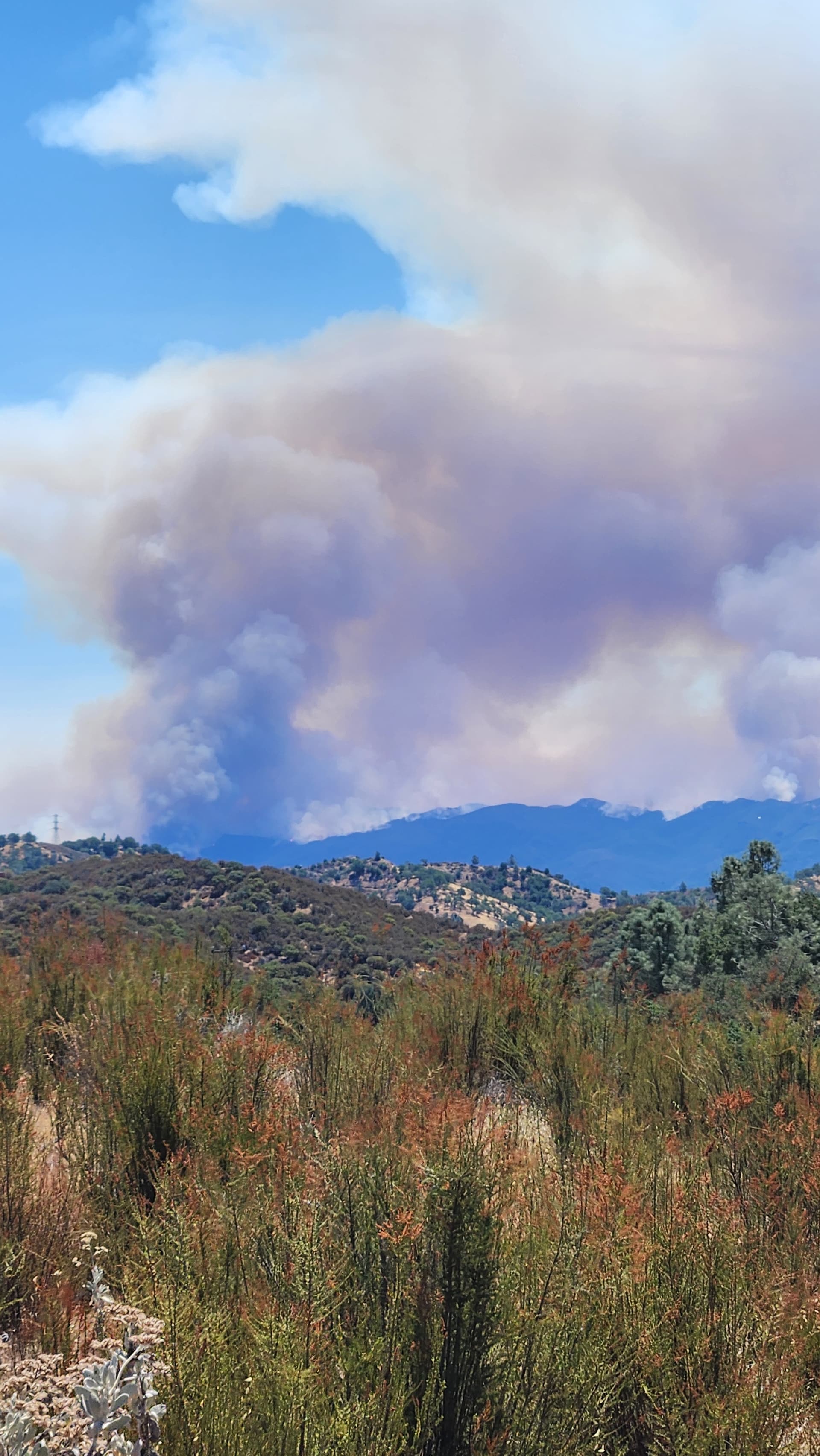
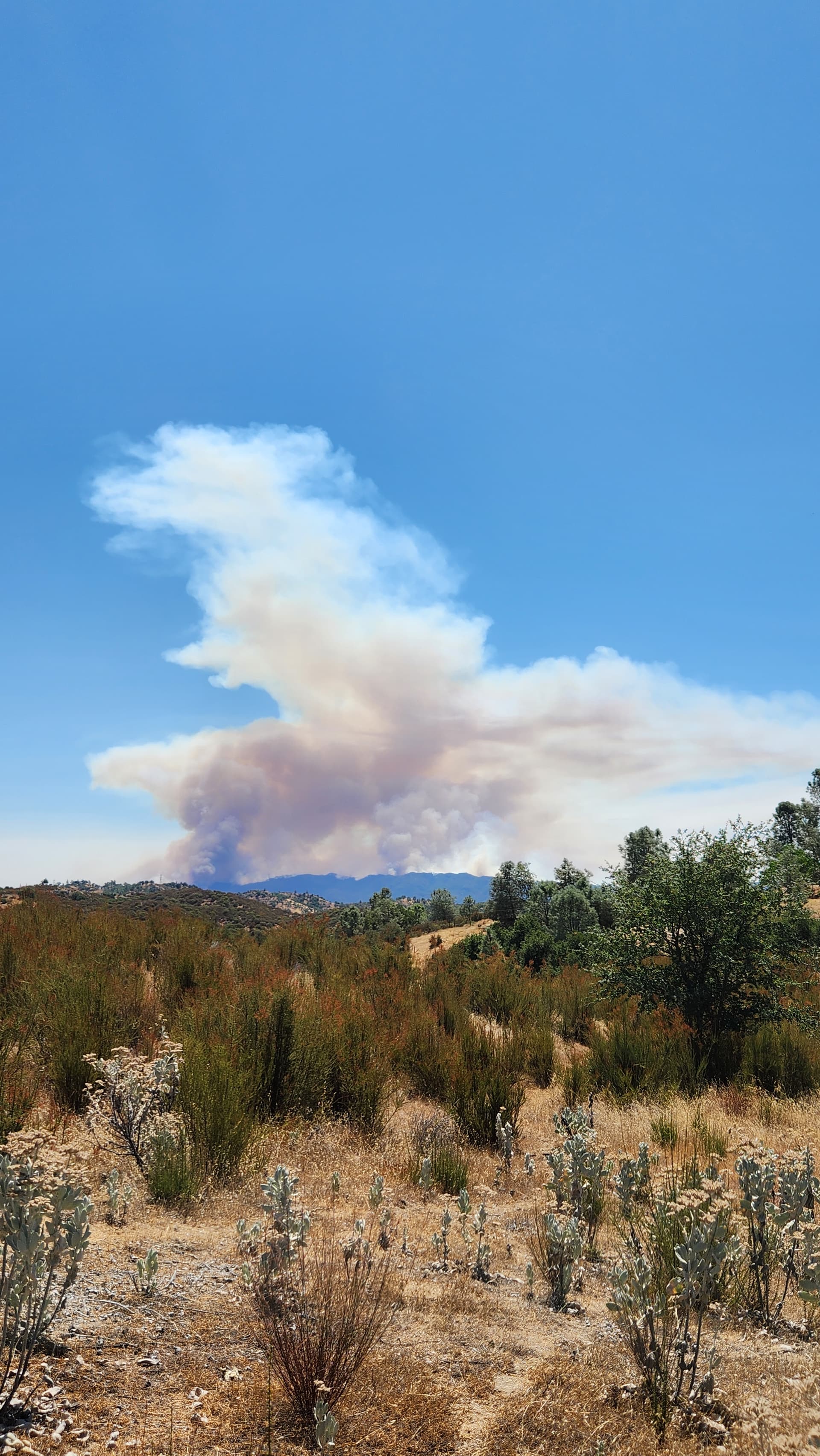
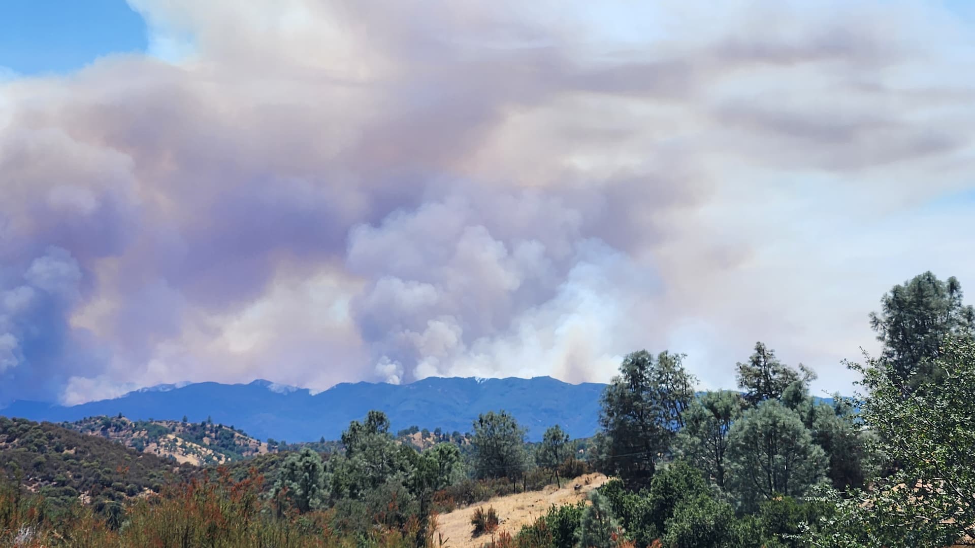
Im 10 miles to the north
6 Likes
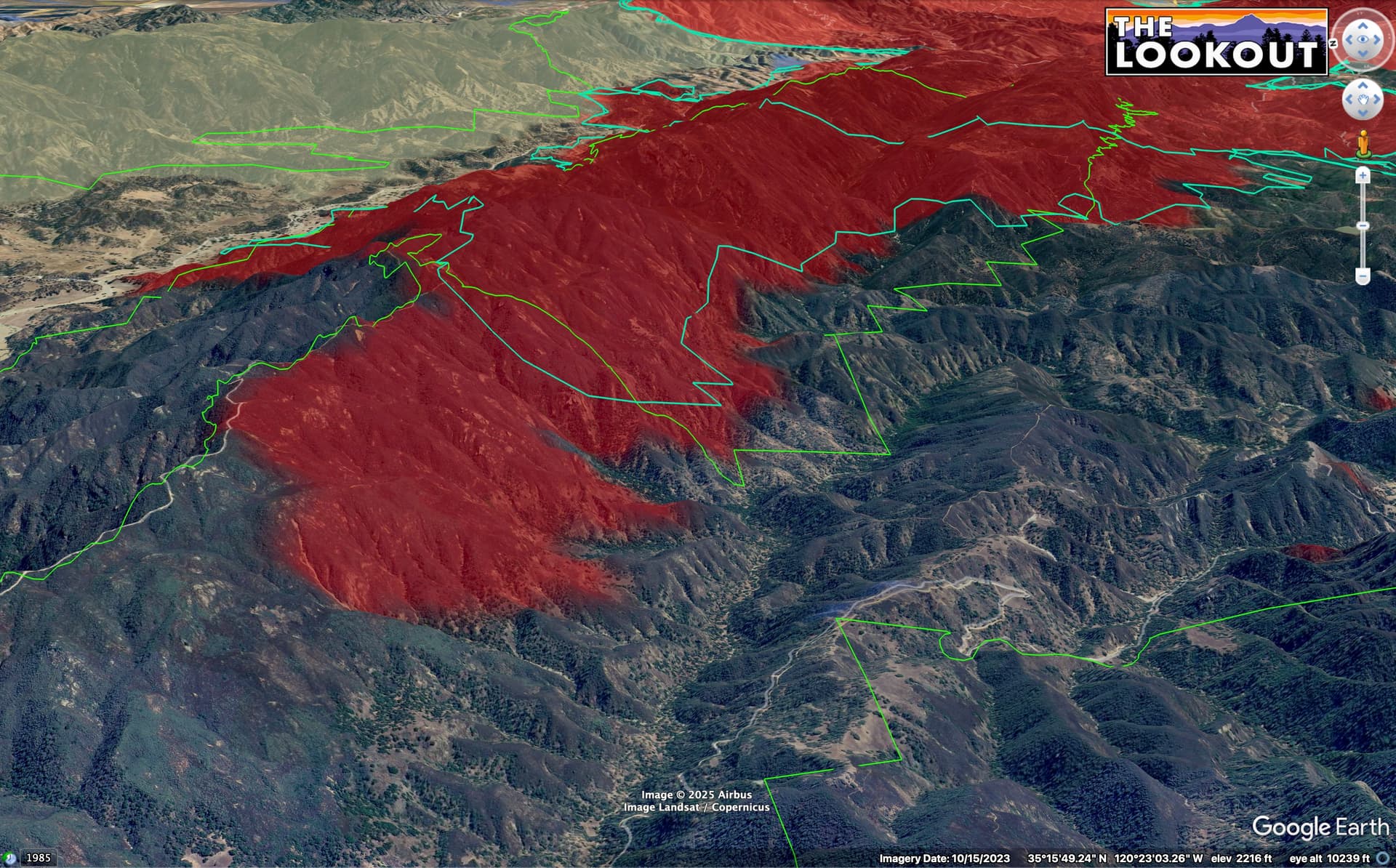
13:30 IR flight showed the fire still in the wilderness, but getting within 1/4 mile of a slope reversal on the west.
7 Likes
Is that canyon where the cut one of the containment lines and laid all that retardant yesterday?
2 Likes
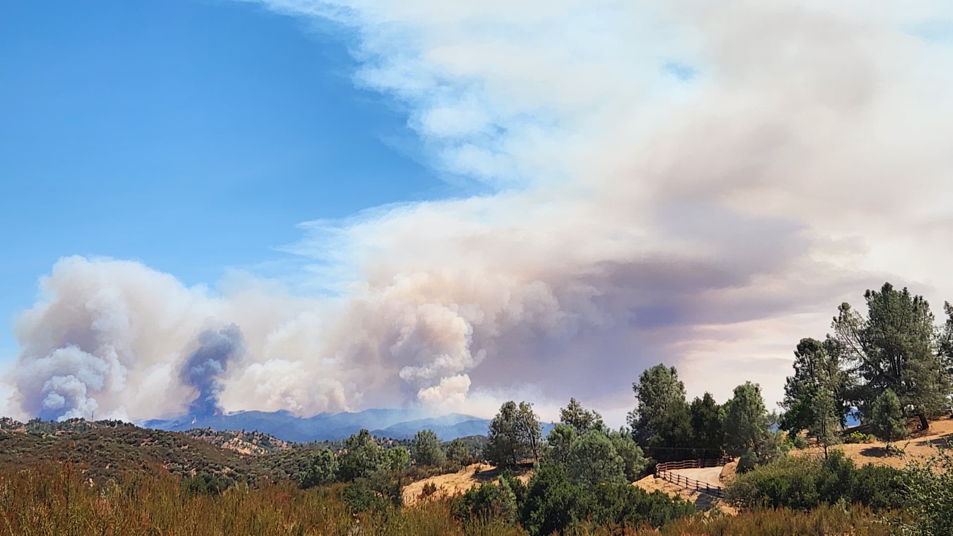
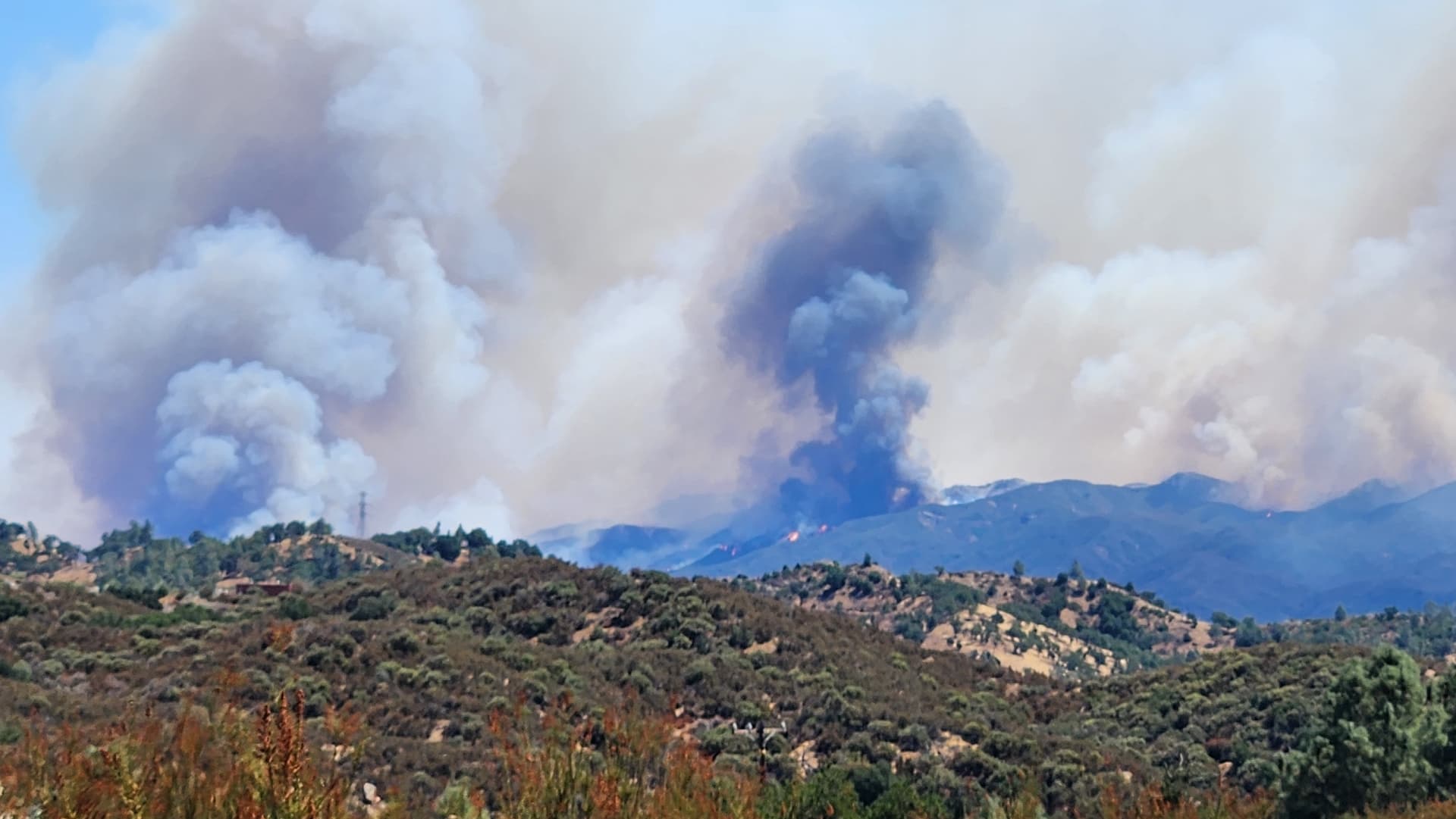
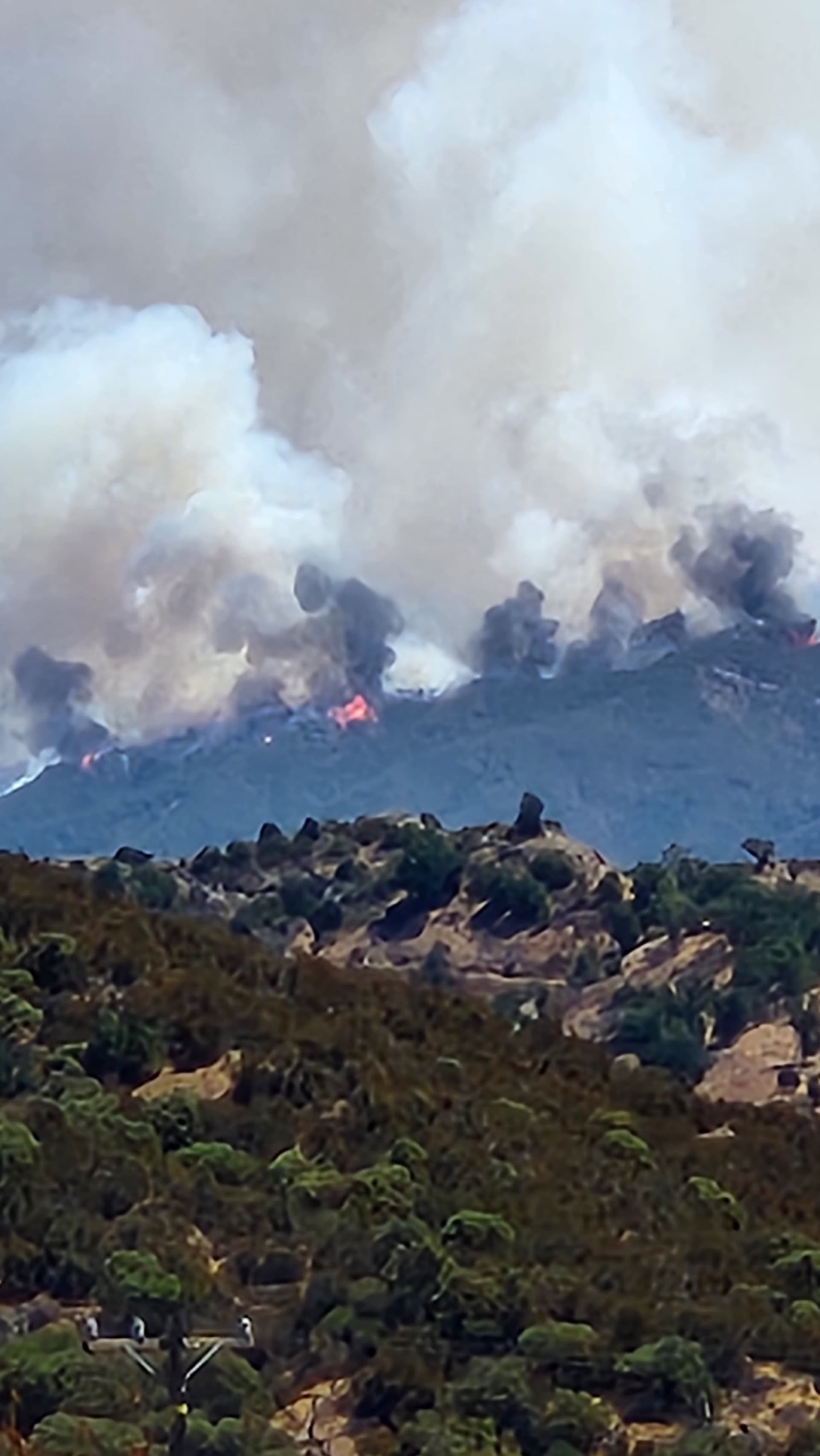
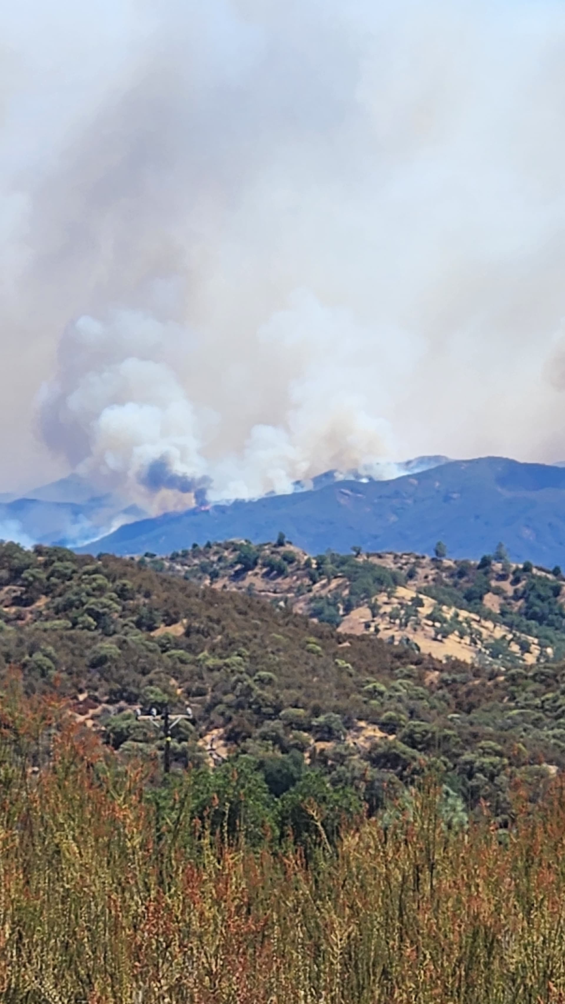
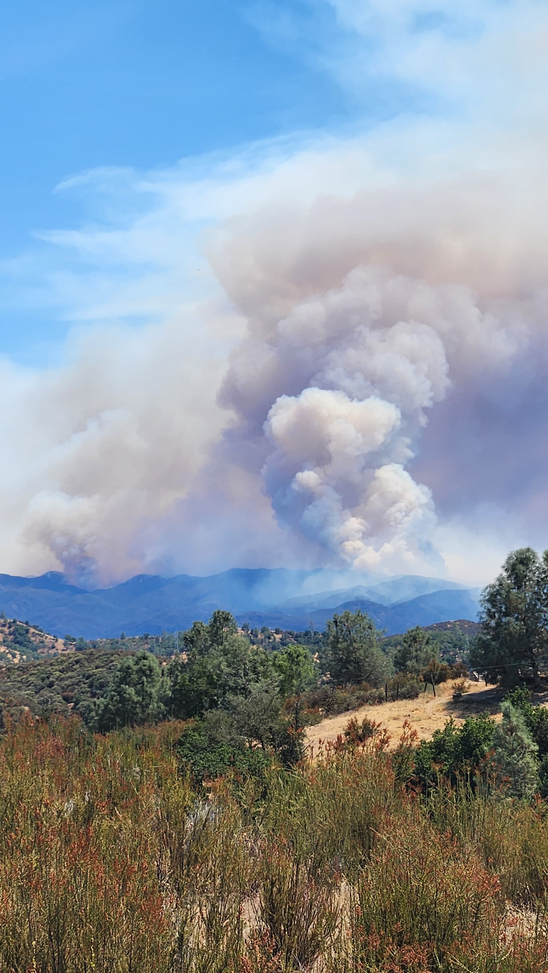
Does it look to you like they held off on firing the line of hi mountain road
1 Like
Thank you for the update
2 Likes
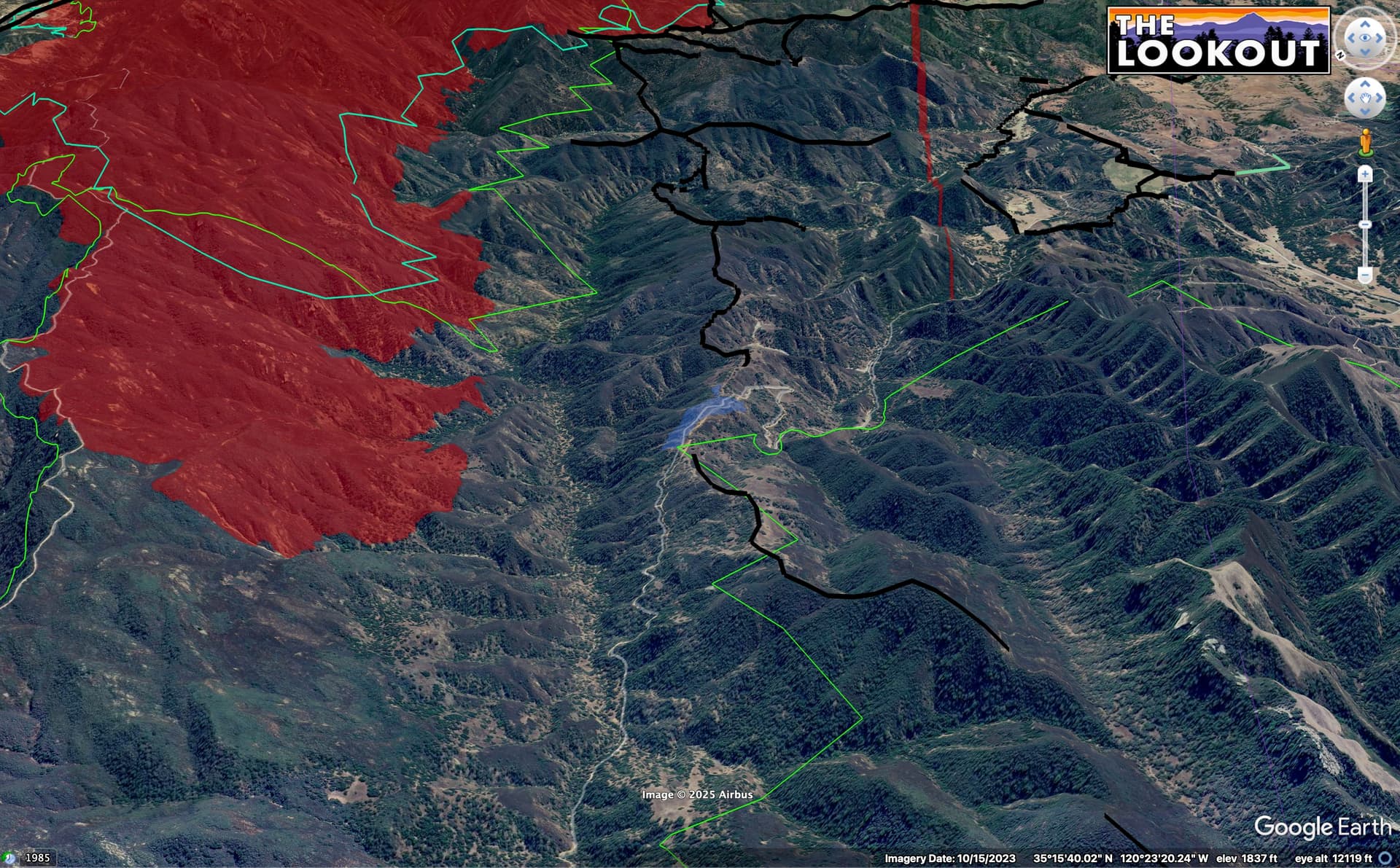
Yes, they have been prepping the Hi Mtn Road, on the right side of the canyon, and a bunch of dozer line (black lines) along it.
5 Likes
As of 13:30 they hadn’t started firing on the Hi Mtn side, according to the IR flight.
3 Likes
Is there a potential for the fire to run that drainage? With enough energy and winds go that change the course of the fire?
1 Like
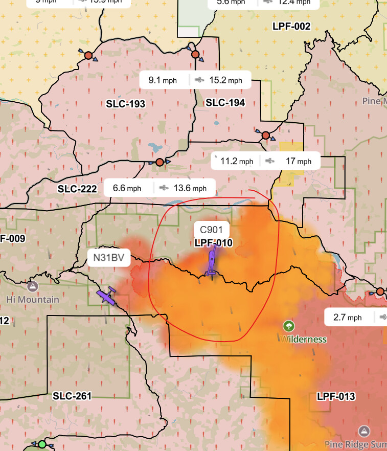
901 swung by Columbia yesterday and snagged the PSD
5 Likes
C-602 popped up also
4 Likes
About 1 hour ago · Aug 12 at 5:32 PM
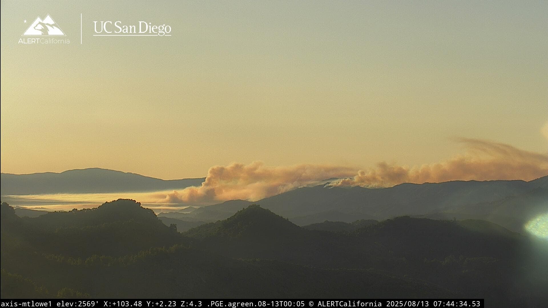
Firing operations began this afternoon. This methodical strategy is aimed at removing dense vegetation ahead of the main fire to deprive it of fuel and help keep it contained within the Garcia Wilderness.
Ground crews initiated the operation along containment lines around the wilderness border. Helicopters were used to ignite steep, difficult to reach terrain along Garcia Ridge. Holding resources are following the holding operations to keep the fire in check.
The operation is expected to finish by mid-afternoon tomorrow. Residents and visitors on the northern perimeter of the fire should expect to see elevated smoke through that time.
Update from Los Padres National Forest
9 Likes
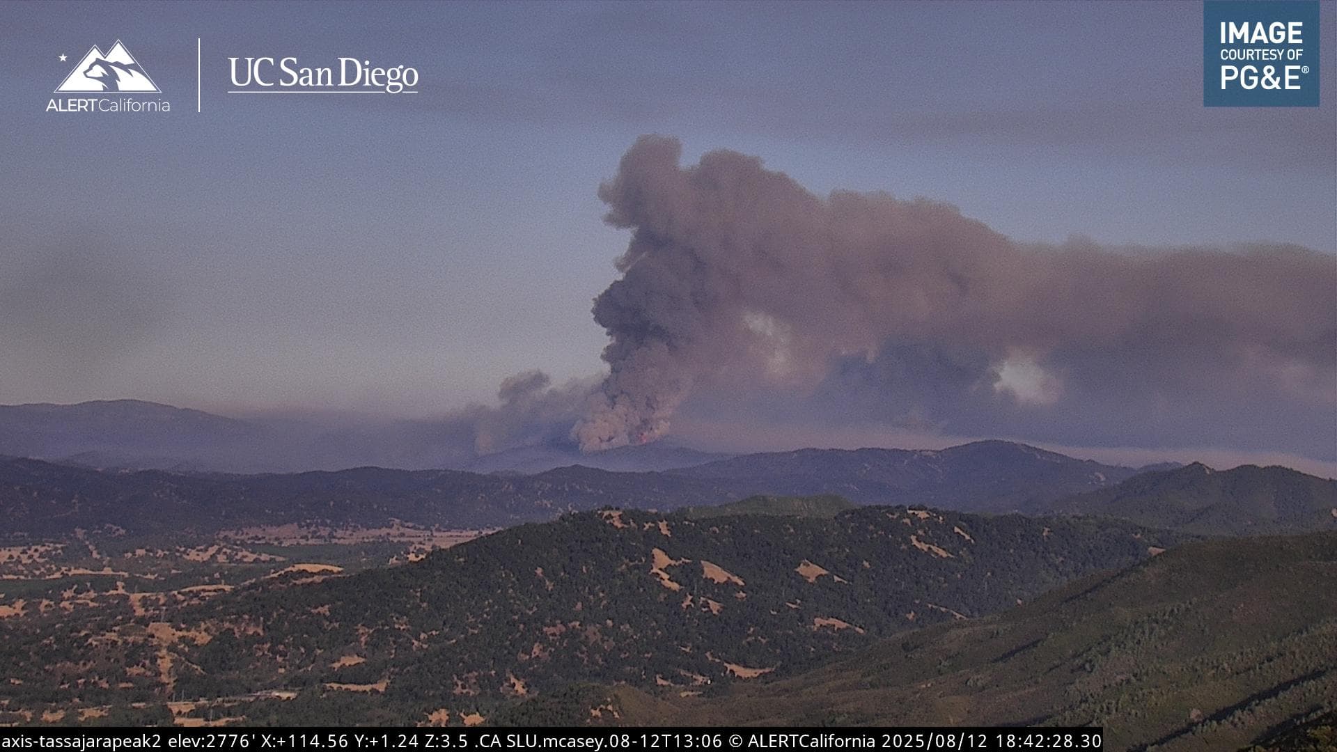
129,622 acres (estimate) from the flight last night/this morning…
Large areas of perimeter growth and intense fire were detected at the northwestern corner of the fire perimeter.
Large areas of scattered fire were detected primarily in the northern portion of the fire perimeter.
Isolated fires were detected throughout the entire fire perimeter, but were most numerous in the lower two-thirds of the fire perimeter.
Acreage -
Starting Perimeter Source - Incident/NIFC
Starting Perimeter Date/Time - 12 August 2025 0543 UTC
Estimated Acreage: 129622
Acreage Change: 7577
3 Likes
Does anybody have info, if they were able to hold it on line at hi mountain road? Or has it jumped the line?
2 Likes
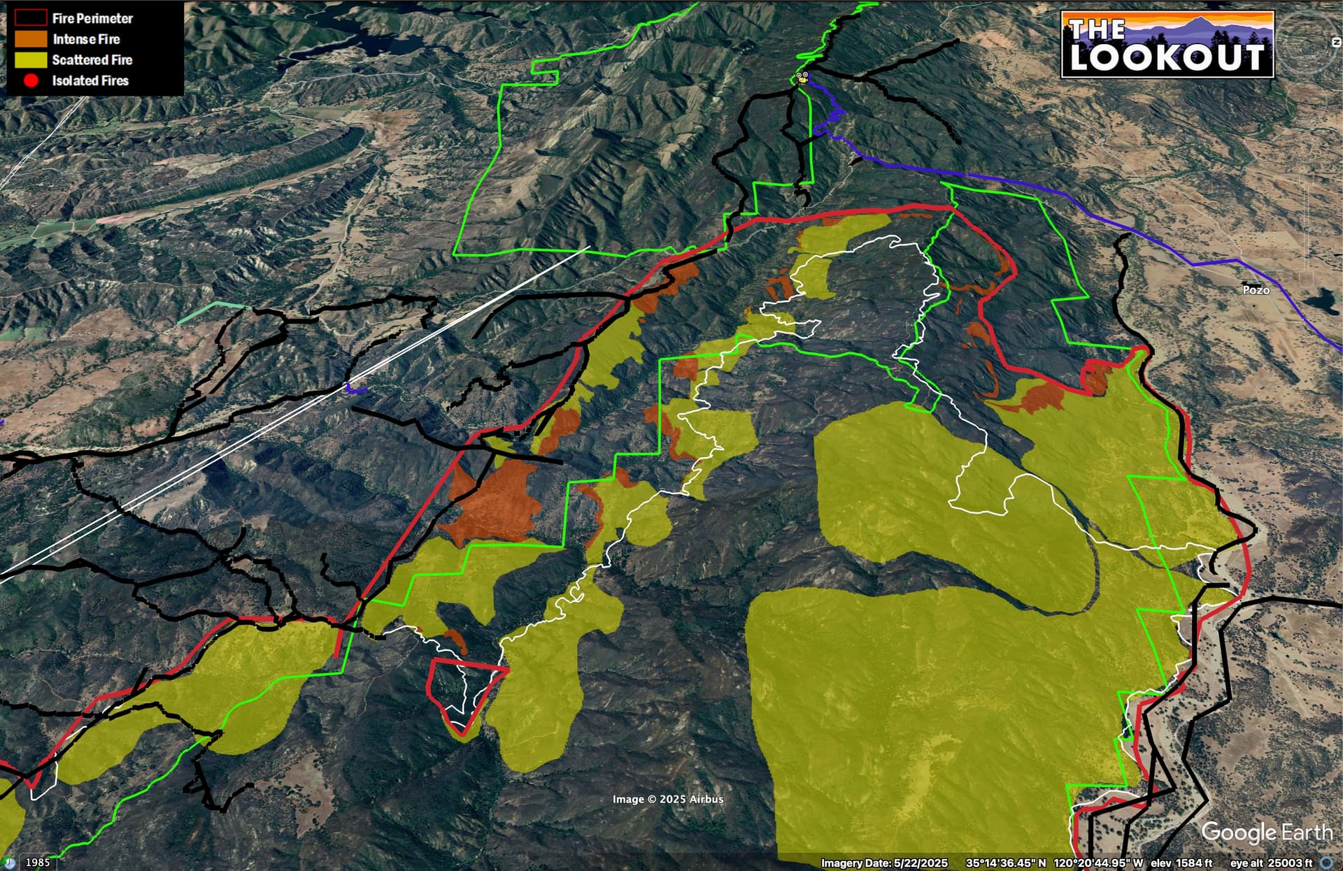
Here’s a view of the Hi Mountain Road corridor IR from 2am.
Black lines are dozer lines. White line is yesterday (8/12) 13:30 perimeter. Green lines are wilderness. View to west.
8 Likes
It looks like a small slop over the line on the West, assuming this was picked up?
2 Likes
It can be hard to tell what is a mapping error, on the IR. I’ve been trying not to interpret it too tightly, since I have pretty limited intel from the field. The one little finger in the middle runs up to a ridge that looks like it had a two-track on it before the fire, so I was thinking there is probably dozer line there that wasn’t mapped.
3 Likes