Gotcha, thanks.
1 Like
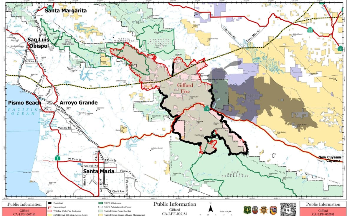
Acres: 128,974
Containment: 37%
Throughout the night, crews carried out a strategic firing operation, taking advantage of favorable conditions to slow the fire’s spread and reinforce containment lines around the Garcia Wilderness. To ensure that the operation stayed within the containment lines, crews worked to identify hot spots or smoldering areas, aided by water dropping aircraft. On the south side of the fire, firefighters continued to monitor the area for smoldering heat sources.
Today, firing operations will continue in the Garcia Wilderness to complete that operation. Residents and visitors near the northern perimeter of the fire should anticipate elevated smoke. Firefighters will continue to improve fire lines on all sides, mopping up where needed, and patrolling the perimeter to ensure the fire remains within containment lines. Extra resources are ready to respond quickly if new spot fires start.
With school starting in Santa Margarita, where the incident command post is located, officials are coordinating with the local sheriff to set up a special route for firefighters exiting camp that avoids crosswalks and helps keep children safe on their first day back to school.
Weather: Slightly cooler but dry conditions will continue today. Ridgetop winds will shift between northeasterly at night to north-northwesterly during the day with gusts near 20 MPH possible in the afternoon/evening. Temperatures will continue to cool tomorrow with higher minimum relative humidities expected during the afternoon.
7 Likes
Curious where you got this info from
2 Likes
This looks like great news! Thank you for your work!
3 Likes
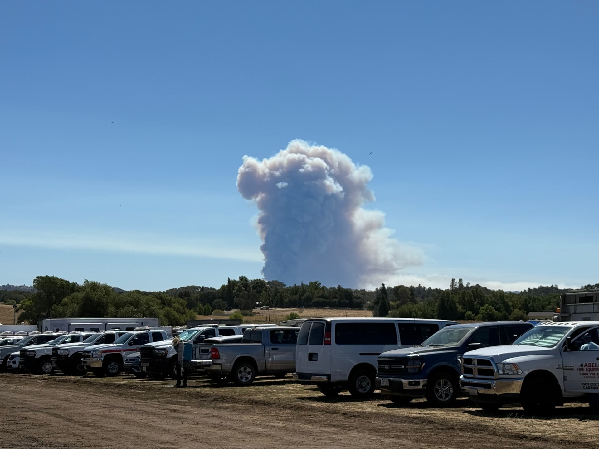
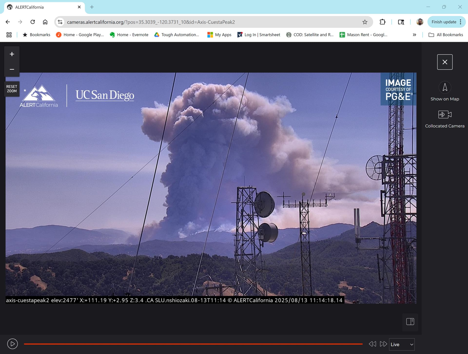
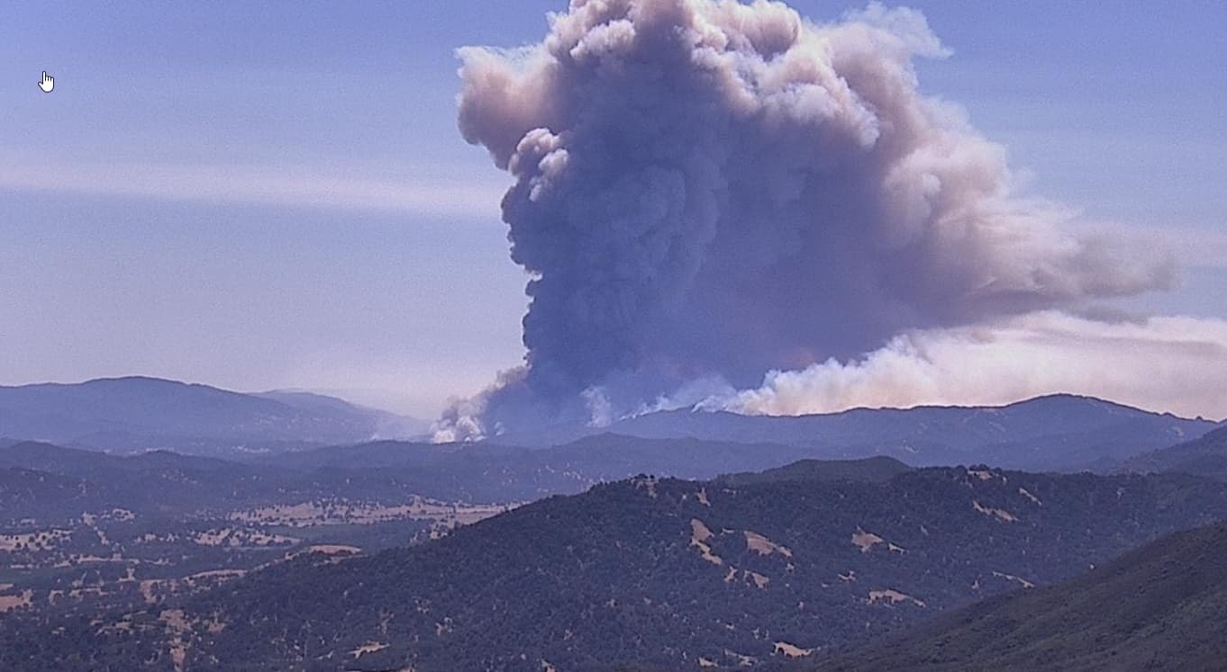
Wonder what the energy release / BTU’s of that “mass” of fire is!?
3 Likes
Fire perimeter on watch duty shows a little slop over on hi mountain road not sure how accurate that is?…i congratulate the crews on there hard work if they have this thing stopped but at the same time wish it wasn’t such a political no no to let it keep burning the wilderness and national forest. All the resources are already in place to keep it in the mountains and structure protection. Seems like a good time to do some forest management.
6 Likes
Beware.. You’ll get serious side-eye from the Mod’s if you/we entertain this subject much further. Speaking from recent experience (see above regarding such talk of managing vs suppressing vs combination, etc) And i dont mean that as a bad thing - its just a subject for a different thread. Very deep & slippery slope! You are not alone in that wish/thinking..
6 Likes
See above, @pyrogeography explains this somewhat,.
4 Likes
A few Mil lol?
3 Likes
It came from the last mapping flight summary on the FTP site
3 Likes
Longest term controlled burn?
3 Likes
We were part of one on the McNally (SQF) that went on for days, and went from between 9,000 and 10,000’ to 6,000’ elevation.
7 Likes
It’s looking angry must be a pretty big burn
3 Likes
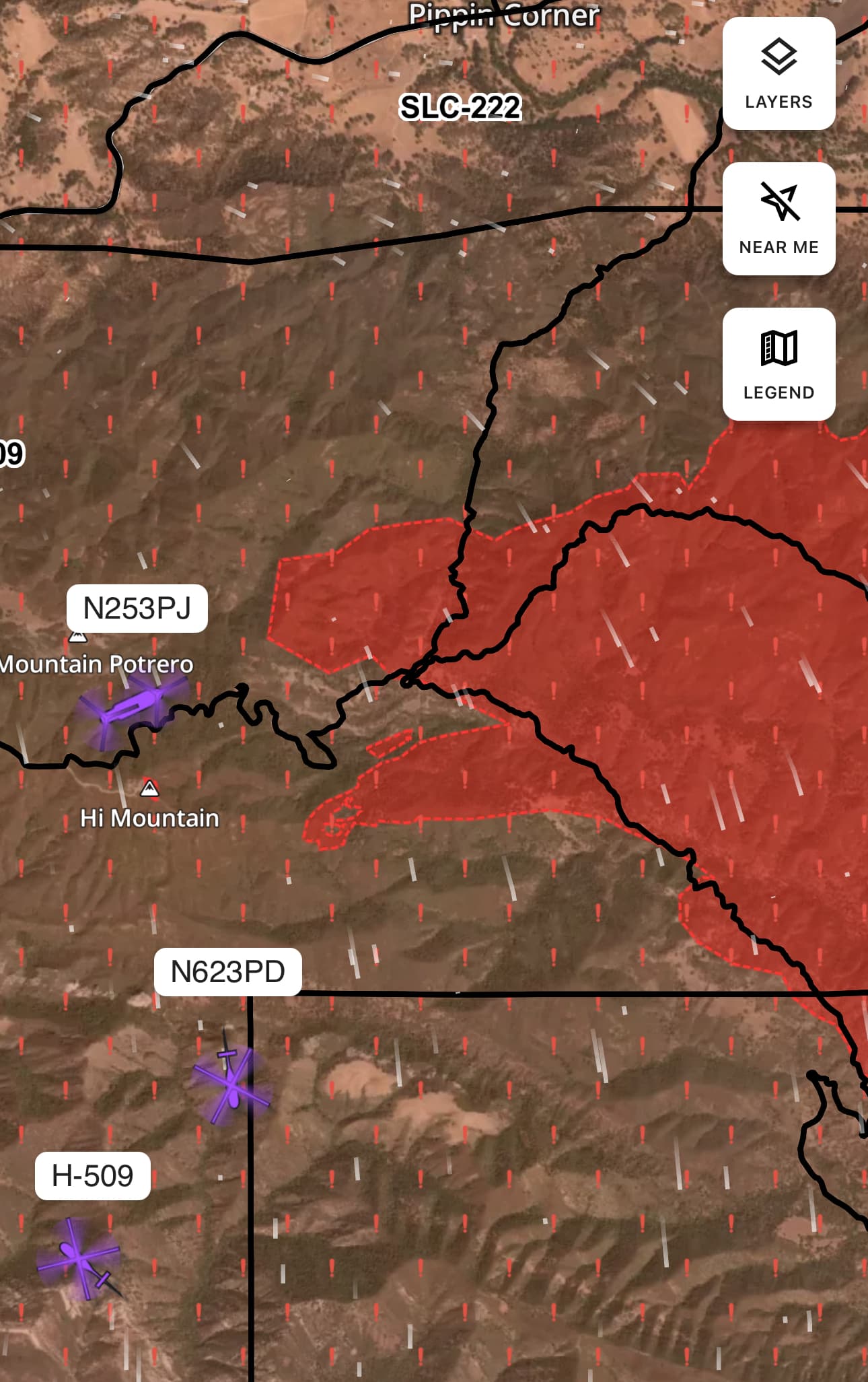
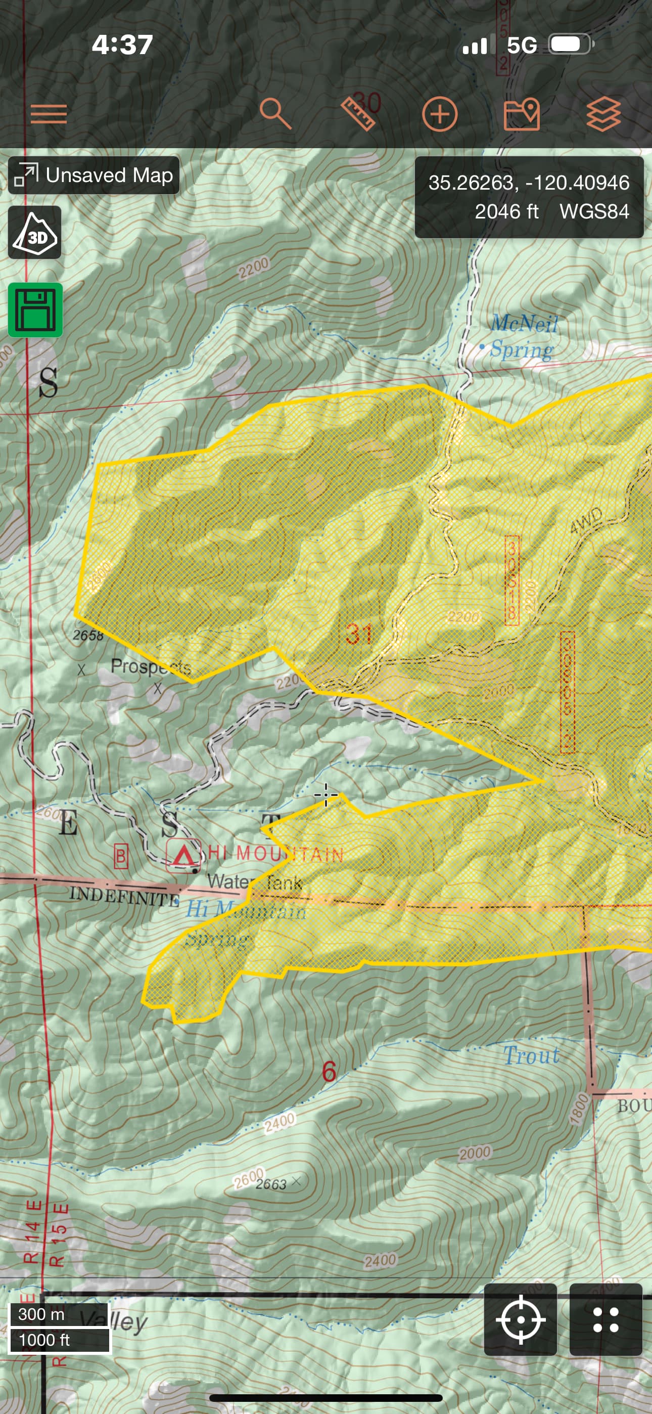
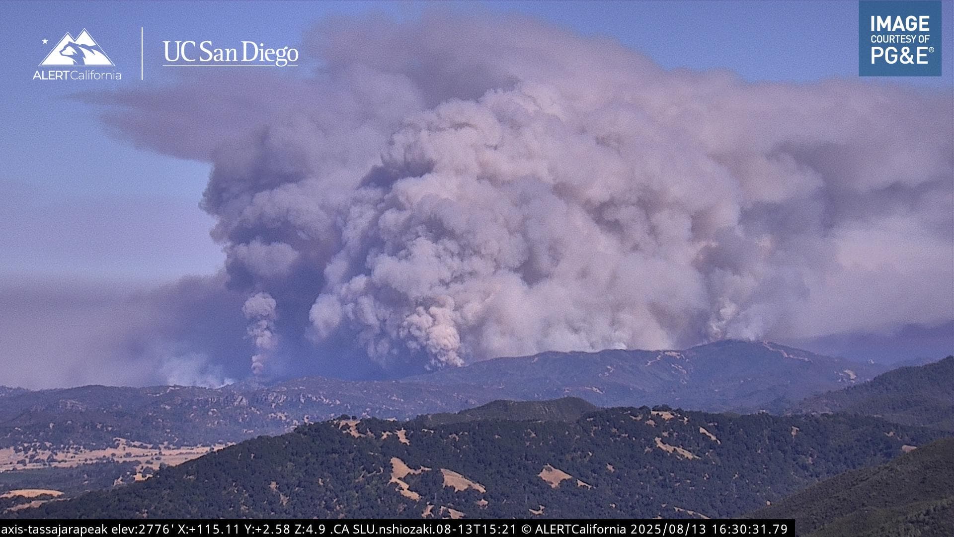
If I’m not mistaken, I think you can see the firing progressing down the breaks on the Mt Lowe camera
3 Likes
I don’t think it’s a burn. Sheriff Officers is flying around, probably getting to evac
2 Likes