According to AA, there is an additional spot below the slopover which is getting established.
5 Likes
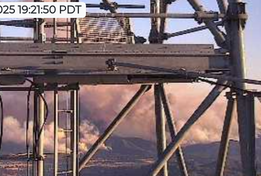
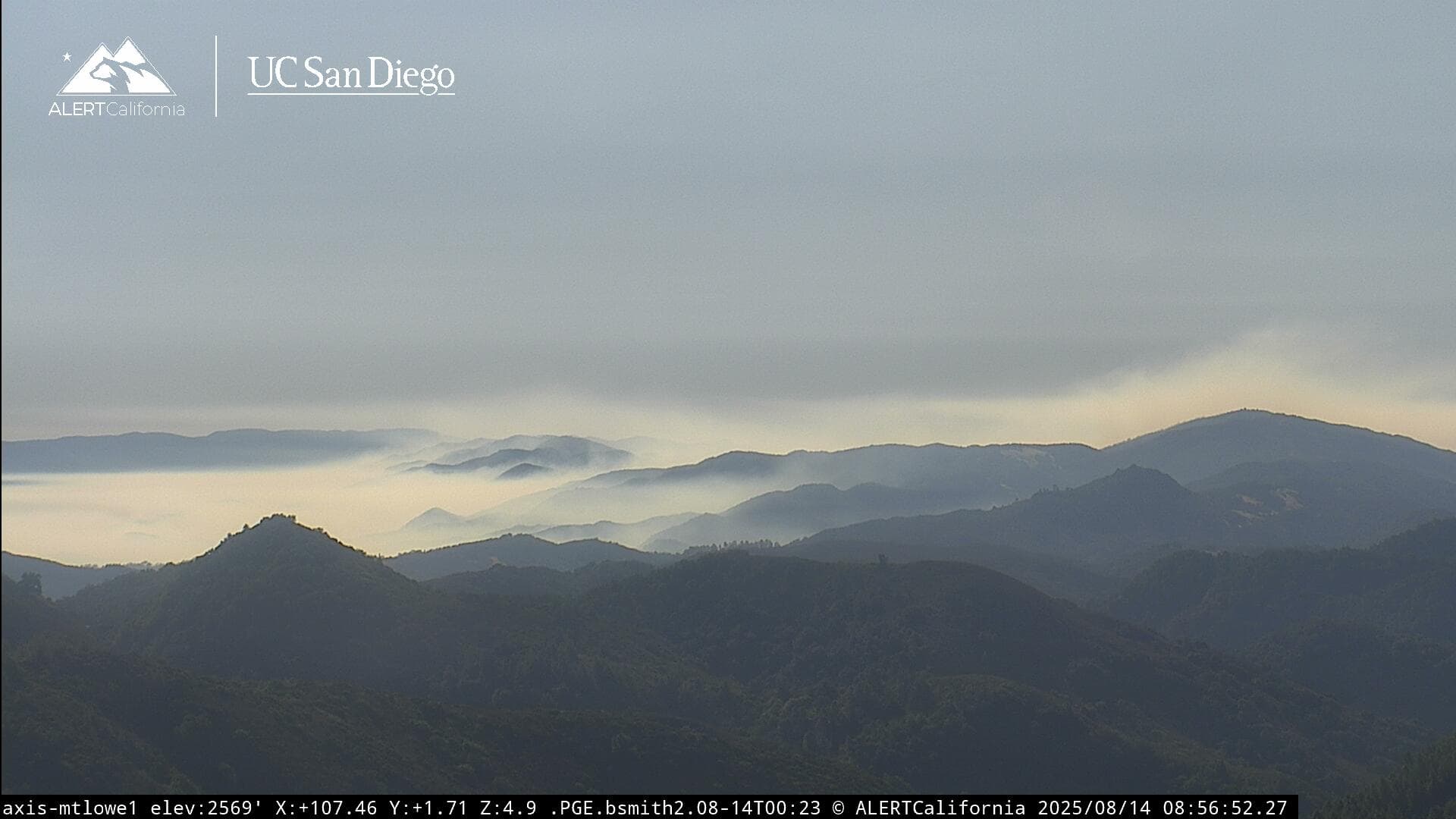
Taken from the Lopez camera.
")
4 Likes
Per AA, “The spot has a head of steam.” Darn it. I was really hoping this would go smooth.
9 Likes
Well..
At lest they didn’t say spots?!
1 is not great but it’s still better than many. idk…
5 Likes
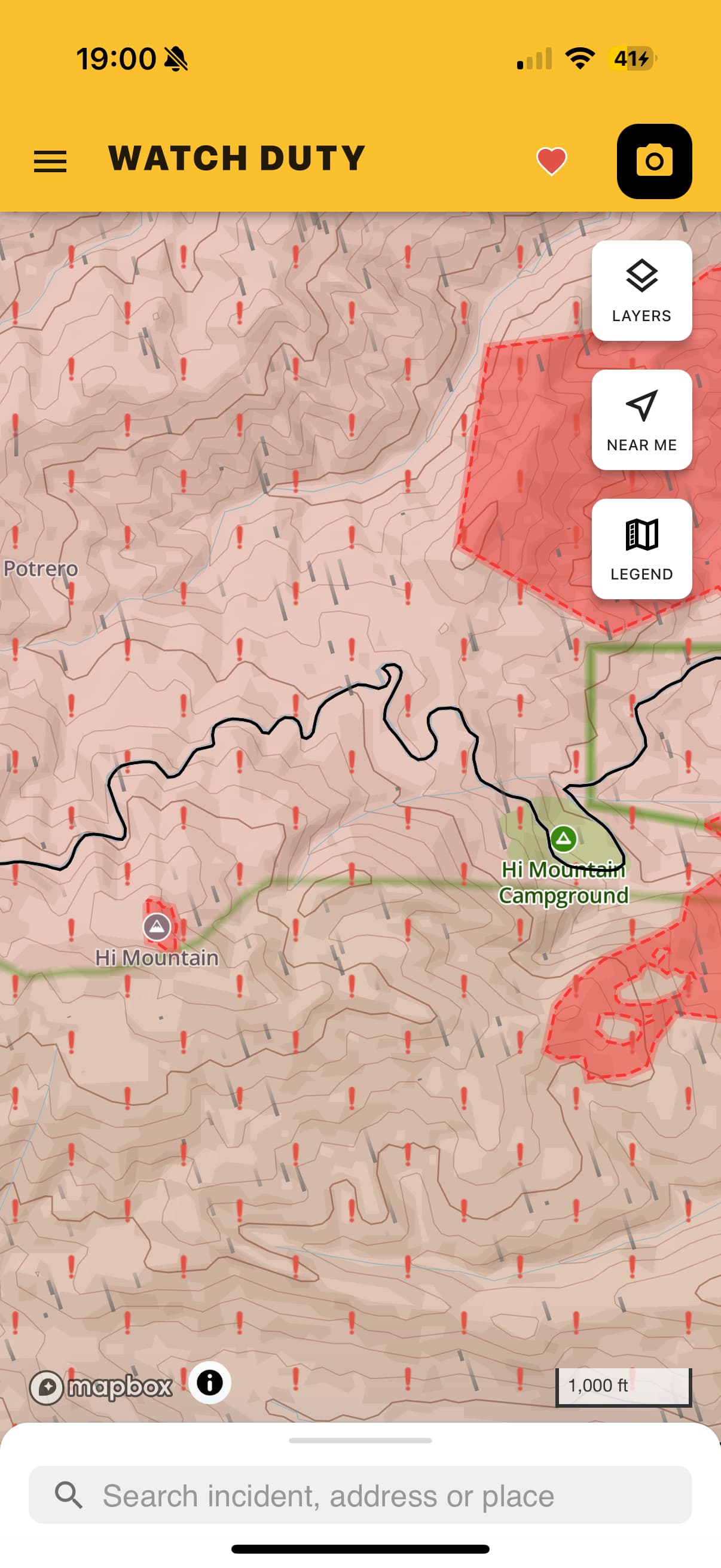
Smoke column intensity seems to be dying down, they might be getting lucky and are holding it within the canyon hi mountain campground is in. Based of the maps the lookout has provided us they have dozer line all around that area and it looks like they where firing the line on a ridge visible from the loose cam earlier
2 Likes
They’ve definitely burned some ground. Things are beginning to look a little less intense. Hopefully tonight they’ll tighten the lasso.
4 Likes
Idk.
Don’t have that intel and its better (for me) not to speculate..
2 Likes
They fired that section and took it north. They are about to tie in the north side towards pozo now.
5 Likes
There’s still a ways go, but all things considered this complex operation is looking solid. Slopovers/spots are all part of these things when you’re working on the edge. We learn so much when things are getting “sporty”. Hats off to the crews and IMT for taking this on. Looking forward to the morning and seeing how we’re looking after the dust settles.
13 Likes
No name/unit/engine number on bag…rookies!
9 Likes
Night helco is going to be with a Santa Barbara county ship. Also have n15hx.
5 Likes
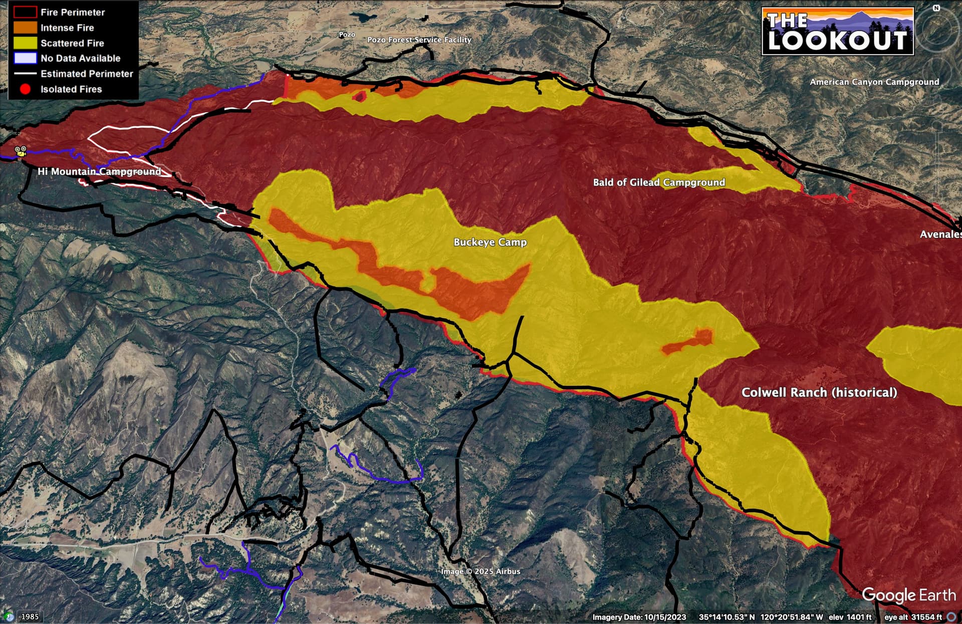
Here is updated mapping (9:45pm) of the #GiffordFire. The fire appears to have largely stayed within the primary and contingency lines, today.
10 Likes
Gotta admit i’m a bit surprised that the new King Fire heat signature to the east is MUCH more pronounced on the GOES than Gifford this a.m. Also, really liking that more pronounced push of marine influence than previous days.
5 Likes
Gifford IR flight from 00:45 is missing the data for the most interesting part of the fire, at the head…
Elsewhere it appears to show some minor slops over dozer lines on the NW flank, but it is always hard to tell if these things are mapping inaccuracies either in the mapping of the dozer line or the heat, without intel from the ground.
5 Likes
Looking at the cameras this morning and watching the 12 hour play back, looks really good! Strong work to all the crews involved! Reminds me of the Park Fire where the fire forced our hand to fire off the 36 between Mineral and Mill Creek. There was a lot of skepticism on whether it would hold. And just like this fire, couple of spots and a slop over but because of the solid work by all involved it held! Hope this does the same!
9 Likes
Current Situation: Yesterday, the large column of smoke was due to a strategic firing operation. Good progress was made in the area where Caldwell Trout Creek intersects with Hi Mountain Road. The fire’s progression largely remained within the constructed containment lines. Some spot fires were observed but were contained using contingency lines established in the Santa Lucia Wilderness. These efforts were supported by water-dropping helicopters.
Today, our top priority is to maintain the fire within the established containment lines along Hi Mountain Road to the north. Crews will continue to search for potential hot spots, using water dropped from helicopters to assist in this suppression effort. We anticipate that the completion of this work, along with improving weather conditions, will help slow the fire’s progression along most of the northwestern flank.
The southern perimeter of the fire saw only isolated smoldering near uncontained sections, while in the San Rafael Wilderness, crews systematically addressed isolated heat sources to limit further activity. Mop-up and patrol of these areas will continue today.
Weather: Dry conditions continue as temperatures cool into this weekend. Humidity will rise to less critical levels as a result. There is a chance of gustier winds tonight, particularly on the northwest side of the fire.
4 Likes
9 Likes
Inversion has set up in the Pozo valley. Temps much lower than previous mornings.
It will wake up a little later…
2 Likes