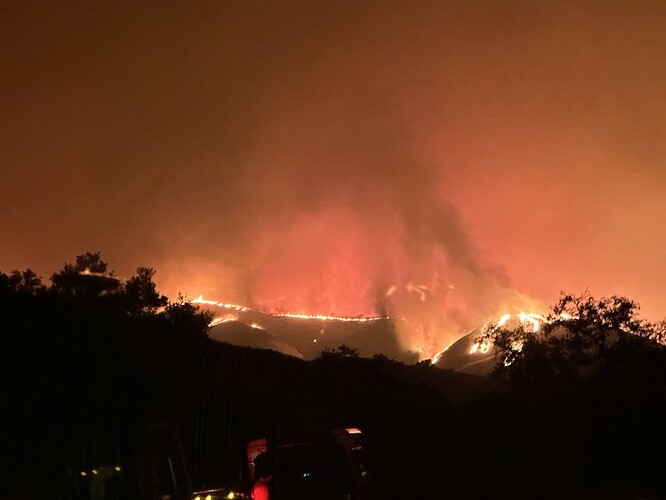
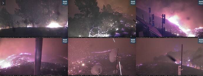
Zaca Lake resort entrance. Spotting 1/4 mile out.
Fire is about to impact Foxen Canyon Road.
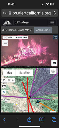
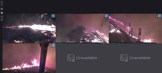
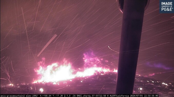
Grass 2 is even wilder. With the fire moving so fast, and being so close, I doubt AlertCA can get anybody in there to kiss that camera goodbye. I don’t see anywhere near enough defensible space or clearance by the photos.
Edit: looking at the wide angle, it looks like the fire has already spotted beyond the camera.
Looks like the fuels around it may have been light enough for it to survive
Ironically it looks like the spotting actually helped saved the camera since it did not take direct head fire
4673 acres, could even beat the 07 fire which did 11k in 12 hrs….
Anyone have a DPA map for the area?
Thank you for the map
I still have the Tee shirt form the Zaca from Last time it burned shortly after Michael Jackson passed. IF I remember right it burned about 240K acres back then and was threatening New Cuyama area… 17 years of growth into othe old burn area.
https://ops.alertcalifornia.org/cameras
![image|427x500]
(upload://a4fImaN5ePz6fC1AabQxFxfj1J6.jpeg)
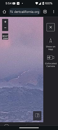
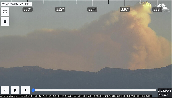
On the Refugip camera it is quite smokie, but if you zoom in you can see a line of fire coming out of the mountains. I believe this is the eastern flank .
looks like Grass Mtn Cam survived the burnover this morning.
Has anyone heard the resource requests?
Looks like it’ll probably be Team 13, they were put on Prepo yesterday
