State ID: CA
3 letter designator: LPF
Fire name: Mill
Location: Big Sur CA
Reported acres: Unknown
Rate of spread: Unknown
Report on Conditions:
Structure threat:
Resources: BC11LPF E15LPF 4X4 E18LPF E319LPF HEL527LPF PAT17LPF Q PAT18LPF Q
Hazards:
Weather: https://www.weather.gov/spot/php/forecast.php?snumunum=1912991.0&lat=35.99841581931216&lon=-121.4892778407866&z=14
Radio channels:
Scanner link:
Webcam link:
Agency Website:
Other good link: https://bigsurkate.blog/
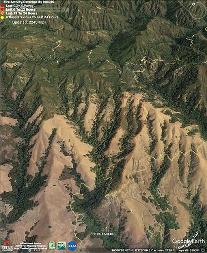
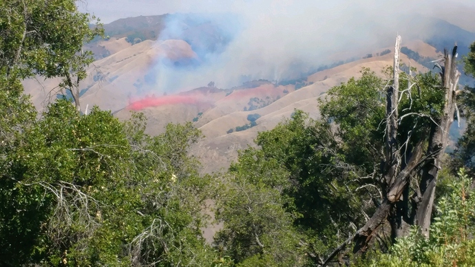
Other notes: Fire appears to have started overnight off Nacimiento Ferguson Rd. Above Mill Creek with Kirk Creek to the west. Lots of potential.
Sounds like it’s toward the summit of Nacimiento-Ferguson Road. Over 10 acres, in heavy fuels.
Per CHP the fire is 5 miles up the NF road from Hwy. 1 on the north side of the road. For reference, the summit is a little over 7 miles up from Hwy 1.
Two crews out of Gavilan, 2 Cobra crews, Kern Valley IHC are all committed/in route. The IC just requested the last three remaining Type 1 IHC’s in the SCGACC.
H-106 and H-406 are also assigned.
Showing up on GOES17 Shortwave IR about 3am this morning and hasn’t let up. Visible showing a good amount of smoke also, not much wind early but the smoke is now getting a significant push out of the west.
This area last burned in the 2008 Chalk Fire.
According to AFF only active A/C over the fire are a lead plane and Air Attack. No air tankers yet and it looks like one CAL FIRE helo enroute. Also, the fixed wings flying pattern is putting the fire within a mile or two of the coast and in the area of Nacimiento-Fergusson Road and Hwy 1.
20 acres per copter 406
There’s a pretty decent amount of smoke showing from the Liggett side.
Just ordered up the tankers to the Rock IP
Check my blog for latest photos of this Mill Fire. I can see it out my window. Bigsurkate.blog
AA and leadplane
Tankers 10, 12, 74, 75, 79, 80, 82 (trainiee)
Helicopter 527, 406 (406 just went to King City with a maintenance issue)
HT -95B, XFT
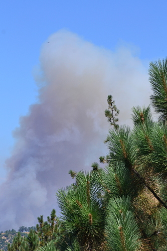
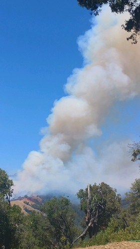
Resident watching in Mill Creek from South reports: “It’s blowing up right now. BIG Column”


