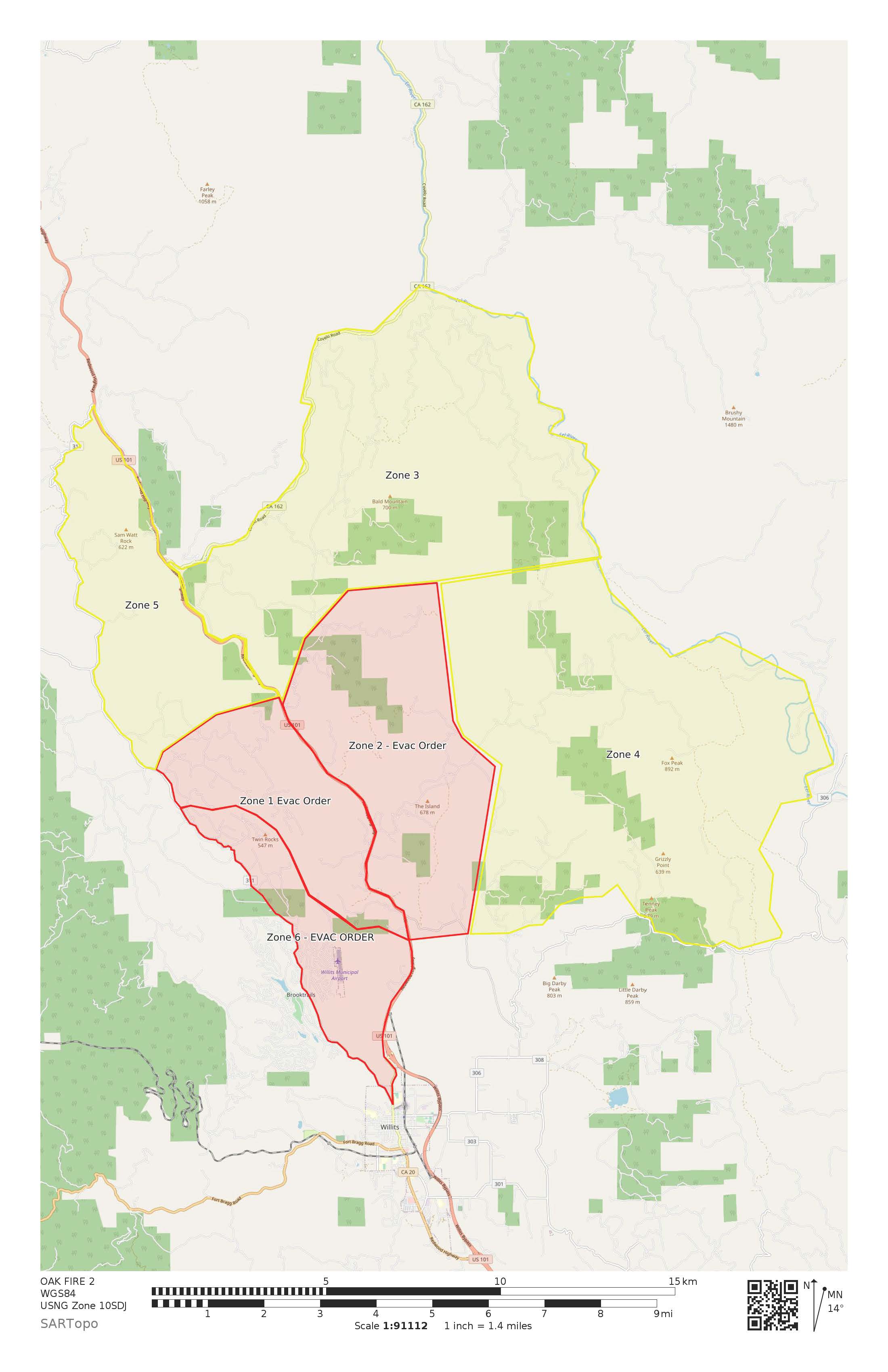
Latest evacuation map. Yellow = warning; Red = go
1 Like
200 acres holding west of 101
AA just reported 800 acres and holding west of 101.
1 Like
These are the two cameras looking towards the Oak Fire:
http://www.alertwildfire.org/northcoast/index.html?camera=Axis-Cleland1&v=81e002f
http://www.alertwildfire.org/northcoast/index.html?camera=Axis-Sanel2&v=81e002f
Directly at it, in fact.
2 Likes
The smoke column appears to be shifting towards the south as the North Wind arrives.
1 Like
800-1,000 acres holding west of 101 for now.
1 Like
I was gonna guess over a 1000 seeing as how it just capped.
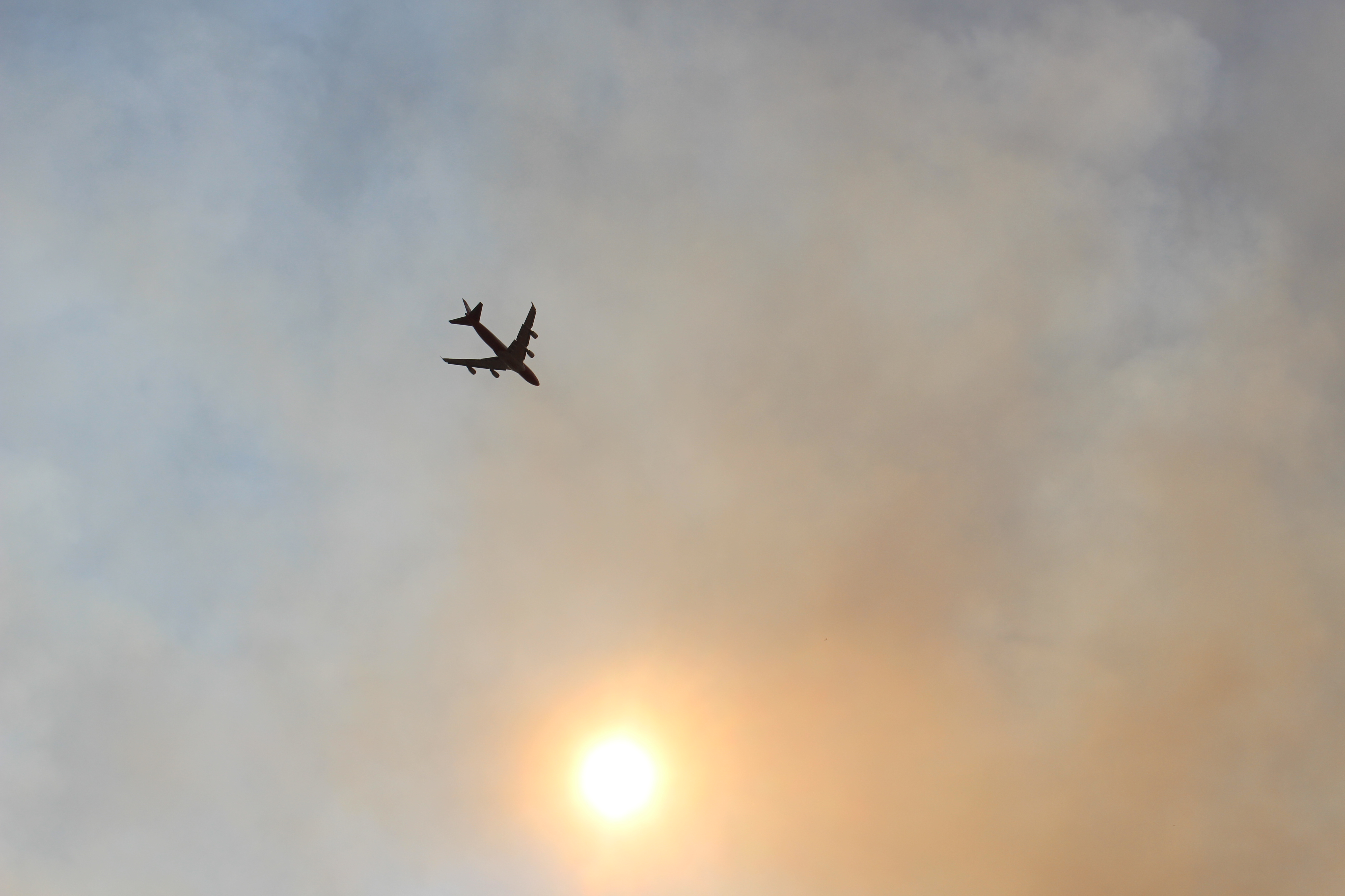
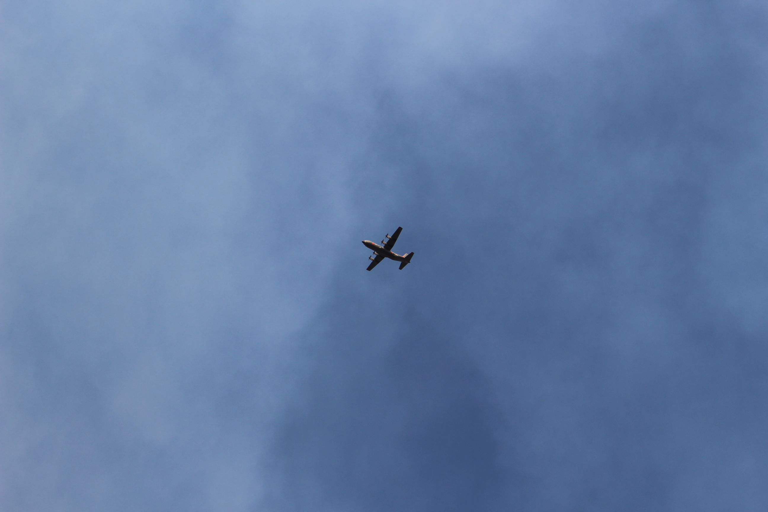
MAFFS just flew over Redwood Valley.
1 Like
6 posts were merged into an existing topic: CA-LNU-Walbridge?? (13-4)
If it is “700 acres” it won’t be for long.
2 Likes
ICP location?
comment on IA inquiring about released resources from SCU complex, they maybe timed out. is there any talk to going to 21 day time out with the heavy drawdown???
Many resources have already hit their 21 from the start of the multiple lightning complexes. Some LG have returned and gone back out with new crews
3 Likes
Sounds like calfire team 5 is headed to mendo
The team is likely headed to Mendo as much for the Oak Fire as it is to develop and work on contingency plans for the Mendo Complex moving West out of the forest and into the SRA.
3 Likes
I would absolutely concur with that