Wildfire Intel
CA-MMU-OAK???
California & Hawaii Hotlist
Questions and Discussion
DogBone
July 23, 2022, 1:02am
114
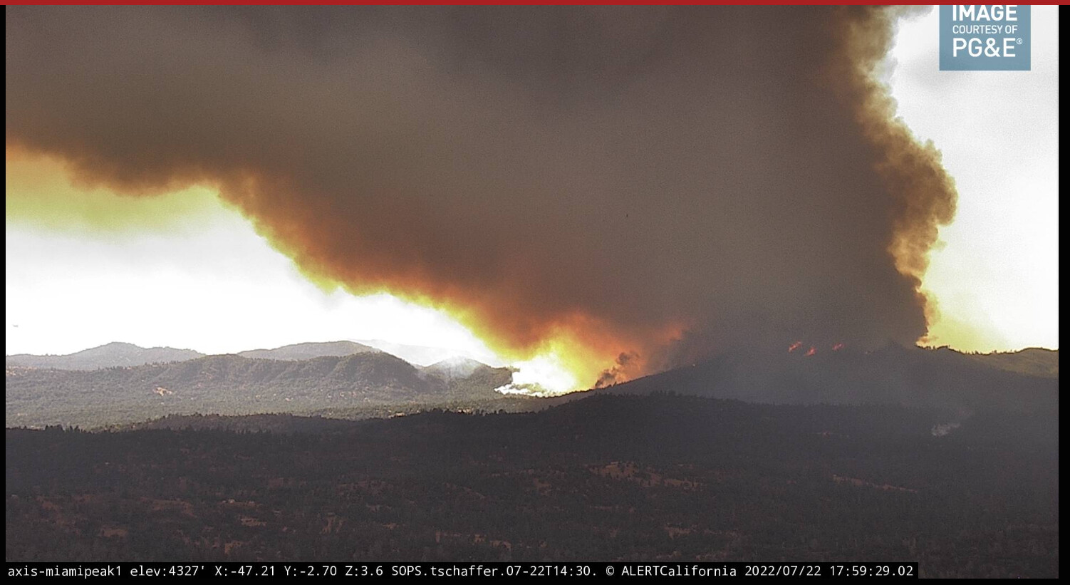
image
1502×821 213 KB
You can see it for sure.
9 Likes
CA-MMU-Oak
show post in topic