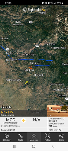
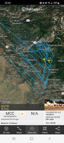
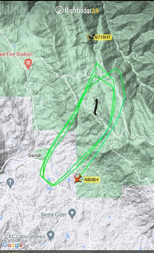
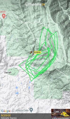
heavy activity in Romeo some in November and I saw some localized intense behavior in delta/lima
IR mapping as well. Live video.
Copy that. Thank you.
4 years ago today
FERGUSONFIRE
–>Yosemite National Park has announced they are closing the Yosemite Valley, Wawona, and Mariposa Grove at noon on Wednesday July 25, 2018.
Yosemite News Release
July 24, 2018, 1:00 P.M.
For Immediate Release
Media Contacts:
Scott Gediman 209-372-0248
Yosemite National Park Announces Additional Temporary Closures
Yosemite National Park announces Yosemite Valley and Wawona will close at Noon tomorrow, July 25, 2018, to all visitors due to the ongoing impacts of the Ferguson Fire. These closures include all hotels, campgrounds, and visitor services in Yosemite Valley and Wawona. Park visitors currently staying in park campgrounds and lodging facilities are asked to be out of these areas by Noon tomorrow. With the ongoing closure of Highway 140, park visitors can exit the park via Highways 120 and 41. The temporary closure is expected to last until Sunday, July 29, 2018. The Mariposa Grove of Giant Sequoias is closed.
Since the fire began on Friday, July 13, several other park facilities and roads have been closed due to fire impacts and the need to support firefighting operations. These closures include the Glacier Point Road, Bridalveil Creek Campground, the Wawona Campground, the Merced Grove of Giant Sequoias and others. .
Highways 120 West and East, and the Tuolumne Meadows area remain open at this time.
The park will continue to work with the Incident Management Team and assess conditions day by day.
For updated 24-hour road and weather conditions for Yosemite National Park, please call 209-372-0200, press 1 and press 1 again. Updated information is also available onthe park’s website at www.nps.gov/yose.
-NPS-
I will start producing data packages for TAK now that the team in place and producing products.
They can be found daily at maps.takserver.us in ATAK MAPPING\2022 INCIDENTS
Yah. My FB memories are full of #FergusonFire and #DetwilerFire stuff these days. And my wrist still honors Braden Varney every… Single… Day.
Along with all wildland firefighters. #neverforgotten
Data package posted at MAPS.TAKSERVER.US
No public facing IR data on Team Box or FTP
FIRIS does have a public facing KML network link for ATAK, Google Earth, Cal-Topo or your geospatial tool of choice.
Any updates on more or less requests? I havnt found any of the IAP links.
Have they requested an OES either?
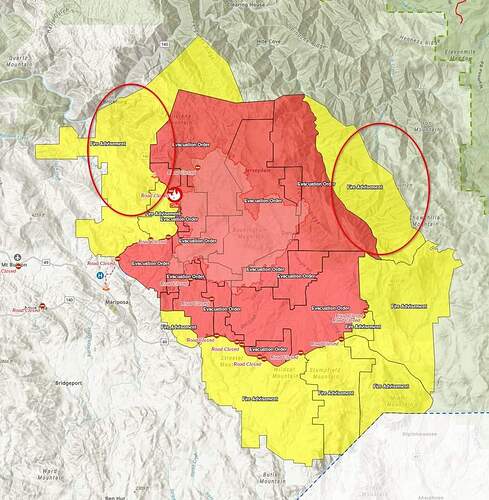
Workin workin workin spot fires in various places but hard to keep track of. Also the fire jumped Skeleton Creek and they were requesting structure protection on Snyder
*going direct on the November lima break
*Fire is actively backing off the heliport spur
*Going direct in Div L all the way to the division break
*fires pushing for the south fork of merced in juliet
*going direct in division lima in owl creek and skeleton confluence
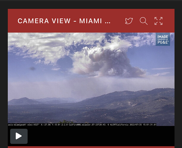
One of those areas is making a run now. It’s found the moisture moving in.
Kirby Peak I think
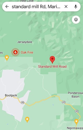
They were talking about how far down it comes off Kirby Peak towards Standard Mill Rd
This one really shows the moisture/clouds showing up:
Axis-RedTop1 | Sierra & Foothills | Regions | ALERT Wildfire

