
4200 acres now
4 Likes
Tanker 914 and 911 are committed to this incident. Air attack and lead plane are over the incident.
4 Likes
AA07 enroute on National Flight with Angeles.
5 Likes
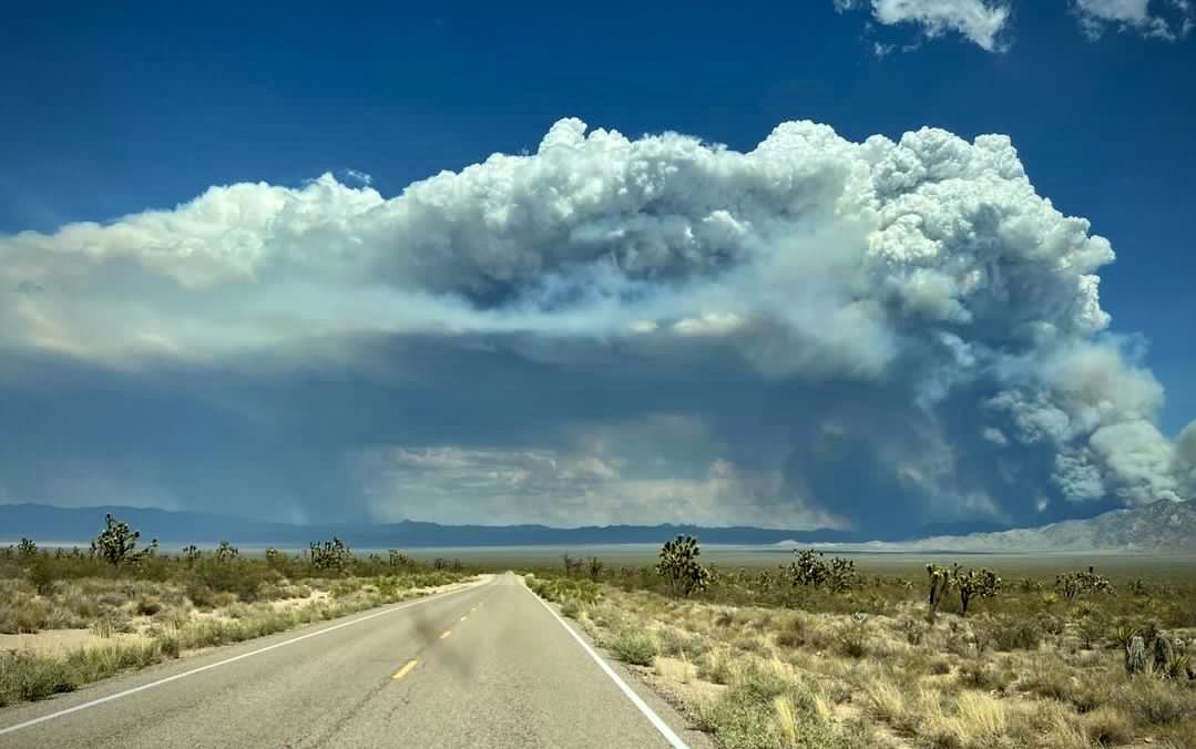
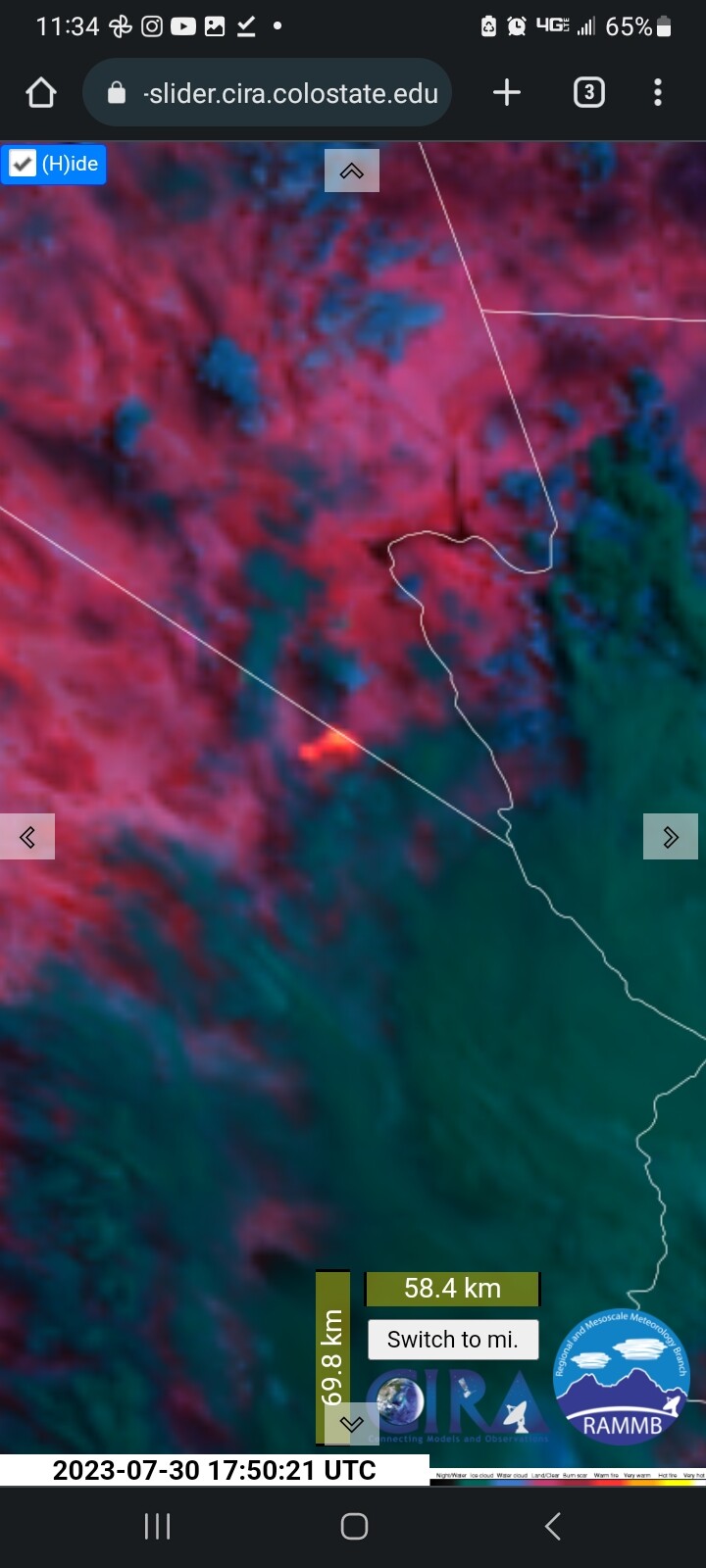
The York Fire is estimated around 30,000 acres and 0% containment. The fire continues to move in a northern direction. The collaboration between ground crews and aerial resources is ongoing in the firefighting operations. Their combined efforts are essential in gaining control of the fire and mitigating its impact.
No currently closures or evacuations at this time.
9 Likes
That’s quite the jump in acreage.
4 Likes
That’s what I thought also when I saw the new update on this fire .
2 Likes
What putting a fire on monitor phase does. Prolly good for that area though
1 Like
Was never on monitor status, has been in active suppression from when it started
8 Likes
Ah, thought I read somethin that it was.
2 Likes
Getting a little monsoonal moisture influence.
7 Likes
Any orders pending?
1 Like
Team ordered
4 Likes
CA IIMT 13 (Wakoski) ordered - type 2 IMT
3 Likes
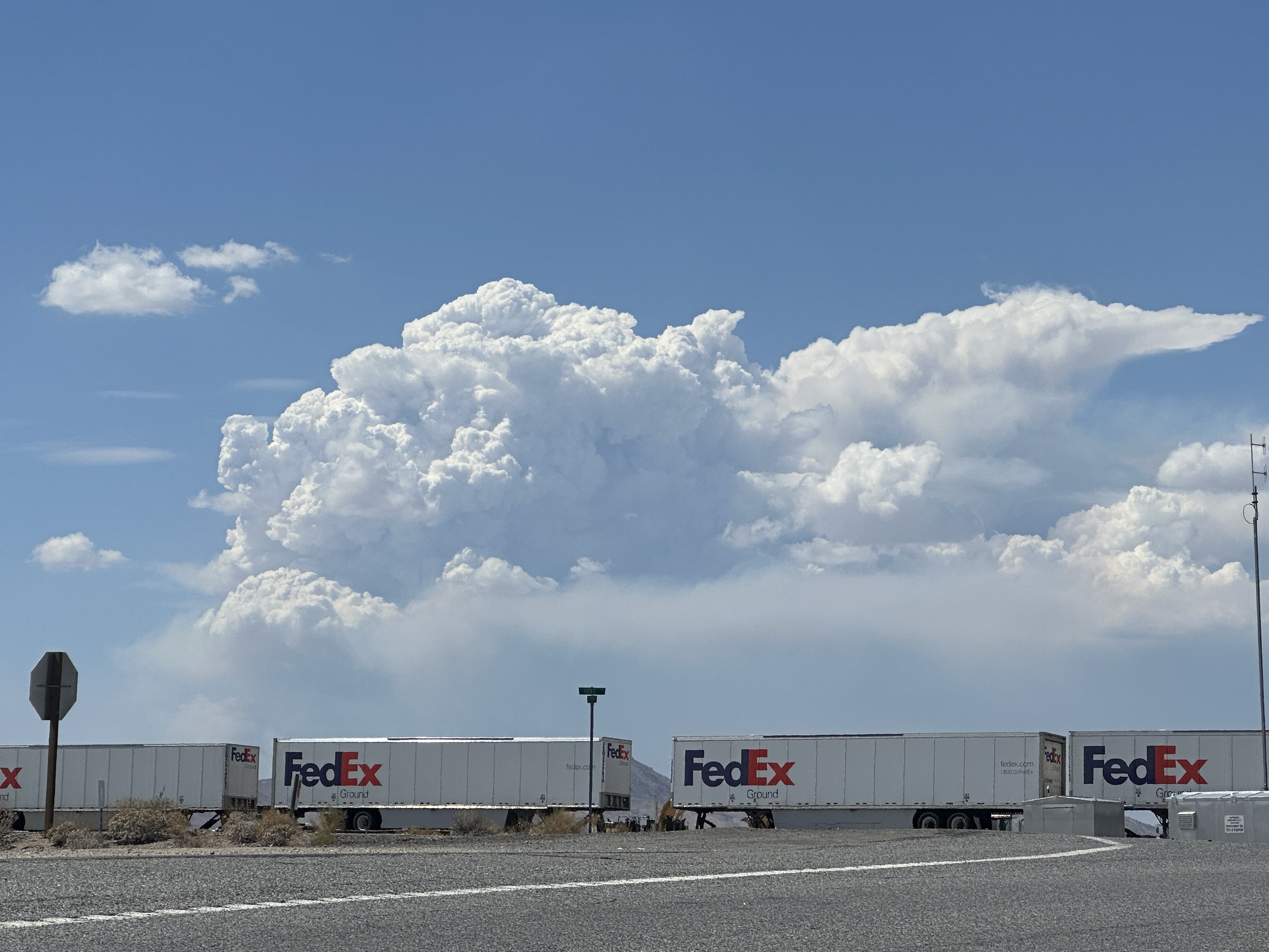
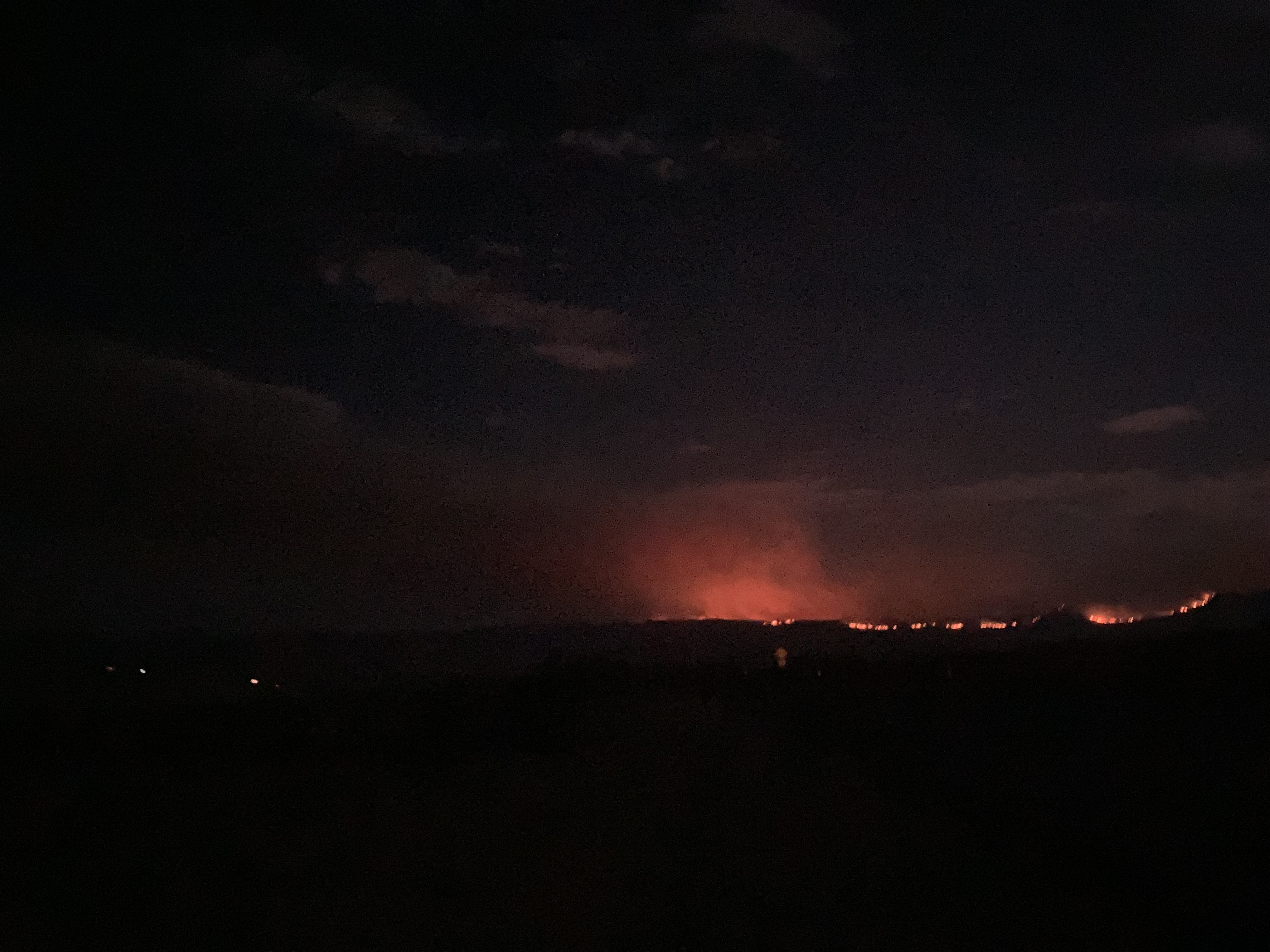
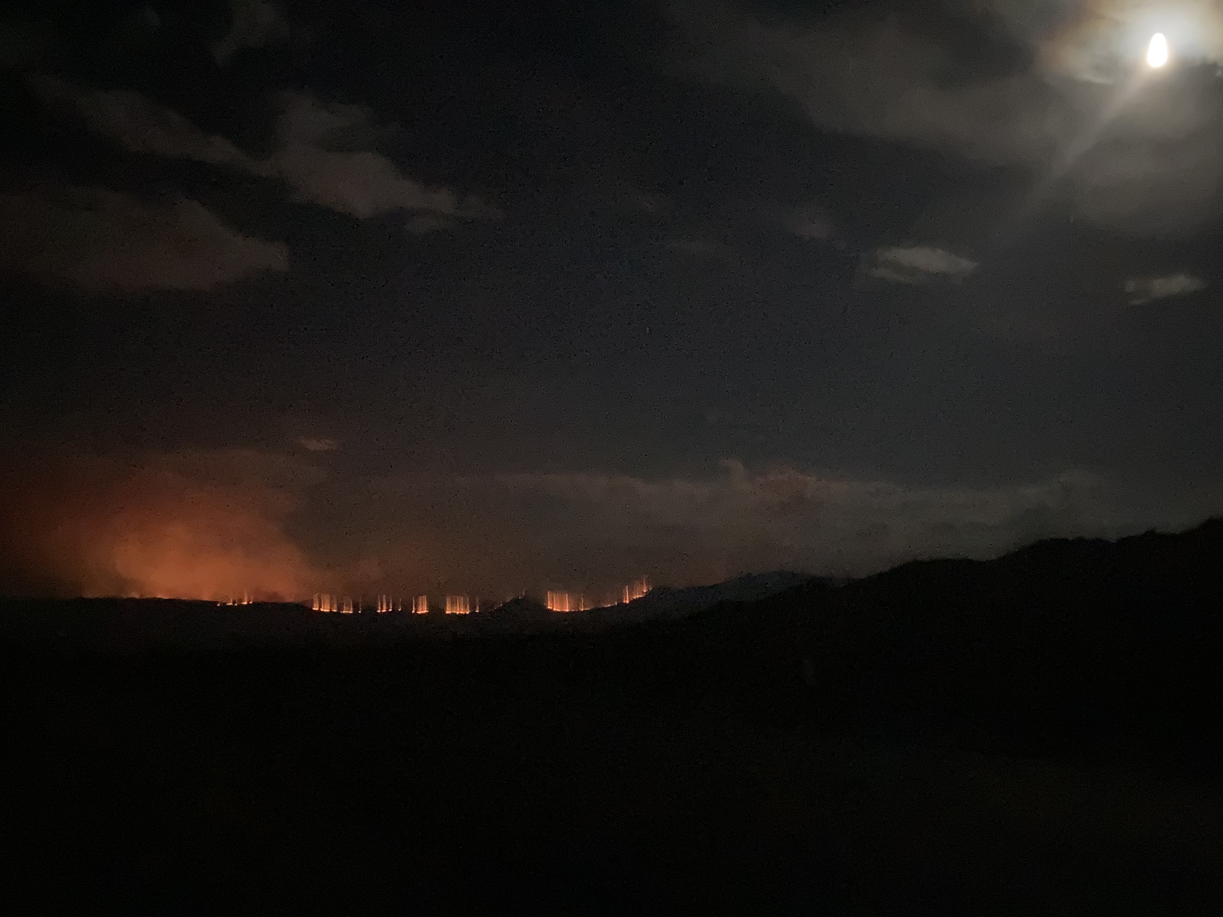
View from Nipton Rd. X I15 at 2150. Nipton, CA is ~5 miles to the NW of the flaming front. 8%RH, winds ~5mph SW.
4 Likes
2 Likes
70,000 acres, 0% contained. Team in-briefing at 1600 today
11 Likes
Running to Nevada.
5 Likes