State ID:CA
3 letter designator:MVU
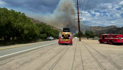
Fire name:Mesa
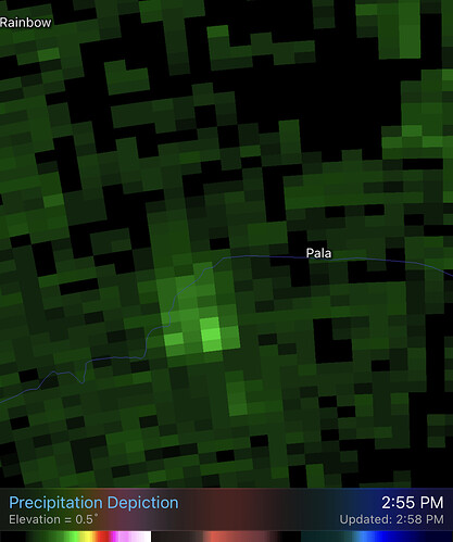
Location:Hwy 76 and Pala Del Norte
Reported acres:20-30
Rate of spread:RROS
Report on Conditions:Per AA…20-30 in light flashy fuels at toe of the slope. Just starting to run uphill. Potential for extended
Structure threat:Yes
Resources:
Hazards:
Weather:
Radio channels:MVU2
Scanner link:
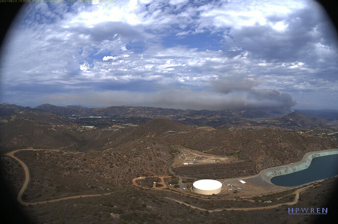
Webcam link:ALERTWildfire | SDGE
Agency Website:
Mesa AA requesting 1 T2 copter with crew
Scanner link? Thank you…
Per IC…40 acres, MROS. Still potential for extended attack
IC requesting 10 T3’s, 4 Crews, 2 WT’s and 2 Chief Officers

The fire has transitioned from grass to brush and is pushing hard up hill. It is about to hit the top of the ridge, but it’s also pushing sideways against the wind.
Per IC…Fire is now 75 acres with MROS
Update…1 T1 or T3 ST depending on what they can fill 1st. Immediate need
Will be wind and Slope aligned for the afternoon Seabreeze up Pala-Temecula Canyon. Not real good dozer country about 1/4 way up the Slope. Provided they can keep the fire on the west side of Pala-Temecula Rd they have a chance. The last time that piece of dirt burned was 1996/1997. At least thay have a water source close by for the rotor wing at the Old HG Fenton Sand Pit.
Stay safe
edit this will be SOUTH not north(old age) of the old HG Fenton Sand Pit. Could cause problems for the water source as there are 600Kv lines right next to the dip site and the smoke is blowing that way. This area was supposed to be the Gregorgy Canyon Landfill and did not burn in the 07 Rice fire
Objectives are to keep it south & east of Hwy 76, west of Lilac Rd & north of Pala Loma Dr. Fire is now up to the ridge, closest structures 1/4 of a mile away.
This fire is south of 76 and just east of Couser Cyn
The type 1 or 3 Strike Team is needed at San Antonio Way and Pala Loma. Copter 10 is clearing the fire in San Diego City and should be en-route. SND is also providing water tenders. An OES rep is en-route to the ICP.
Intel 12 is en-route with a 25 min ETE, we should get a better idea of size and potential after they map it.
AA-500 requesting 2 additional tankers to replace tankers that are being diverted and wants to check on the availability of a VLAT and their ETA if available. T-70 and 131 have been diverted but I don’t know where.
Poomacha was approx 10-12 miles east of this fire. I don’t ever remember this area burning in the last 20-30 years at least
VLAT is available out of Santa Maria…unknown ETA.


