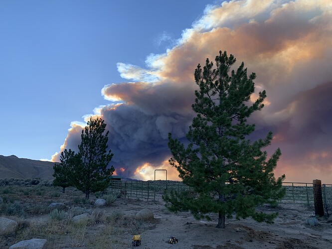
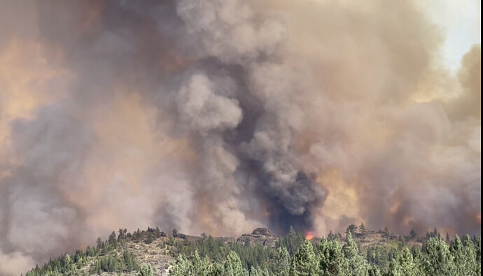
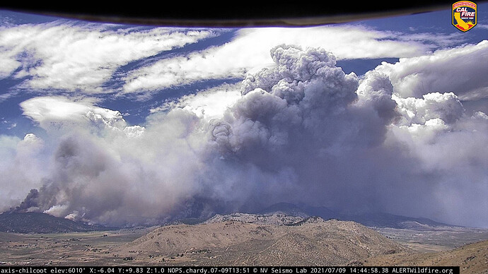
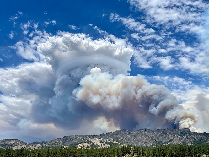
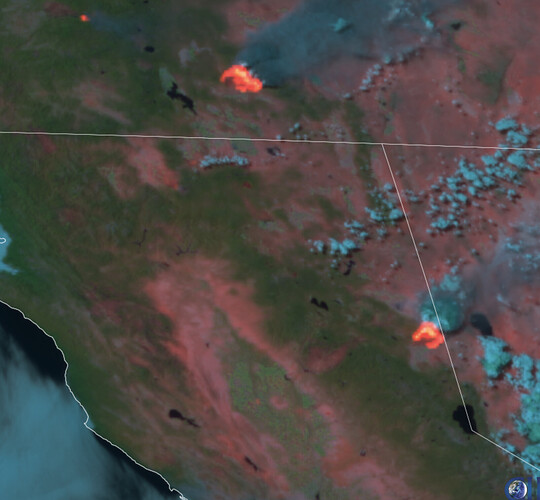
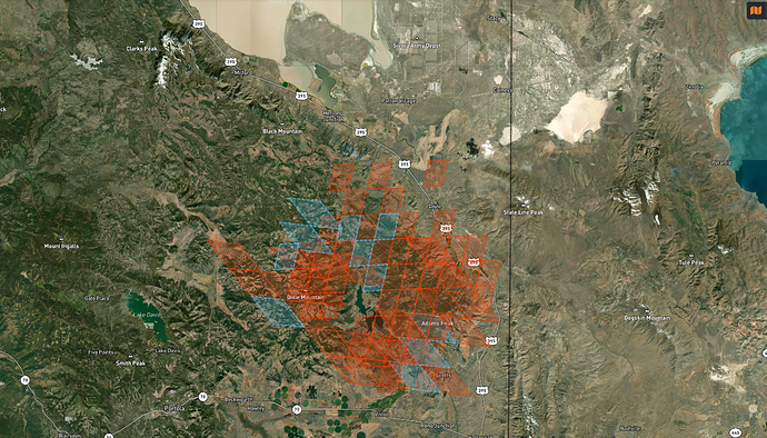
Even though it was a dry winter there is plenty of cheat grass and medusahead between the crest and 395. Last year’s fires crossed 395 without much trouble. There was a firenado pretty close to the bug station.
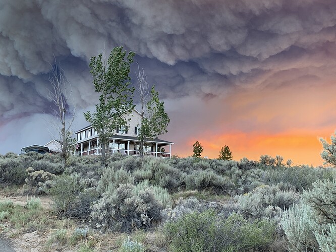
That first picture is awesome
That top pic is awesome! Did you take the pic ?
Believe AA just said 37,000 acres
Hoping historic Dixie Mtn. Forest Fire Lookout is okay. Located in Sec. 15, Twnshp 24N, 15E.
Anyone have an update on this?
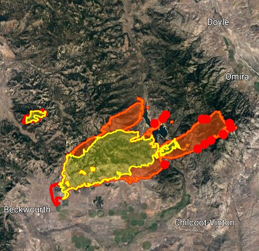
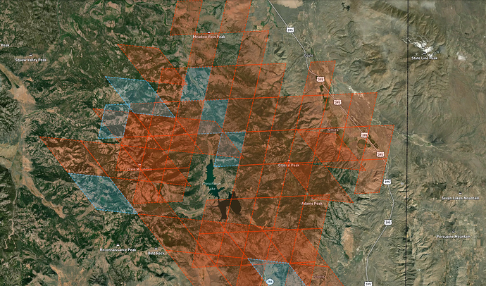
5 minute old GOES East and West fire pixels
These pixels are 2km x 2km so you cannot tell for sure where the fire is in the pixel.
You can see where the crossing of 395 likely occurred.
Grass Valley just toned out a strike team. I didn’t get the numbers.
Peavine Peak (Reno area) is now pointed at the fire.
http://www.alertwildfire.org/tahoe/?camera=Axis-Peavine
Caltrans camera at Doyle shows HWY 395
https://cwwp2.dot.ca.gov/vm/loc/d2/doyle.htm
The red pixel directly north of the word Doyle has just turned from low to high.
This is a pretty good indication that the fire is moving around Doyle.
Dixie Lookout was cleared around and wrapped. Fire hasn’t got up there yet.
RAMMB satellite shows big heat signatures for two heads, north and south.
here’s a refresh on the caltopo :
https://caltopo.com/map.html#ll=39.97279,-120.15293&z=11&b=t&o=f16a%2Cgoes_0&n=1,0.25&a=fire%2Cmodis_mp
I might have heard AA15 out of Fresno heading there or was it Bootleg Oregon fire. I was far from the radio.
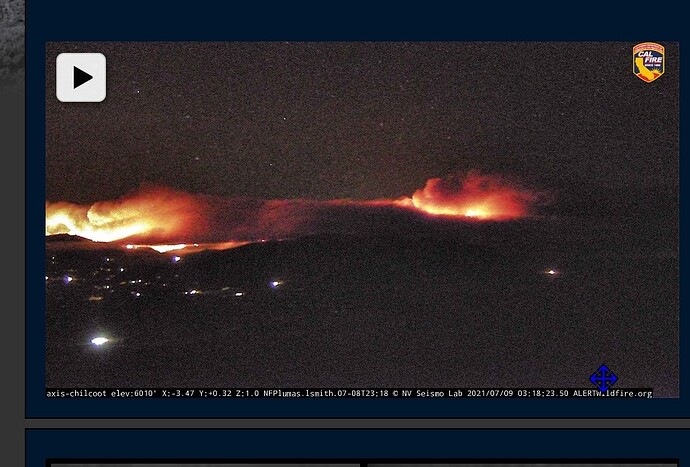
The Babbit cam is giving a broad view of the fire:
http://www.alertwildfire.org/shastamodoc/index.html?camera=Axis-Babbitt&v=fd40729
Size: 89,748 Acres
Contained: 23%
Reno news is reporting just under 90,000 acres and 46% containment this morning.

