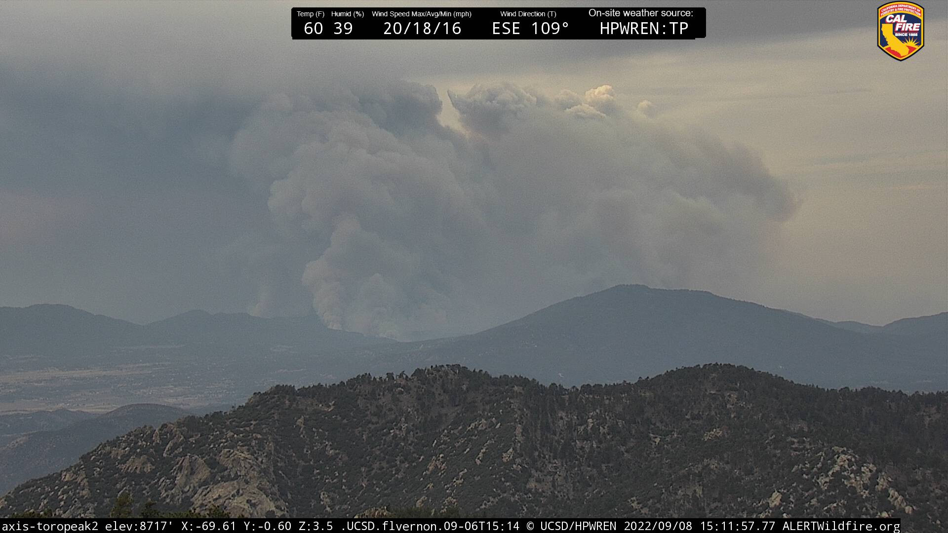
CA-RRU-Fairview???

LCES…. Unstable conditions

https://www.alertwildfire.org/region/inlandempire/?camera=Axis-Idyllwild1

2 Likes

Current evacuation map:
Fairview Fire 2022 - Follow @CALFIRERRU for UPDATES - Google My Maps

1 Like

Making a massive push up Bautista Canyon, the header here in Cherry Valley is massive.

2 Likes

It has not!

2 Likes

2 Likes

2 Likes

Looks like its getting mapped as we speak.

1 Like

FIRIS mapped at 23,919 acres

5 Likes

It’s caught on rouse ridge right now and they’re working to hold it before the 74

3 Likes

There was a significant fuel break constructed along Rouse ridge in years past. Hopefully that plays into it.

3 Likes

Newest evacuation map released 1600:
Fairview Fire 2022 - Follow @CALFIRERRU for UPDATES - Google My Maps

1 Like

In the last hour, there has been a noticeable shift in the smoke column further to the SW as the winds are starting to change.

5 Likes

Has it reached sage road?

No. Not really close even. I was up on Sage Rd all afternoon and the fire is hung up on a slope several miles to the east. With that said…40-60mph winds will change that very quickly. Even drove all the way out Minto way to the intersections of Red Mountain. Extremely quiet in that are all afternoon

6 Likes

It appears something is burning in Valle Vista are, anyone with info ?

That is right by 74 east of Grant?

2 Likes

Just released evacuation map at 2125 hours:
Fairview Fire 2022 - Follow @CALFIRERRU for UPDATES - Google My Maps

2 Likes

That just got BIG! But as others have said lots of open line and predicted crazy wind.

2 Likes

This up coming weather event is going to be a real test. Fire, winds, rains.

3 Likes

40-60 MPH winds will be the big test. Coming soon… hope everyone stays safe.

1 Like