Stanley fire 1996. Milton fire 2004
Yes, Stanley.
Several more of size in there since. 2007 through 2010
Any word on fire in Valle Vista area or fire progression map in that area? Thanks
Current evacuation map:
Fairview Fire 2022 - Follow @CALFIRERRU for UPDATES - Google My Maps
Valle Vista area its backing and flanking on the Bautista side, still some un burned pockets near fairview POI. On others side of Bautista fires holding on rouse ridge forest road and fire is backing down towards orchards along Hwy 74. The wind has been the variable factor in ROS depending on alignment, when aligned its running and flanking. Lots of unknown and hopeful thought
Qs with forecated predicted weather.
Edit: loosely holding on rouse ridge, crews have a lot of work to secure it
Thank you we have friends by that orchard. Should be fine but you never know
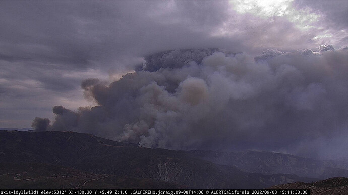
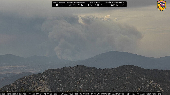
Looks like she is waking up on the cameras
Has this fire moved north, toward the 74 or Idyllwild at all?
LCES…. Unstable conditions
https://www.alertwildfire.org/region/inlandempire/?camera=Axis-Idyllwild1
Current evacuation map:
Fairview Fire 2022 - Follow @CALFIRERRU for UPDATES - Google My Maps
Making a massive push up Bautista Canyon, the header here in Cherry Valley is massive.
It has not!
Looks like its getting mapped as we speak.
FIRIS mapped at 23,919 acres
It’s caught on rouse ridge right now and they’re working to hold it before the 74
There was a significant fuel break constructed along Rouse ridge in years past. Hopefully that plays into it.

