Highway 166 x Perkins Road
3 Likes
Plant Incident, might be like SRA.
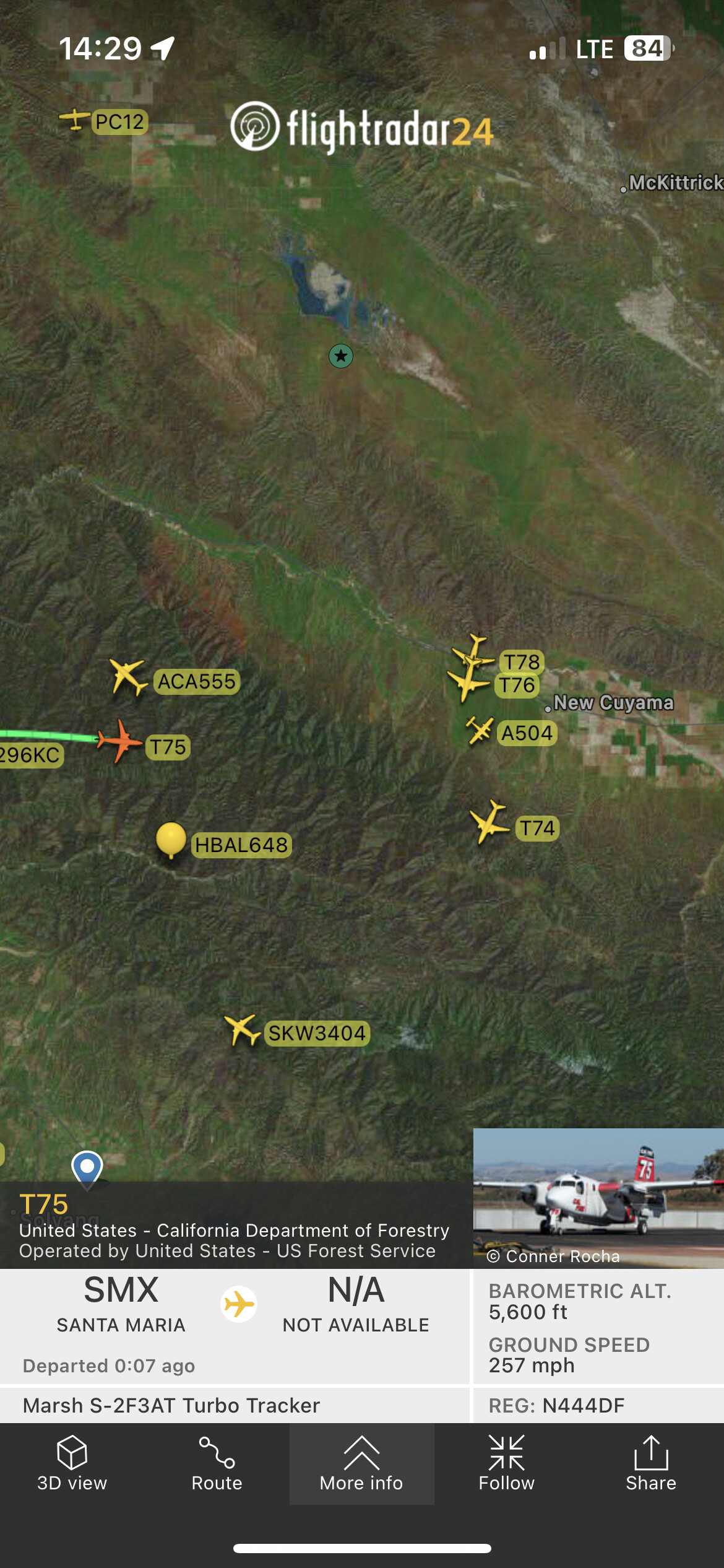
A504 T74 T75 B11 DZ22 E323 E326 E327 H964 LPF-ENG ME26 ME27 MED27 WT26 ?WT27
4 Likes
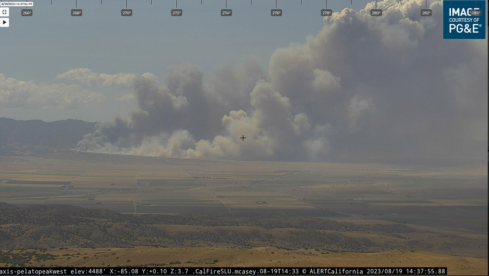
50 acres rros, potential of 500, structures threatened per AA.
5 Likes
IC requesting 2 additional dozers, 4 crews, 2 additional tankers and 2 charlie strike teams immediate need.
5 Likes
IC requesting evacs from Aliso Cyn to Wasioja Cyn.
3 Likes
Online scanner link ?
Upgrading to two addition tankers, one is a VLAT, and two additional helos preferably HT and 2 additional charlie ST for a total of 4.
3 Likes
AA updating 250+ acres.
2 Likes
Santa Barbara County Fire District Live Audio Feed (broadcastify.com)
Also, some downwind smoke investigations.
4 Likes
Tanker 911 is in the air.
T76 and T78 north of Bakersfield. Add T79, T80 Morgan Hill south bound.
Believe I heard B71 as well.
3 Likes
Tanker 911 is currently east of Stockton.
4 Likes
Mods, can we change this to CA- SBC- Plant 2023.
Thanks
1 Like
Tanker 911 is currently just south of Stockton and still heading north.
1 Like
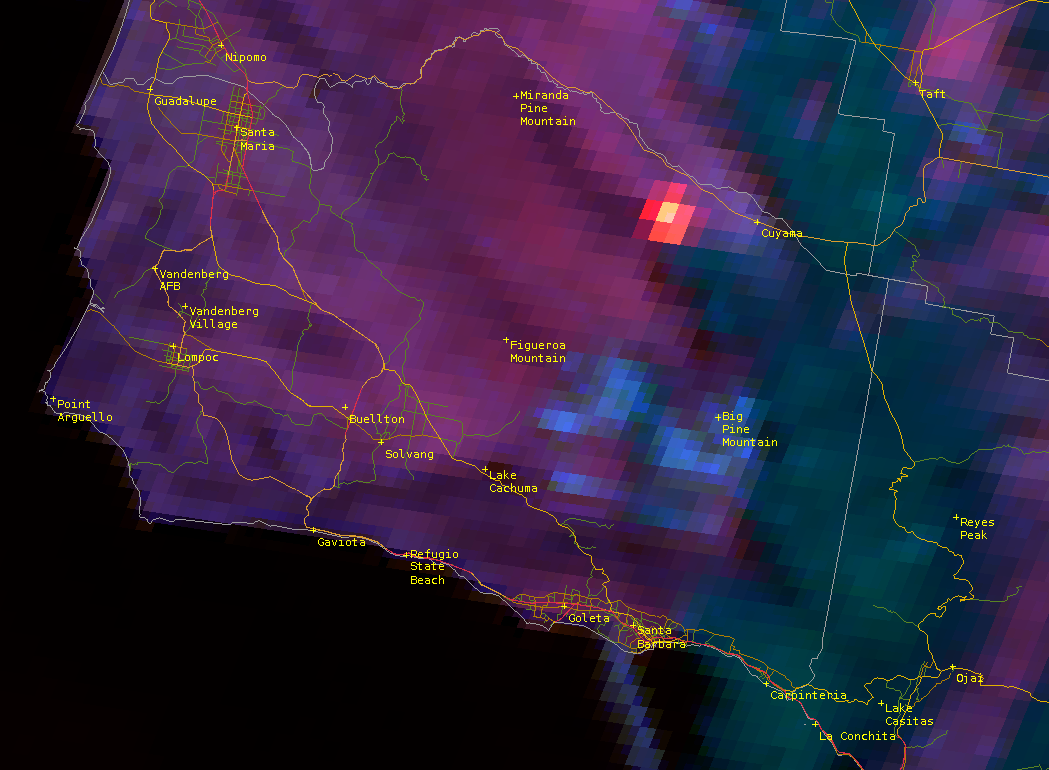
Looking hot on the GOES-rgb at the moment. Southerly flow this afternoon but models want to switch winds to northeast this evening pushing it away from 166 towards the LP Forest. Roughly in the vicinity of Spanish Ranch fatality fire from 1979. (2006 Perkins fire as well)
5 Likes
TNK911 just landed at MCC
3 Likes
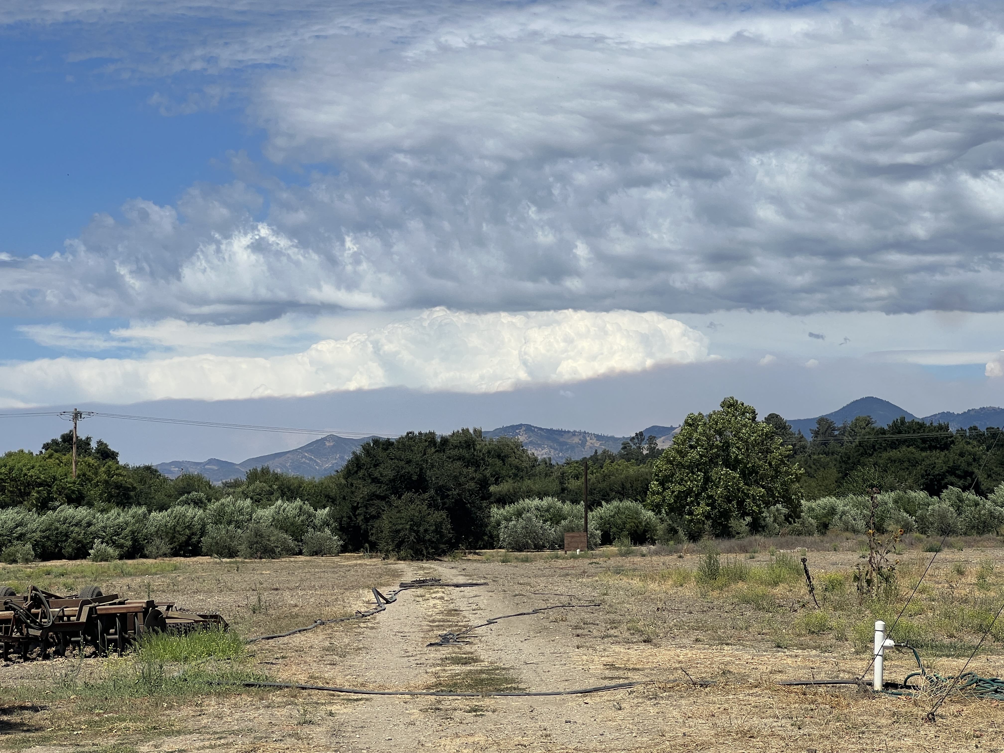
View from the other side of the Sierra Madre Mountains in Santa Ynez. Pretty good cumulonimbus build up beyond the smoke to the east.
3 Likes
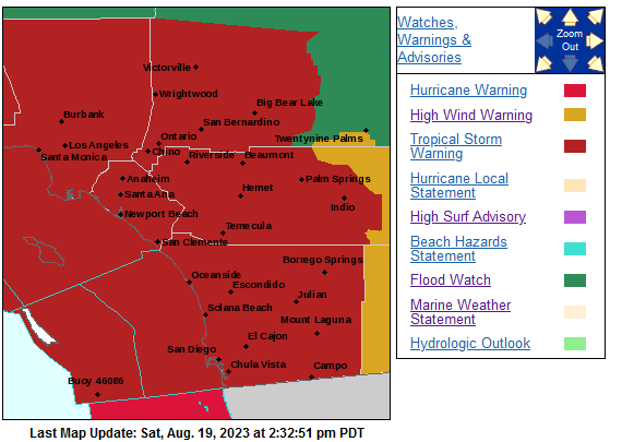
Well add this to the things I thought! I’d never see in my lifetime in SoCal. Large veg fire while under tropical storm warnings. WTF is happening
6 Likes
Hopefully it does not establish in LPF because there is a very sharp precipitation gradient between Ventura county and here when the storm gets there, and the winds will push out of the NE.
Sorry if my coherency is lacking, barely any sleep MOD please move this post to the Plant fire thread
8 Likes
Spot weather forecast is on order. Casually, looks like some thunderstorm activity on a northwest-northeast line, roughly on Taft. But I’d be ready for gusty and variable winds whether they get precip on the fire, or not. Not expecting sustained rain until late tomorrow afternoon, coming from the east, then it’s probably going to rain pretty good tomorrow night.
4 Likes